Eight miles is where hiking stops being exercise and starts being an event. You’re committing a full day. You’re packing lunch, not just a granola bar. You’re thinking about pace, weather windows, and whether your knees will cooperate for the descent.
On the East Coast, the 8-mile range unlocks terrain you simply cannot access on shorter trails — above-treeline alpine ridges in New Hampshire, exposed rock scrambles across multiple Catskill summits, and the legendary boulder maze of Old Rag in Virginia. These aren’t trails you do on a whim. They’re the ones you plan around.
Is Franconia Ridge the Best Day Hike on the East Coast?
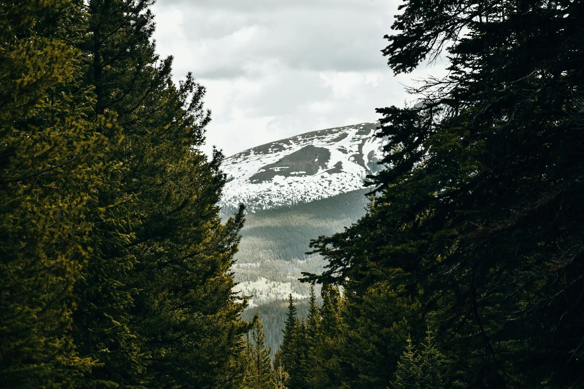
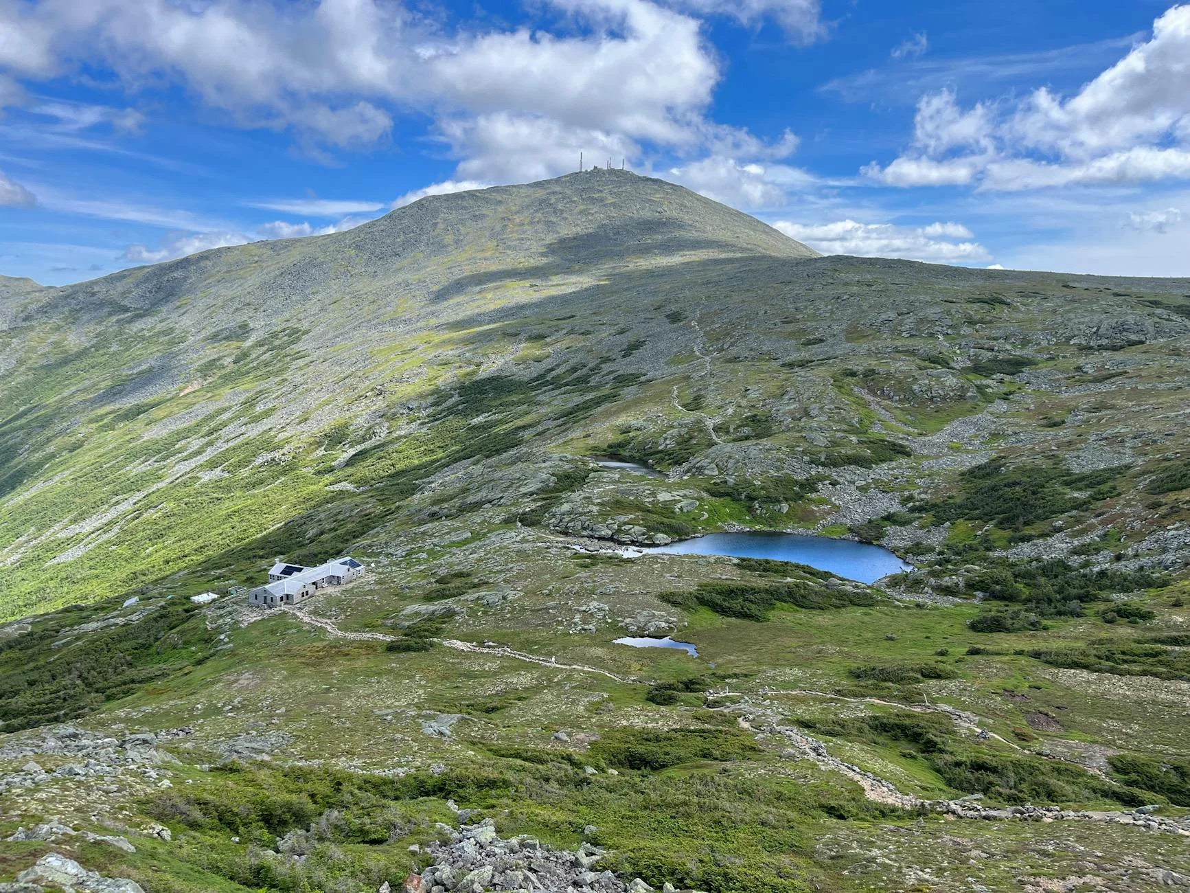
A lot of people think so. I’m not sure I disagree.
The Franconia Ridge Loop in New Hampshire’s White Mountains is 8.8 miles with roughly 3,900 feet of elevation gain. The centerpiece is a 1.7-mile exposed ridge walk above treeline — the kind of terrain you’d expect in Colorado or the Alps, not two hours from Boston.
But here’s what the mileage doesn’t tell you: this hike is significantly harder than any 8.8-mile trail has a right to be. Hikers consistently rate it beyond the “challenging” label. Multiple people call it one of the hardest physical challenges of their lives. The combination of icy descents, exposed ridge winds, and technical terrain makes the mileage deceptive.
One experienced hiker put it bluntly: “This is much harder than it looks from the mileage and elevation gain.”
The details: 8.8 miles, ~3,900 ft gain, extremely challenging. 4.9 stars from 19,100+ reviews — the highest-rated trail in our entire East Coast database. Franconia Notch State Park, NH.
Pro tip: Start via Falling Waters Trail (counterclockwise). The exposed ridge section demands clear weather — check Mount Washington Observatory forecasts, not your phone’s weather app. Wind speeds above treeline frequently exceed 50 mph when the valley below is calm. Turn back if conditions deteriorate on the ridge. People have died here from exposure in summer.
Does Old Rag Mountain Live Up to the Hype?

Old Rag is the most-hiked trail in Shenandoah National Park, now requires a day-use ticket on weekends, and still draws enough people that the rock scramble section can have 20-minute backups at bottlenecks. It’s hyped for a reason.
The circuit is 9.8 miles with 2,800 feet of elevation gain. The first half is a sustained rock scramble — not just “rocky trail” but actual bouldering that requires upper body strength, route-finding through crevices, and comfort with exposure. The second half descends via a comparatively boring fire road that hikers unanimously describe as brutally tedious on tired legs.
What makes Old Rag unique: the granite scramble section is genuinely unlike anything else on the East Coast. It’s not a trail with some rocks on it. It’s a boulder maze with occasional trail between obstacles. People with large packs, fear of heights, or limited upper body mobility struggle significantly.
The details: 9.8 miles, 2,800 ft gain, hard. Shenandoah National Park, VA. Day-use ticket required on weekends and holidays.
Pro tip: The descent on the fire road is where most people’s enjoyment dies. It’s 4+ miles of monotonous loose gravel after the excitement of the scramble. Mentally prepare for a long, knee-punishing walk out. Trekking poles save your joints on this section. Start early — the parking lot fills by 7 AM on fall weekends.
What’s the Best 8-Mile Hike in the Catskills?
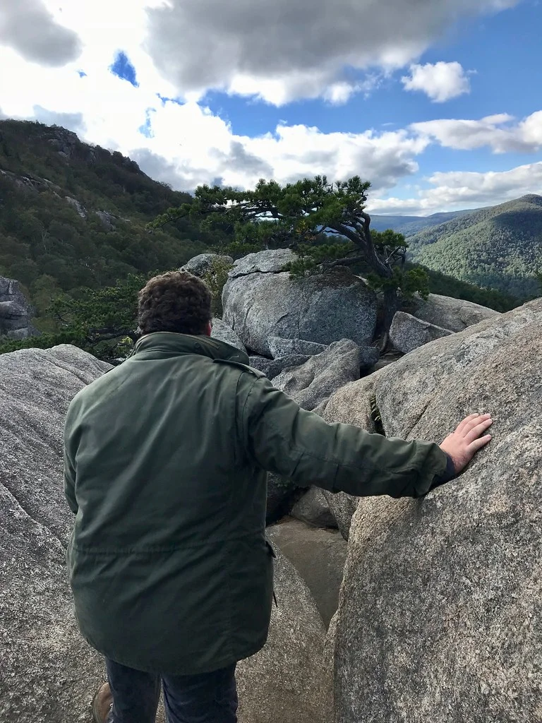
The Blackhead Range traverse — 8.2 miles connecting Black Dome, Blackhead, and Thomas Cole mountains with 2,680 feet of total elevation gain.
This isn’t the most famous Catskills hike. It doesn’t have Slide Mountain‘s “highest peak” prestige or Hunter Mountain’s ski area name recognition. But for sustained ridge walking above 3,500 feet with multiple viewpoints and genuine physical challenge, it’s the best full-day option in the range.
The difficulty is consistent rather than spiked. No single section will stop you like Breakneck’s opening scramble, but the cumulative climbing across three summits wears you down. In winter, the route transforms — relentless ice and post-holing through deep snow push this from “hard day hike” to “bring microspikes and possibly snowshoes.”
The details: 8.2 miles, 2,680 ft gain, challenging. Catskill Forest Preserve, NY.
Pro tip: In winter, start early. Snow softens by mid-morning on warmer days, making the descent significantly slippier. The approach from Barnum Road trailhead is shortest. Water sources are unreliable on the ridge — carry everything you’ll need.
Is Giant Mountain Worth the Extra Effort Over Cascade?
Cascade Mountain in the Adirondack High Peaks is the most popular of the 46 High Peaks — short, views on top, packed every weekend. Giant Mountain is twice the effort, three times the solitude, and the views are better.
Giant Mountain with Rocky Peak Ridge extension is 8.5 miles with 4,436 feet of elevation gain — the most vertical on this list. The trail features sustained exposure on the upper ridge and genuine hand-over-foot scrambling on Rocky Peak.
The payoff: a ridge walk with 360-degree views across the Great Range, and significantly fewer people than Cascade or any of the more accessible High Peaks.
The details: 8.5 miles, 4,436 ft gain, hard. Adirondack Park, NY.
Pro tip: Dogs can complete this trail but may need a physical boost on the steepest rock sections. Bring extra water — there are no reliable sources above the first mile. Clear-day summit views stretch to Vermont and the Green Mountains.
What’s the Deal With Table and Peekamoose?
Table and Peekamoose Mountains is a 9.4-mile traverse in the Catskills that peakbaggers need for their 3500 Club list. But even if you don’t care about lists, the combination of two summits, deep wilderness, and a remote trailhead that filters out casual hikers makes this one of the quietest full-day options near NYC.
The difficulty is real — 2,600 feet of gain split across two peaks, with steep sustained inclines and fierce summit winds. In winter, ice forms on the rocky bald near Peekamoose’s summit that’s genuinely hazardous without full traction gear.
The details: 9.4 miles, 2,600 ft gain, hard. Southern Catskills.
Pro tip: Well-prepared hikers with microspikes find winter conditions manageable. Those without crampons report dangerous conditions, especially on descent. The trail is quiet year-round because the trailhead is remote and unsigned — use GPS navigation to find the start.
Can You Do Balsam and Eagle Mountains in One Day?
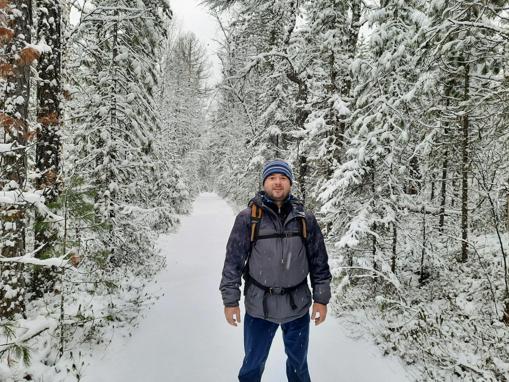
Yes, and the combination is one of the best multi-summit days in the Catskills.
Balsam and Eagle Mountains total 9.8 miles with two peaks above 3,500 feet. The terrain is steep and rocky throughout — shoulder seasons add deep mud, and winter conditions add glare ice and deep snowdrifts. The Cascade summit in particular gets extreme winds — one hiker described it as “like being on another planet.”
The details: 9.8 miles, challenging terrain. Central Catskills.
Pro tip: Carry full winter gear if hiking November through March. The summit winds are not the standard “it’s windy up there” you get on 2,000-foot peaks. Multiple hikers independently flag the Cascade summit wind exposure as genuinely dangerous in winter conditions. This is not the day to forget your windproof layer.
Is Equinox Mountain in Vermont Underrated?
Equinox Mountain near Manchester, VT is 7 miles round trip with mixed opinions from hikers. Most call it a true moderate — nothing technical, no scrambling, just sustained climbing on a well-maintained trail. The upper mile is rocky and rooty enough to slow your pace, but the difficulty never crosses into “hard.”
What sets it apart: the summit sits at 3,848 feet with views across the Taconic Range and into New York. The Equinox Preservation Trust maintains the trail well. And unlike Vermont‘s Long Trail options at this distance, you don’t need to commit to backcountry logistics — it’s an out-and-back from a good trailhead with actual parking.
The details: 7 miles, moderate. Manchester, VT.
Pro tip: Seasonal conditions matter disproportionately here. Ice, snow, and mud can push difficulty well above the posted rating. The rocks on the upper mile create ankle-roll risk — full ankle-support boots recommended over trail runners.
How About Killington Mountain Without the Ski Lift?
Killington Peak via the Bucklin Trail is 7.96 miles round trip and takes you to Vermont’s second-highest summit at 4,235 feet. The first half mile is easy gravel road. After that, the trail transforms into rocky, rooted climbing that most hikers find slightly harder than advertised.
The ski area infrastructure means the summit has a building on it (the K-1 Lodge), which kills the wilderness feeling. But the views on clear days are panoramic — you can see across the Green Mountains and into New Hampshire‘s Whites. And unlike winter when the ski resort operates, summer hikers have the mountain largely to themselves.
The details: 7.96 miles, 4,224 ft gain, moderate-hard. Killington, VT.
Pro tip: The upper sections feature significant rocks and roots. Assess honestly based on your footwear and fitness. The gravel road start is deceptive — don’t judge the whole trail by the first half mile.
How Do These Compare?
| Trail | Miles | Elev. Gain | State | Difficulty |
|---|---|---|---|---|
| Equinox Mountain | 7.0 | ~2,400 ft | VT | Moderate |
| Killington Peak | 7.96 | 4,224 ft | VT | Moderate-Hard |
| Blackhead Range | 8.2 | 2,680 ft | NY | Hard |
| Giant Mountain | 8.5 | 4,436 ft | NY | Hard |
| Franconia Ridge | 8.8 | 3,900 ft | NH | Extremely Hard |
| Table & Peekamoose | 9.4 | 2,600 ft | NY | Hard |
| Balsam & Eagle | 9.8 | varies | NY | Hard |
| Old Rag Mountain | 9.8 | 2,800 ft | VA | Hard |
If you want the single best experience: Franconia Ridge in clear weather. Nothing else on the East Coast matches that above-treeline ridge walk.
If you want a physical test: Giant Mountain. Most elevation gain on the list, legitimate scrambling, genuine exposure.
If you want solitude: Table and Peekamoose. Remote trailhead, no social media reputation, quiet year-round.
If you’re in the mid-Atlantic: Old Rag. The boulder scramble is iconic for a reason, and it’s accessible from DC, Baltimore, and Richmond without a 6-hour drive.
If you want moderate without boring: Equinox Mountain. Enough climbing to feel accomplished, no sections where you’re questioning your life choices.
Before You Commit to an 8-Mile Day
These are not casual outings. A few things worth knowing:
Start earlier than you think. Eight-mile trails with significant elevation take 5–8 hours including breaks. Starting at 10 AM means finishing at 5–6 PM — fine in June, dangerous in October when sunset hits at 6:15. Be at the trailhead by 7 AM for any trail on this list.
Weather above treeline is a different world. Franconia Ridge and Giant Mountain have genuine alpine exposure. The valley forecast is irrelevant. Check summit-specific forecasts (Mount Washington Observatory covers the Whites, Mountain Forecast covers the Adirondacks). If ridge winds exceed 40 mph, turn back.
The second half is always harder. Your legs are tired, your pack feels heavier, and the excitement that carried you up wears off on the descent. This is where injuries happen — rolled ankles on loose rock, knee blowouts on steep descents, bad decisions from fatigue. Trekking poles aren’t optional on trails with 2,500+ feet of gain.
Water management matters. At 8 miles and 5+ hours, you need 2–3 liters minimum. Ridge trails frequently have no reliable water sources after the first mile. Carry everything or carry a filter and know where the springs are before you leave.
Tell someone your plan. Not a metaphor. Send a text with the trail name, expected return time, and what to do if you’re not back. Cell service is nonexistent on most of these routes.