I’ve been hiking from the DC metro area for years, and one thing I’ve learned is that you don’t need to drive far to find genuinely good trails. Within two hours of the Beltway you’ve got scrambles, waterfalls, ridgeline overlooks, and some of the best sections of the Appalachian Trail in the mid-Atlantic.
Here are the hikes I keep coming back to, grouped by drive time.
Quick picks
Never hiked before? Sugarloaf Mountain or Great Falls overlooks. Easy trails, close to the city.
Want a scramble? Billy Goat Trail Section A — Potomac River boulders, 20 minutes from NoVA.
Want the best view? Maryland Heights at Harpers Ferry — the iconic two-rivers overlook.
Want the best hike? Old Rag Mountain — granite boulder scramble, 360-degree summit. Permit required.
What Are the Best Hikes Under an Hour From DC?

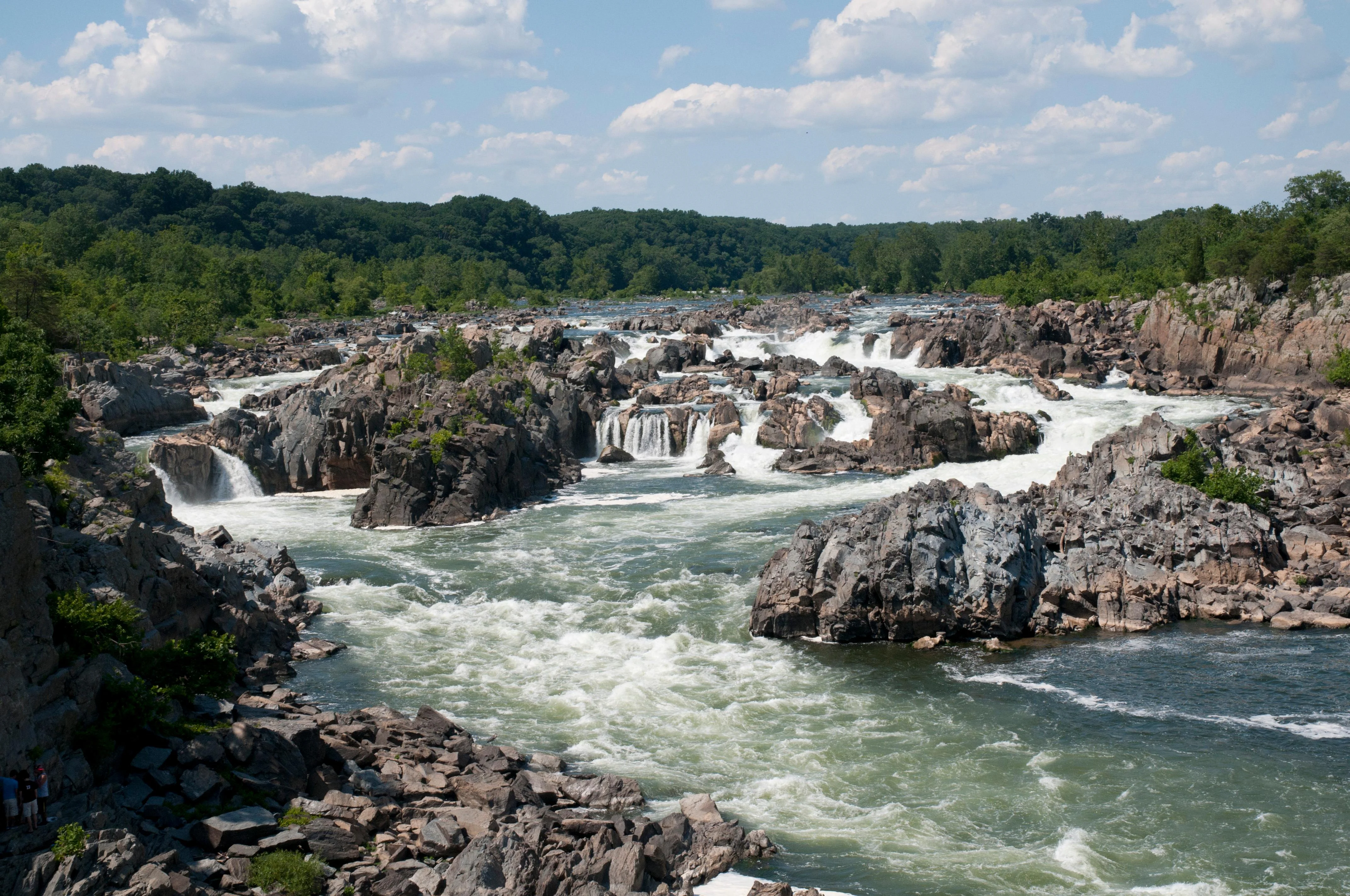
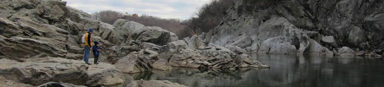
Billy Goat Trail at Great Falls is the closest real hike to the district — 20 minutes from most of Northern Virginia and you’re scrambling over river boulders above the Potomac. Section A is the one everyone talks about: 1.7 miles of rock scrambling along cliff edges with river views. It’s rocky, it’s fun, and it’s over in a couple hours. Sections B and C are easier alternatives if Section A sounds intimidating.
Pro tip: Go early on weekends — the Great Falls parking lot ($20/vehicle) fills by 10 AM in any decent weather. The Maryland side (Great Falls Tavern) has a different perspective and different trails if the Virginia side is full.
Sugarloaf Mountain in Montgomery County is the odd one out — a monadnock rising from the Piedmont with loop trails and views in every direction. Multiple trail options from 2 to 7 miles. Free admission, 45-minute drive. The summit has a picnic area with views over rolling farmland. This is the go-to for a quick escape that doesn’t require Beltway-to-mountain commitment.
Riverbend Park to Great Falls offers a quieter alternative to the main Great Falls entrance. The Potomac Heritage Trail from Riverbend runs along the river through forest with cliff views and less-maintained terrain. About 5 miles round trip. Free parking at Riverbend. Good for trail runners and people who want the river without the crowds.
What’s the Best Overlook Hike Within 90 Minutes of DC?
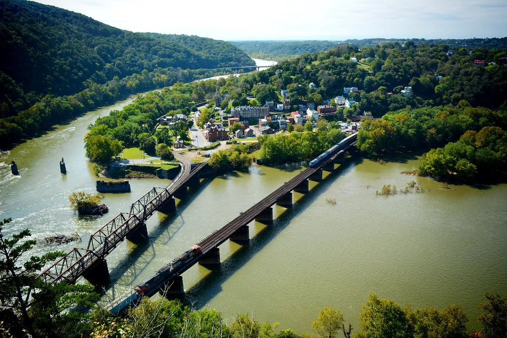
Maryland Heights at Harpers Ferry is the overlook hike — the one that gives you the iconic view of the Potomac and Shenandoah rivers merging below the town. You’ve seen this view in every NPS brochure. The 4-mile round trip gains about 1,400 feet on a steep, rocky trail. The payoff is one of the most photographed viewpoints on the East Coast.
An hour from DC. Free (NPS site). The trail is steep enough that casual visitors turn back, which thins the crowd at the overlook. Go on a fall weekday morning for the best combination of color and solitude.
Catoctin Mountain Park near Thurmont has Chimney Rock and Wolf Rock — two rock formations reached by moderate trails through dense forest. It’s presidential-retreat territory (Camp David is in the park, closed to the public) and the trails have a maintained, national-park quality. About 75 minutes from DC. Chimney Rock is the shorter option (3.3 miles); Wolf Rock adds another mile with a massive boulder field.
Annapolis Rock on the AT is about 90 minutes via I-70. A 5.4-mile round trip puts you on a broad rock outcrop looking west over the Greenbrier Valley. The AT through here is classic mid-Atlantic ridge walking — rocky, rooty, and rewarding. One of the best sunset spots within day-trip range of DC. Backpackers use the nearby campsite for overnights.
Bears Den on the AT near Bluemont is a 50-minute drive on Route 7 and gives you a Blue Ridge overlook that feels much further from the city than it is. Short hike (1.2 miles to the overlook from Bears Den parking), big payoff. The Bears Den hostel and lodge are open for food on weekends.
Is Old Rag Mountain Worth the Two-Hour Drive From DC?
Yes, without question. Old Rag Mountain is the best hike in Virginia. The 9.8-mile circuit with its mile-long granite boulder scramble is genuinely unlike anything else on the East Coast. You’re using your hands, squeezing through crevices, and solving route-finding puzzles through a granite maze. The 360-degree summit views of the Blue Ridge are the reward.
The details: 9.8 miles, 2,800 ft gain, hard. Day-use ticket required weekends and holidays from recreation.gov. Fall weekends sell out weeks ahead. Budget 6-8 hours.
Pro tip: Start by 7 AM on weekends or you’ll hit 20-minute bottlenecks in the scramble section. The fire road descent is 4+ miles of monotonous gravel — trekking poles save your knees. Only 37 miles from Charlottesville if you want to combine with other Shenandoah hikes.
Buzzard Rock in the George Washington National Forest is a quicker alternative if Old Rag permits are sold out. A punchy ridgeline hike with views down the Shenandoah Valley. Shorter, less crowded, and no permit needed. About 90 minutes from DC.
What Are the Best Waterfall Hikes Near DC?
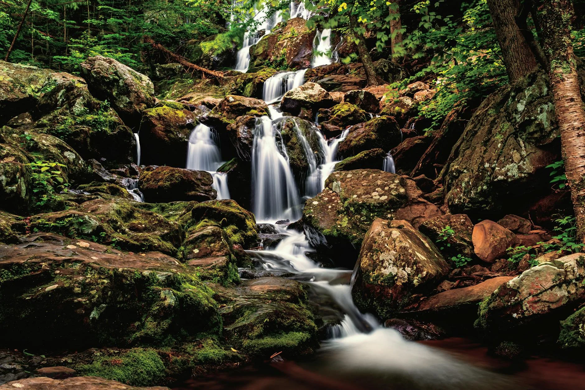
Whiteoak Canyon in Shenandoah has six waterfalls in 4.6 miles, with the tallest at 86 feet. It’s the best waterfall concentration in the park. Pair it with Cedar Run for an 8.3-mile loop that’s one of the classic Shenandoah day hikes — waterfalls, swimming holes, and rock slides. Spring is the season. About two hours from DC via I-66 to Skyline Drive.
Dark Hollow Falls is the quickest waterfall in Shenandoah — 70-foot cascade only 0.7 miles from Skyline Drive at mile 50.7. The catch: that 0.7 miles drops 440 feet, so the climb back is steep. Best in spring or after heavy rain. Under two hours from DC.
Cunningham Falls in Cunningham Falls State Park near Thurmont is the tallest cascading waterfall in Maryland at 78 feet. Only 0.5 miles from the parking lot on an easy trail. Pair it with Catoctin Mountain Park trails (they’re adjacent) for a full day. About 75 minutes from DC. $5 state park fee.
South River Falls in Shenandoah is the third-tallest waterfall in the park at 83 feet. A 3.3-mile loop with an optional spur to the base. Less crowded than Dark Hollow or Whiteoak and just as pretty.
How Do the Top Trails Near DC Compare?
| Trail | Miles | Difficulty | Drive Time | Best For |
|---|---|---|---|---|
| Billy Goat Trail (A) | 1.7 | Moderate-Hard | 20 min | River scramble, closest |
| Bears Den (AT) | 1.2 | Easy | 50 min | Quick Blue Ridge overlook |
| Sugarloaf Mountain | 2-7 | Easy-Moderate | 45 min | Multiple loop options |
| Chimney Rock (Catoctin) | 3.3 | Moderate | 75 min | Rock formations in forest |
| Maryland Heights | 4.0 | Hard | 60 min | Iconic river overlook |
| Whiteoak Canyon | 4.6 | Moderate-Hard | 2 hrs | 6 waterfalls |
| Annapolis Rock (AT) | 5.4 | Moderate | 90 min | Ridge overlook + sunset |
| Cedar Run-Whiteoak | 8.3 | Hard | 2 hrs | Waterfalls + swimming |
| Old Rag Mountain | 9.8 | Hard | 2 hrs | Best hike in Virginia |
If you only do one: Old Rag Mountain. Nothing else in the mid-Atlantic compares.
If you want the closest real hike: Billy Goat Trail. Twenty minutes and you’re on boulders above the Potomac.
If heights aren’t your thing: Whiteoak Canyon for waterfalls or Sugarloaf Mountain for easy views.
If you want the best view for the least effort: Bears Den on a clear day, or Maryland Heights if you’re willing to earn it.
If you want solitude: Buzzard Rock. Or Annapolis Rock on a fall weekday morning.
What Should I Know Before Hiking Near DC?
Old Rag requires a ticket. Day-use permit from recreation.gov on weekends and federal holidays year-round. Book ahead — fall weekends sell out weeks in advance. Weekdays are walk-up.
Great Falls has a $20 vehicle fee. Both the Virginia and Maryland sides. America the Beautiful pass covers it. The Virginia side has better scrambling (Billy Goat Trail). The Maryland side has better views of the falls themselves.
Shenandoah entrance is $35. Covers everything inside the park for 7 days. Annual pass ($80) pays for itself in three visits. No dogs allowed on any SNP trail except fire roads.
Traffic changes everything. A “90-minute drive” on Saturday morning becomes a 2.5-hour crawl on Sunday afternoon. Go early, come back early. The I-66 corridor to Shenandoah and the I-270 corridor to Catoctin are the worst offenders.
The AT is accessible from multiple points. Bears Den, Annapolis Rock, and Maryland Heights are all Appalachian Trail sections reachable as day hikes. The trail quality on these sections is excellent. Pair them with the Charlottesville trails or short PA hikes for a weekend trip.
And when you’re ready to range further than day-trip distance, the best hikes on the East Coast list maps the trips worth a full weekend.


Frequently Asked Questions
What is the best hike near Washington DC?
Old Rag Mountain in Shenandoah National Park is the best overall hike near DC. The granite scramble section and 360-degree summit views make it the most rewarding day hike within two hours of the Beltway. A timed entry permit from recreation.gov is required.
What are easy hikes near DC?
Sugarloaf Mountain in Montgomery County is the best easy hike near DC — a 45-minute drive with loop trails and views in every direction. Billy Goat Trail Section C at Great Falls is another good option for a less technical but scenic riverside hike.
How far is Shenandoah National Park from DC?
Shenandoah National Park is about 75 miles west of DC, roughly a 1.5 to 2 hour drive depending on which entrance you use. The Front Royal entrance (north) is closest, while Thornton Gap provides the quickest access to popular trails like Old Rag and Whiteoak Canyon.