Maryland's Allegheny Highlands sit in the far western part of the state, wedged between West Virginia and Pennsylvania, and most DC-area residents drive right through on I-68 without stopping. Backbone Mountain, the state's high point at 3,360 feet in Garrett County, offers a forested summit experience with a straightforward approach, and the surrounding Garrett County trail system extends into Monongahela National Forest territory.
Backbone Mountain is the primary draw in western Maryland. The summit trail is short and the approach unremarkable, but the high point marker and the surrounding spruce forest have the genuine character of the Appalachian highlands. Deep Creek Lake is 30 minutes away, a reasonable combination for a western Maryland weekend.
The High Rock Fire Tower on South Savage Mountain, just over the Pennsylvania line, is best accessed from the Maryland side. Short, rewarding, with ridge views over the Allegheny front that give context for how the highlands sit in the landscape.
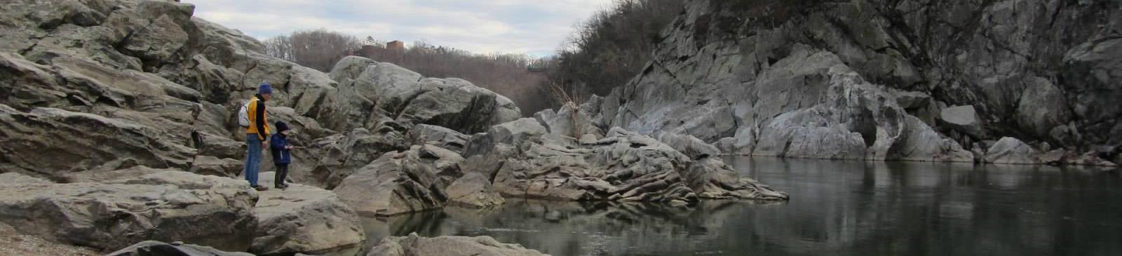
Maryland's hiking close to DC. Catoctin Mountain Park, South Mountain, the C&O Canal towpath) is outside this collection's scope but worth knowing. For day trips from Northern Virginia or DC, Catoctin (1.5 hours), Gambrill State Park, and the Billy Goat Trail at Great Falls are the go-to options before venturing further west.
Best Time to Hike in Maryland
October for western Maryland ridge color. The Allegheny highlands peak slightly earlier than the eastern Appalachians. Late September through mid-October is the window. Spring (May) is good for wildflowers and clear views before leaf-out. Summer in Garrett County is cooler than the DC metro, making it a good escape from city heat.
Frequently Asked Questions
What is Maryland's highest point? Backbone Mountain at 3,360 feet in Garrett County, near the West Virginia border.
Is there good hiking near Deep Creek Lake? Swallow Falls State Park has excellent waterfall hiking. Backbone Mountain and Hoyes Run are close by. The area is better than its reputation.
How far is western Maryland from DC? About 3 hours via I-68. Garrett County is a legitimate mountain destination, not just a drive-through.