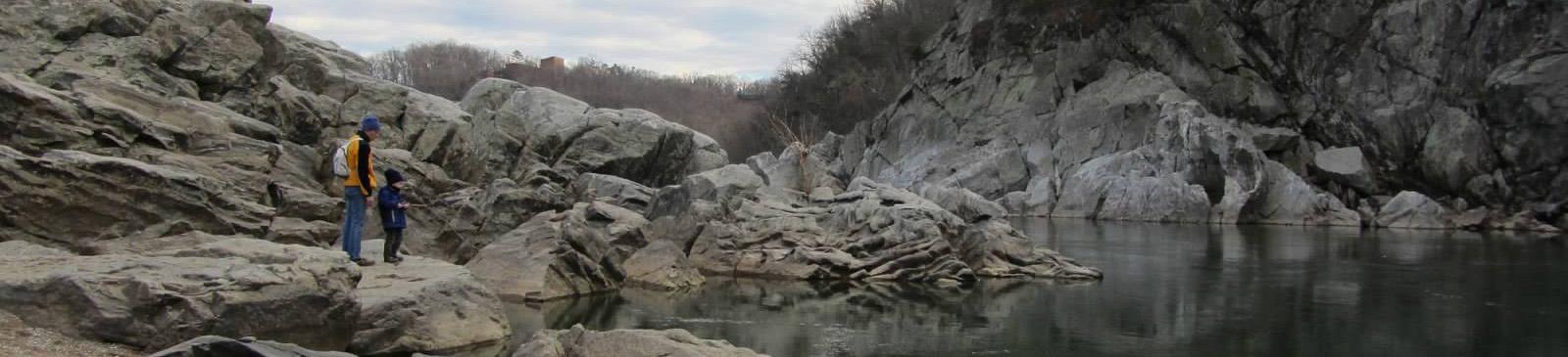
Backbone Mountain — Maryland’s High Point
Photo: Famartin
(CC via Wikimedia)
 LOWA Renegade EVO GTX MidGORE-TEX, 3 widths, resolableCheck price on Amazon →
 Hydro Flask Wide Mouth 32ozinsulated, durableCheck price on Amazon →
 Osprey Talon 22ventilated back, pole carryCheck price on Amazon →
 Adventure Medical Kits Ultralight Watertight .7day-hike specific, waterproofCheck price on Amazon →
 Black Diamond Spot 400-Rrechargeable, comfortableCheck price on Amazon →
Backbone Mountain is home to Hoye Crest, Maryland’s highest point at 3,360 feet. The summit straddles the state line — literally. Half of the mountain belongs to West Virginia, making this one of the more geographically interesting high point hikes on the East Coast. If you’re checking off state high points or just want a quick Appalachian summit, the Maryland High Point Trail delivers.
The Maryland High Point Trail to Hoye Crest is straightforward — a one-mile climb through mixed hardwoods that gains 686 feet to the summit. The path starts right off Hoye Crest Road and gets marked with spray paint blazes on trees. I had no trouble following the route, though the blazes aren’t as frequent as typical trail markers. You’ll mostly be hiking through dense forest with little in the way of views until you reach the top.
The summit itself feels more like a cleared camping area than a dramatic mountain peak. You’ll find a few weathered picnic tables, some benches, and a trail register to sign. The vista opens to the east, though it’s gotten pretty overgrown in recent years and could use some serious trimming. What you can see is interesting enough — the Mount Storm power plant with its smoking stacks dominates the middle distance, reminding you that wilderness and industry coexist in these Appalachian ridges.
The coolest part is standing on the actual border. There’s something satisfying about being on Maryland’s highest ground while having one foot in West Virginia. It’s not dramatic like some state high points, but it has that quiet appeal of being a geographic milestone that few people bother to visit.
This trail punches above its short distance. That 686-foot gain over just one mile means you’re climbing pretty consistently — not brutal, but steady enough that you’ll feel it in your legs. The footing is generally good with typical forest floor conditions, though it can get muddy after rain. I’d call this moderate effort for minimal distance, perfect if you want a quick workout without committing to an all-day hike.
Fall brings the obvious appeal of changing leaves, and at over 3,000 feet, you’ll get good color even if the valleys haven’t turned yet. Winter can be surprisingly beautiful if you don’t mind potentially icy conditions on the climb. Spring means mud season, as with most trails in this region. I hit it on a weekday and had the entire mountain to myself — this isn’t exactly a crowded destination even on weekends, but weekdays virtually guarantee solitude.
Parking is along Hoye Crest Road, and there’s not much space — maybe room for four or five cars on the shoulder. The road gets decent traffic, so park as far off as possible. No facilities at the trailhead, and cell service is spotty to nonexistent. Bring water since there are no reliable sources along the trail. The nearest town with amenities is probably Oakland, about 20 minutes away. From the DC area, you’re looking at a solid three-hour drive west, so this makes sense as part of a longer trip to explore West Virginia’s high country rather than a standalone day hike.
LOWA Renegade EVO GTX MidGORE-TEX, 3 widths, resolableCheck price on Amazon →Hydro Flask Wide Mouth 32ozinsulated, durableCheck price on Amazon →Osprey Talon 22ventilated back, pole carryCheck price on Amazon →Adventure Medical Kits Ultralight Watertight .7day-hike specific, waterproofCheck price on Amazon →Black Diamond Spot 400-Rrechargeable, comfortableCheck price on Amazon → Patagonia Torrentshell 3L Jacketdurable, trail + everydayCheck price on Amazon →
 Darn Tough Hiker Micro Crew Midweightlifetime warrantyCheck price on Amazon →
 Black Diamond Pursuit Trekking Polescork grip, lightweightCheck price on Amazon →
 Sawyer Squeeze Water Filterultralight, standard threadsCheck price on Amazon →