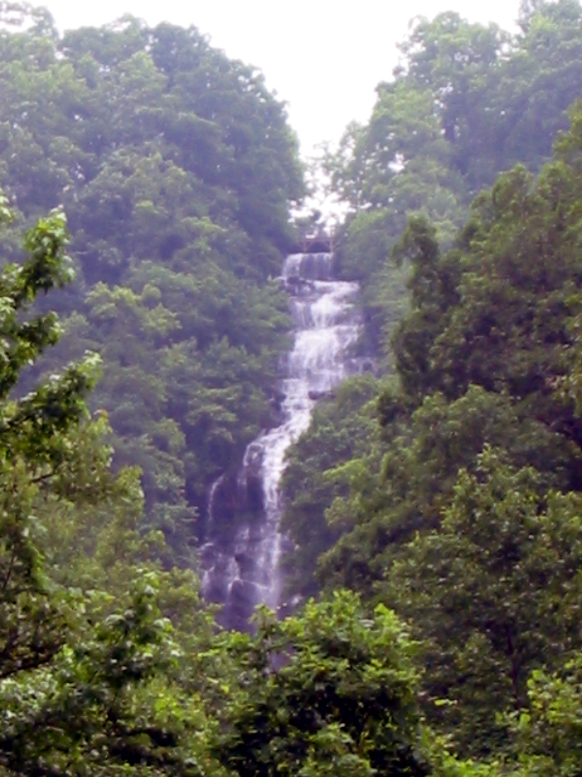
Georgia is where the Appalachian Trail begins at Springer Mountain in the Blue Ridge foothills, 2,190 miles from the northern terminus on Katahdin in Maine. The terrain here is the southernmost expression of the Appalachians: lower and lusher than the ranges further north, with dense hardwood forest, a long growing season that makes the undergrowth genuinely thick by midsummer, and a trail character that feels welcoming relative to the austere White Mountains.
The Blue Mountain Loop in the Chattahoochee National Forest is the main trail in this collection. A 5.46-mile circuit with 1,257 feet of gain through the northern Georgia highlands. It's a representative sample of what southern Blue Ridge hiking looks like: good trail, hardwood forest transitioning to pine at elevation, and ridge views that open up just enough to make the climb worthwhile.
Springer Mountain itself — the AT's southern terminus — is a meaningful destination for anyone thinking about the longer trail. The bronze plaque at the summit marks mile zero. The standard approach via the AT from Amicalola Falls adds 8+ miles each way; the shorter forest road approach is feasible for a focused day trip.
Georgia's hiking season extends well into the shoulder months compared to New England. The AT through Georgia is typically accessible from March through November without snow issues, making it a good early-season destination when New Hampshire and Vermont are still dealing with mud season.
Best Time to Hike in Georgia
March through May for spring wildflowers and the start of AT thru-hiker season. The trail has a distinctive energy in early spring as northbound hikers begin their journeys. October for fall color, which arrives later than New England (typically late October into early November at lower Georgia elevations). Summer is hot and humid in the valleys; ridges are more tolerable.
Frequently Asked Questions
Where does the Appalachian Trail start in Georgia? Springer Mountain in Dawson County, accessible via the Benton MacKaye Trail from Amicalola Falls State Park or by forest road from Three Forks.
Is Georgia good for hiking? For spring and fall specifically, yes. The Cohutta Wilderness and Chattahoochee National Forest have extensive trail systems beyond the AT corridor.
What is the best hike in Georgia? The AT approach to Springer Mountain for historical significance. Blood Mountain on the AT near Vogel State Park for the most accessible high-point experience in the Georgia highlands.