LOWA Renegade EVO GTX MidGORE-TEX, 3 widths, resolableCheck price on Amazon →
 Hydro Flask Wide Mouth 32ozinsulated, durableCheck price on Amazon →
 Osprey Talon 22ventilated back, pole carryCheck price on Amazon →
 Adventure Medical Kits Ultralight Watertight .7day-hike specific, waterproofCheck price on Amazon →
 Black Diamond Spot 400-Rrechargeable, comfortableCheck price on Amazon →
👥 Not Crowded
🌄 Great Views
🐻 Bears Present
What to Expect on the Trail
Fort Mountain State Park covers over 3,700 acres in Murray County, Georgia, on a ridge in the Cohutta Mountains. The park has two distinct hiking experiences: the short Stone Wall Trail and the substantial Gahuti Backcountry Trail. Most day visitors do the Stone Wall Trail. Hikers come for the Gahuti.
The Stone Wall Trail is a 1.2-mile loop that passes the park’s archaeological centerpiece — an 885-foot-long stone wall built along the summit ridge by unknown builders, centuries before European contact. Nobody knows who built it or why. Cherokee legend attributes it to a moon-eyed people who lived in the mountains before the Cherokee arrived. Archaeologists have not reached consensus on its origin, age, or purpose. The wall is low, waist-high at most, and follows the contour of the ridge in a way that feels more ceremonial than defensive. A fire tower near the wall provides views into the Cohutta Wilderness.
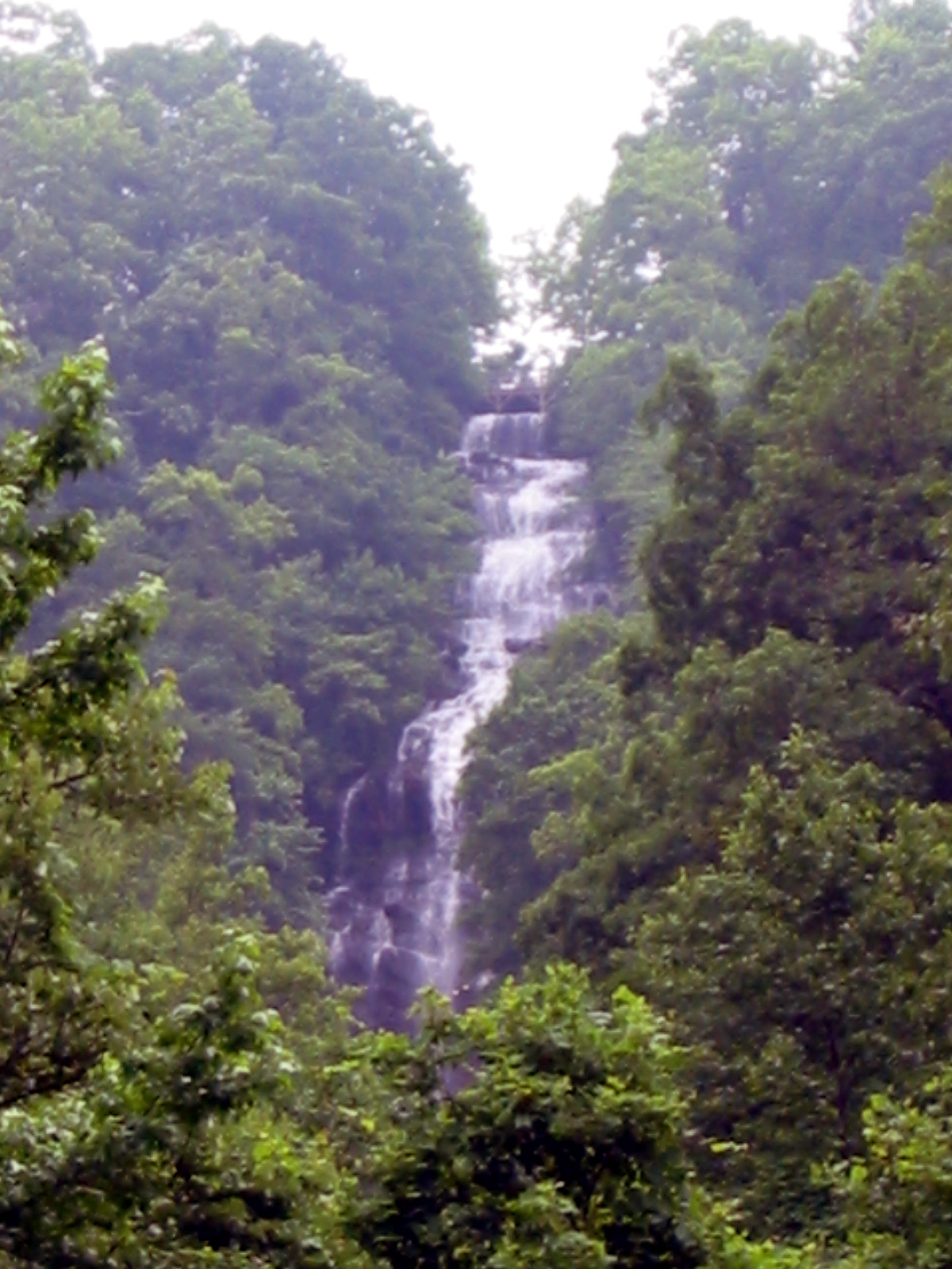
The Gahuti Backcountry Trail is the real hike. The 8.2-mile loop circles Fort Mountain through hardwood forest, past streams and creeks, along ridgelines with filtered views, and through the kind of varied terrain that keeps every mile interesting. Hikers consistently praise the trail variety: “A lot of variety — streams, ridges, a bit of a waterfall, several beautiful overlooks,” one reviewer summarized. The trail passes the Cool Springs Overlook, which provides a wide panorama of the Blue Ridge that many hikers describe as the highlight of the loop.
The trail is well-marked and well-maintained — hikers regularly comment on the clean, clear blazing. One reviewer who hiked it after severe storms hit the Ellijay area noted that “to my surprise this trail was still one of the cleanest trails I hiked in Georgia.” The backcountry campsites along the route have fire rings and bear boxes (large job-site toolboxes for food storage), making the Gahuti a solid overnight backpacking option.
How Hard Is This Trail, Really?
Challenging. Do not let the 8.2-mile distance or the “moderate” rating fool you. Hikers are emphatic about this. “Do not underestimate this hike,” one reviewer warns. “This is not a casual walk in the woods, this is quite a strenuous hike.” The trail has sustained elevation changes — a lot of ups and downs across the ridgeline — and the final mile is where the difficulty concentrates. One hiker described it bluntly: “that last mile dam near killed me.” A third of the total elevation gain is packed into that final stretch.
Going clockwise is the consensus recommendation. This front-loads the easier sections and saves the hardest climbing for the end when you know the finish is close. Multiple hikers specifically advise saving energy and water for the final mile. “Make sure you save energy and water for the last mile as a third of your elevation will be in that last mile,” one experienced hiker warns.
Give yourself more time than you think. Reviewers who expected a casual 3 to 4 hour loop regularly report 5 to 6 hours. One group that started at noon “thinking we could do it in a few hours” found themselves pushing to finish before dark. Budget 4 to 6 hours for the full loop depending on fitness and pace. The trail rewards a slower pace — the overlooks, streams, and forest diversity deserve attention rather than a rush.
The trail works well as a 2-day backpacking trip. Multiple hikers describe positive overnight experiences at the backcountry campsites, which are in good condition with creek access for water (bring a filter). For newcomers to backpacking, the Gahuti is an excellent starter trail — challenging enough to be a real experience, maintained well enough to be forgiving.
Best Time to Go
Fall and spring are the best seasons. Fall brings color to the hardwood canopy — the Cohutta Mountains are a solid foliage destination that draws less competition than the Smokies or the Blue Ridge Parkway. The cooler temperatures make the steep sections more comfortable. Spring offers wildflowers and creek crossings at their fullest flow after winter rains.
Winter provides a completely different experience. As one reviewer noted: “Entirely different trail in the winter, view wise anyway. Back in the season, the foliage on this trail was so thick in places that it felt like a jungle.” The bare canopy opens views that the summer foliage hides.
Summer is hot and humid. The elevation provides some relief, but the sustained climbing on the Gahuti generates serious sweat in July and August. Start early and carry at least 2 liters of water. Bug spray is recommended — 5 reviews mention bugs, and the creek crossings create mosquito habitat.
Before You Go
Fort Mountain State Park is on GA-52 between Chatsworth and Ellijay. From Atlanta, the drive is about 1.5 hours via I-75 north to US-411. The park has a campground, lake with swimming beach, picnic areas, and mountain bike trails. The Cool Springs Overlook on the park road gives you a Blue Ridge panorama without any hiking. Entrance fee applies (Georgia State Parks annual pass or day-use fee).
Bears are a real presence here. Bear sightings are frequent — roughly one in four hikers on this trail reports seeing a bear. Most encounters are brief: “Saw a black bear and her cub cross the trail, they scooted when they saw us.” But the frequency means you should carry food in bear-safe containers for overnight trips (the backcountry campsites have bear boxes), make noise on the trail, and know what to do if you encounter one. This is not a theoretical warning. You may see a bear on the Gahuti.
Snakes are present. Copperheads and timber rattlesnakes are present in the Cohutta Mountains. Watch where you step, especially near creek crossings and rock outcrops. Ticks are a concern — check yourself after hiking through the understory sections.
Water sources are available along the trail via creeks, but you need a filter. Water access via creeks is frequent along the trail but untreated — bring a filter. Parking is available at multiple trailheads around the park. The trail is well-blazed and one reviewer noted they “only had to use the app once at a road crossing where the trail shifts a few feet.”
Dogs are allowed on leash. The terrain is manageable for athletic dogs, but the 8.2-mile distance and the steep final mile are demanding. Bring water for your dog.
Word from the Trail
Fort Mountain is the north Georgia park that does everything well without making a fuss about any of it. An ancient stone wall that nobody can explain. A backcountry loop that earns its difficulty rating. Overlooks with views into the Cohutta Wilderness. Bear encounters common enough to be expected rather than extraordinary. Creek crossings, ridgeline walking, and backcountry campsites with bear boxes.
The Gahuti Trail does not get the traffic that Blood Mountain or Amicalola Falls does, which means the solitude is genuine. One reviewer saw only “three people” on the entire 8-mile loop. Another described it simply: “well-marked, well maintained, wooded, scenic, and uncrowded.” For an 8-mile backcountry loop in a state park with bear boxes and creek water, that combination is hard to beat anywhere on the East Coast.
Frequently Asked Questions
LOWA Renegade EVO GTX MidGORE-TEX, 3 widths, resolableCheck price on Amazon →Hydro Flask Wide Mouth 32ozinsulated, durableCheck price on Amazon →Osprey Talon 22ventilated back, pole carryCheck price on Amazon →Adventure Medical Kits Ultralight Watertight .7day-hike specific, waterproofCheck price on Amazon →Black Diamond Spot 400-Rrechargeable, comfortableCheck price on Amazon → Patagonia Torrentshell 3L Jacketdurable, trail + everydayCheck price on Amazon →
 Darn Tough Hiker Micro Crew Midweightlifetime warrantyCheck price on Amazon →
 Black Diamond Pursuit Trekking Polescork grip, lightweightCheck price on Amazon →
 Sawyer Squeeze Water Filterultralight, standard threadsCheck price on Amazon →