LOWA Renegade EVO GTX MidGORE-TEX, 3 widths, resolableCheck price on Amazon →
 Hydro Flask Wide Mouth 32ozinsulated, durableCheck price on Amazon →
 Osprey Talon 22ventilated back, pole carryCheck price on Amazon →
 Adventure Medical Kits Ultralight Watertight .7day-hike specific, waterproofCheck price on Amazon →
 Black Diamond Spot 400-Rrechargeable, comfortableCheck price on Amazon →
Cloudland Canyon at a glance: A roughly 7-mile combination of the West Rim Loop and the Waterfalls Trail, with two cascades, 1,000-foot canyon overlooks, and the most dramatic sandstone landscape in Georgia. Two hours from Atlanta, well-maintained, and the rare Georgia state park where the views compete with anything in north Alabama or eastern Tennessee.
Cloudland Canyon does not feel like Georgia. Sandstone walls a thousand feet tall, two waterfalls pouring off layered rock ledges, and rim overlooks that look out over a green gorge running five miles long. The drive from Atlanta is two hours each way; the trail justifies the trip on its own.
What to Expect on the Trail
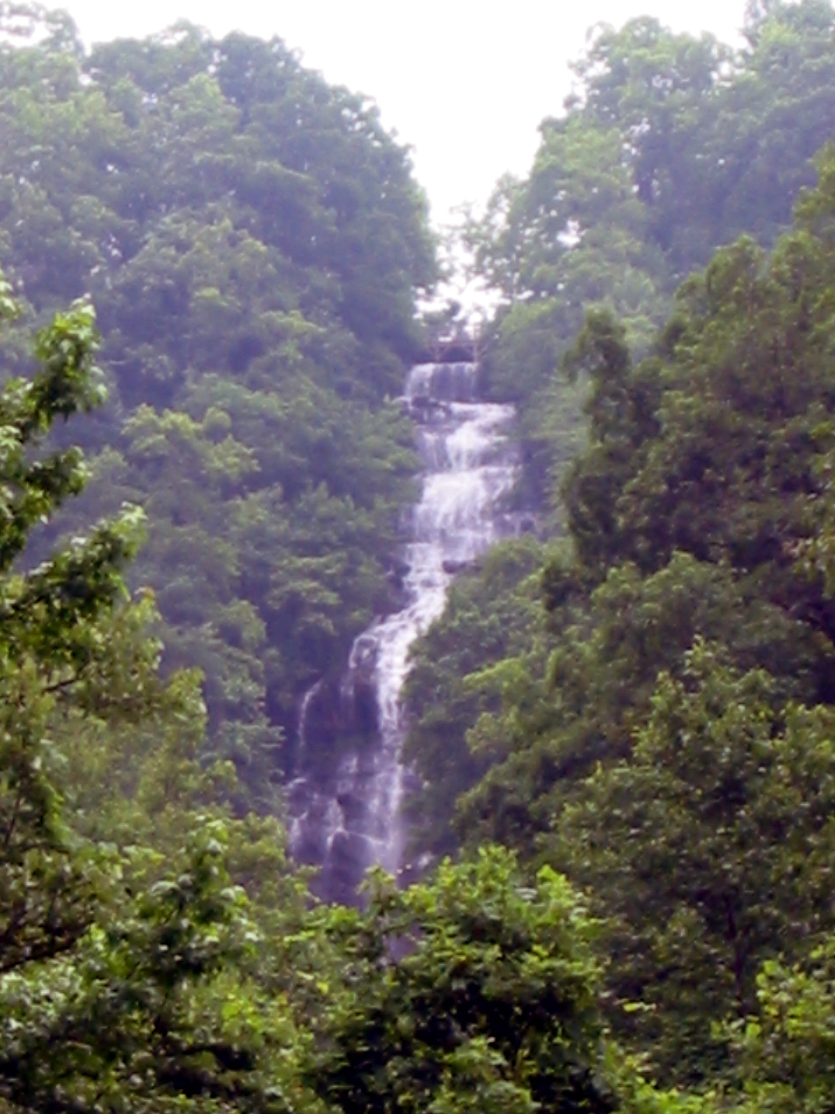
The standard route combines two trail systems into a roughly 7-mile day. The Waterfalls Trail starts at the main day-use area, then descends over 600 wooden and metal stairs into the canyon. The first cascade, Cherokee Falls, sits about halfway down: a 60-foot drop over a sandstone shelf into a clear pool. The second cascade, Hemlock Falls, is the larger of the two at about 90 feet, reached after another long staircase. The round trip on just the falls is two miles, but most hikers report the stair count making it feel longer.
The West Rim Loop is the headline trail and runs about 5 miles around the canyon rim, with multiple named overlooks pointing into Sitton Gulch and the canyon system. The trail surface is rocks and roots, well-maintained but technical enough that trekking poles and decent hiking shoes help. Hikers consistently describe the rim views as the standout: sandstone bluffs in layered orange, gray, and white, with the green canopy dropping away into the gorge.
For more distance and far fewer people, the Sitton Gulch Trail follows the creek along the canyon floor for about 7 miles, connecting the day-use area to the park’s lower trailhead near Trenton. The trail is shaded, gentler than the rim, and accesses the bottoms of both waterfalls from below. Hikers chasing solitude consistently choose Sitton Gulch over the rim crowd. Backpackers can make a one-night loop by descending the Waterfalls Trail, walking the canyon floor to the walk-in campsites near Sitton Gulch, then returning via the West Rim on day two.
How Hard Is This Trail, Really?
Moderate is the right rating for the West Rim Loop, with the 600-stair descent and return on the Waterfalls Trail being the difficulty multiplier. The rim itself has minimal sustained climbing. Most of the elevation change happens on the stairs into the canyon. Hikers consistently describe the steps as the workout, especially in summer heat, with an aerobic load that catches people off guard given the modest elevation profile.
Most fit hikers complete the West Rim Loop in about 2.5 hours and the Waterfalls Trail in 1 to 1.5 hours, including time at the cascades. The full combination runs 4 to 5 hours with photo stops. Trail surface is the second consideration: roots and rocks across the rim mean ankle support matters, and the trail is harder than the elevation profile suggests in wet weather. Counterclockwise on the West Rim is the common recommendation, since it puts the steeper uphill stretches early in the loop and saves the rim overlooks for the descent.
Best Time to Go
Spring delivers the waterfalls at their best. Heavy March and April flow turns Cherokee and Hemlock Falls into the dramatic cascades they’re known for, and the canyon walls run wet with seeps in places. The trade-off is mud on the rim trail and growing bug pressure on the canyon floor by late May.
Fall is the cleaner option, with mid-October the standout window. The hardwoods turning over the green canopy give the rim overlooks a different character entirely, the bug season is over, and the trail surface dries out. Summer brings high humidity and full heat in the canyon, where the airflow stops below the rim; aim for early starts or save it for fall. Winter is the quiet season, with cold but clear conditions and the canyon walls showing layered color clearly through the leafless canopy.
Before You Go
Georgia state park entry fee applies; the daily ParkPass works, or the annual pass covers the season. The main parking lot is large, paved, and rarely full midweek. Weekend mornings during peak fall can fill the day-use area, and overflow parking is sometimes redirected to the Sitton Gulch lot near Trenton. Cell service is patchy in the canyon and along the lower trails.
The park has more than the day-use options. Pioneer campsites, walk-in tent camping, RV sites, cottages, and the park’s signature yurts all sit on the rim, which makes Cloudland Canyon one of the few Southern state parks where an overnight from the rim is easy to set up. Bathrooms are at the main parking lot, the visitor center, and the trail head; there are no facilities in the canyon below. Pack water; the Hemlock and Cherokee creeks pour into the canyon system, not into anything drinking-water safe.
Word from the Trail
Cloudland Canyon is the Georgia hike that consistently surprises out-of-state visitors. Hikers consistently describe the rim views and the waterfall trail in the same sentence as Tennessee or Alabama destinations rather than Georgia. The elevation change and the sandstone geology look more like the Cumberland Plateau than the Piedmont most visitors expect from the state. The trail combination of rim loop and waterfall descent is the sweet spot, with enough variety to fill a day, real elevation work, and a payoff that justifies the drive from anywhere in the Southeast.
The campground network is the underrated angle. The yurts in particular are the rare cabin-camping option that books months in advance for fall weekends, and the rim-side setting puts the overlooks within a five-minute walk of the door. For hikers willing to drive from farther afield, the Chattanooga proximity (about 30 minutes north) opens up a weekend that combines Cloudland Canyon with the Tennessee River Gorge trails or with Lookout Mountain‘s eastern face. The park’s location at the corner of three states, with Alabama 10 minutes south and Tennessee 30 minutes north, makes it a logical anchor for a longer Southern hiking trip.
Frequently Asked Questions
How long is the Cloudland Canyon hike?
How many stairs to Hemlock Falls at Cloudland Canyon?
Is Cloudland Canyon dog-friendly?
Can you camp at Cloudland Canyon?
When is the best time to visit Cloudland Canyon?
LOWA Renegade EVO GTX MidGORE-TEX, 3 widths, resolableCheck price on Amazon →Hydro Flask Wide Mouth 32ozinsulated, durableCheck price on Amazon →Osprey Talon 22ventilated back, pole carryCheck price on Amazon →Adventure Medical Kits Ultralight Watertight .7day-hike specific, waterproofCheck price on Amazon →Black Diamond Spot 400-Rrechargeable, comfortableCheck price on Amazon → Patagonia Torrentshell 3L Jacketdurable, trail + everydayCheck price on Amazon →
 Darn Tough Hiker Micro Crew Midweightlifetime warrantyCheck price on Amazon →
 Black Diamond Pursuit Trekking Polescork grip, lightweightCheck price on Amazon →
 Sawyer Squeeze Water Filterultralight, standard threadsCheck price on Amazon →