 LOWA Renegade EVO GTX MidGORE-TEX, 3 widths, resolableCheck price on Amazon →
 Hydro Flask Wide Mouth 32ozinsulated, durableCheck price on Amazon →
 Osprey Talon 22ventilated back, pole carryCheck price on Amazon →
 Adventure Medical Kits Ultralight Watertight .7day-hike specific, waterproofCheck price on Amazon →
 Black Diamond Spot 400-Rrechargeable, comfortableCheck price on Amazon →
Amicalola Falls at a glance: A short but steep climb alongside the tallest cascading waterfall in the Southeast, a 729-foot series of drops near Dawsonville. The distance is small, but a staircase of more than 600 steps makes it a genuine strenuous workout. There is a state park entrance fee, dogs are welcome on leash, and the falls also mark the approach to the Appalachian Trail, so the trailhead buzzes with hikers year-round.
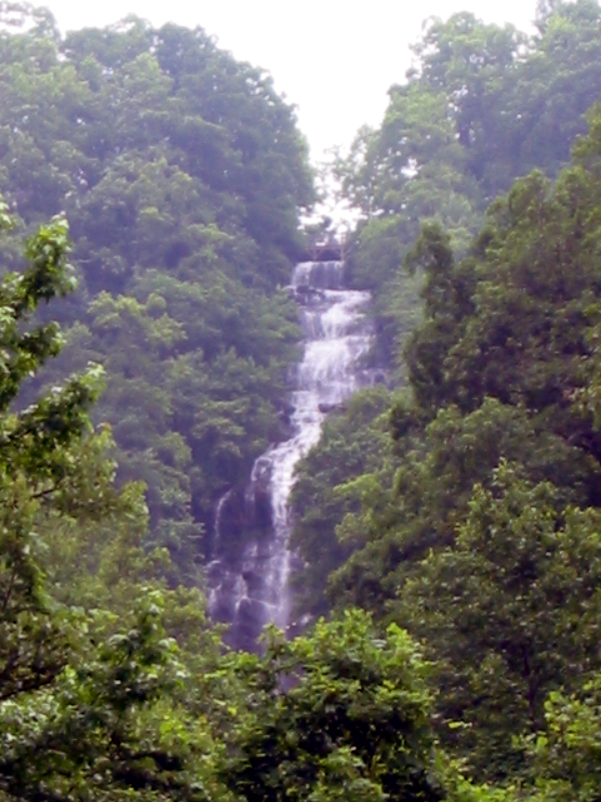
Amicalola Falls is the tallest cascading waterfall in the Southeast, tumbling 729 feet in a series of dramatic drops through a state park near Dawsonville. The trail to see it is short in distance but famously demanding, climbing alongside the cascade on a long staircase that delivers close-up views of the rushing water. It is a marquee Georgia destination, popular with families, waterfall seekers, and Appalachian Trail hikers alike, and its strong reviews reflect both the spectacle of the falls and the surprise of just how much of a workout the climb is.
The heart of the experience is the staircase that climbs beside the falls. More than 600 metal steps switchback up the cascade, with landings and a bridge that cross in front of the falling water for spectacular, spray-close views. Reaching the top rewards you with a view out over the North Georgia foothills, and the sense of having climbed right alongside one of the region’s great waterfalls.
There are gentler ways to see the falls as well. A short walk leads to a reflection pool at the base for a view from below, and a road and upper parking area let visitors reach the top overlook without the full staircase, which makes the falls accessible to a range of abilities. The classic experience, though, is climbing the stairs from bottom to top and taking in the cascade from every landing along the way.
Amicalola Falls State Park is also the gateway to the Appalachian Trail. The famous Approach Trail to Springer Mountain, the AT’s southern terminus, begins at the park, so the trailhead is a hub of activity, especially in the spring thru-hiker season. That connection gives the park a lively, hiker-centered atmosphere beyond the waterfall itself.
The distance is tiny, but the rating is moderate to strenuous, and the reason is entirely the stairs. Climbing more than 600 steps is a genuine cardiovascular effort, and hikers regularly describe being surprised by how tiring the short climb is, especially in summer heat. Most people reach the top in well under an hour, but plenty stop to catch their breath on the landings along the way.
The staircase itself is well built and railed, so the footing is secure, though the steps can be slick when wet and the climb is not suited to anyone who cannot manage a long flight of stairs. For those who want the view without the effort, the upper parking option removes the staircase entirely. The honest read is a short but genuinely strenuous climb whose difficulty is measured in steps rather than miles.
The park is open year-round and the falls are impressive in every season. Spring brings the strongest water flow and the buzz of Appalachian Trail thru-hikers setting off from the park, while fall pairs the cascade with color across the foothills for the most scenic time of year. Summer is popular and green, though the exposed staircase can be hot at midday, so an early start helps.
Winter is quieter and can bring dramatic ice formations to the falls, though the metal stairs can be slick with frost and call for caution. In any season, the falls run strongest after rain and snowmelt, making the cascade most dramatic, so timing a visit after wet weather rewards you with the fullest flow. Weekends draw the biggest crowds, so an early arrival helps with both parking and the stairs.
Amicalola Falls is a state park with an entrance fee and paid parking, so plan for that before you go, and note there are multiple parking areas at different elevations, including lots at the base and near the top. Choosing where to park shapes your visit: the base for the full staircase climb, or the upper area for a shorter walk to the top overlook. Restrooms and a visitor center add to the convenience.
Dogs are welcome on leash, which makes it a workable outing for hikers with pets, though the long staircase is demanding for a dog. Wear supportive shoes for the steps, bring water, especially in summer, and pace yourself on the climb rather than rushing the stairs. Families with young children or anyone with mobility limits should consider the upper parking option to enjoy the falls without the full ascent.
Amicalola Falls sits near Dawsonville in the North Georgia mountains, within easy reach of the Atlanta area, which makes it a hugely popular day trip. Its combination of the tallest cascading waterfall in the Southeast, an accessible upper viewpoint, and its role as the gateway to the Appalachian Trail makes it a rewarding destination for casual visitors and serious hikers alike.
Amicalola Falls earns strong marks from the many people who visit, with the large majority calling the waterfall spectacular and worth the climb, while warning again and again that the staircase is far more of a workout than the short distance suggests. The recurring practical notes are consistent: the stairs are the challenge, an entrance fee applies, and the upper parking option exists for those who want the view without the full climb.
That is the fair summary of the Southeast’s tallest cascading waterfall. It offers a genuinely spectacular cascade with a close-up staircase climb, plus easier options for those who need them, which is exactly why it draws so many visitors. Plan for the fee, pace yourself on the steps, and time a visit after rain for the fullest flow, and Amicalola Falls delivers a big payoff for a short but strenuous effort.
LOWA Renegade EVO GTX MidGORE-TEX, 3 widths, resolableCheck price on Amazon →Hydro Flask Wide Mouth 32ozinsulated, durableCheck price on Amazon →Osprey Talon 22ventilated back, pole carryCheck price on Amazon →Adventure Medical Kits Ultralight Watertight .7day-hike specific, waterproofCheck price on Amazon →Black Diamond Spot 400-Rrechargeable, comfortableCheck price on Amazon → Patagonia Torrentshell 3L Jacketdurable, trail + everydayCheck price on Amazon →
 Darn Tough Hiker Micro Crew Midweightlifetime warrantyCheck price on Amazon →
 Black Diamond Pursuit Trekking Polescork grip, lightweightCheck price on Amazon →
 Sawyer Squeeze Water Filterultralight, standard threadsCheck price on Amazon →


