LOWA Renegade EVO GTX MidGORE-TEX, 3 widths, resolableCheck price on Amazon →
 Hydro Flask Wide Mouth 32ozinsulated, durableCheck price on Amazon →
 Osprey Talon 22ventilated back, pole carryCheck price on Amazon →
 Adventure Medical Kits Ultralight Watertight .7day-hike specific, waterproofCheck price on Amazon →
 Black Diamond Spot 400-Rrechargeable, comfortableCheck price on Amazon →
Raven Cliff Falls at a glance: A 5.1-mile out-and-back near Helen that follows a creek past a string of cascades to a unique waterfall splitting a massive rock cliff. Rated moderate, with gentle grades but many roots and stream crossings, and a short scramble at the end to see the main falls. The trail is a popular backpacking route with creekside campsites, there is a parking fee at the trailhead, and dogs are welcome on leash.
Raven Cliff Falls is among the most distinctive waterfalls in North Georgia, a cascade that pours through a cleft in a towering rock outcrop rather than over a simple ledge. Reaching it means a pleasant walk up Dodd Creek through hemlock and hardwood forest, passing a series of smaller cascades and pools along the way. It is a favorite in the Chattahoochee National Forest for both day hikers and backpackers, and its very high review count reflects how reliably rewarding the creekside walk and its unusual final waterfall are.
The trail follows Dodd Creek closely for its entire length, and the water is the constant companion and the main attraction. For most of the way the grade is gentle, wandering through shady forest past a succession of small waterfalls, cascades, and swimming holes that give hikers plenty of reasons to pause. The footing is the main physical challenge, with exposed roots and several stream crossings that can be tricky when the water is high.
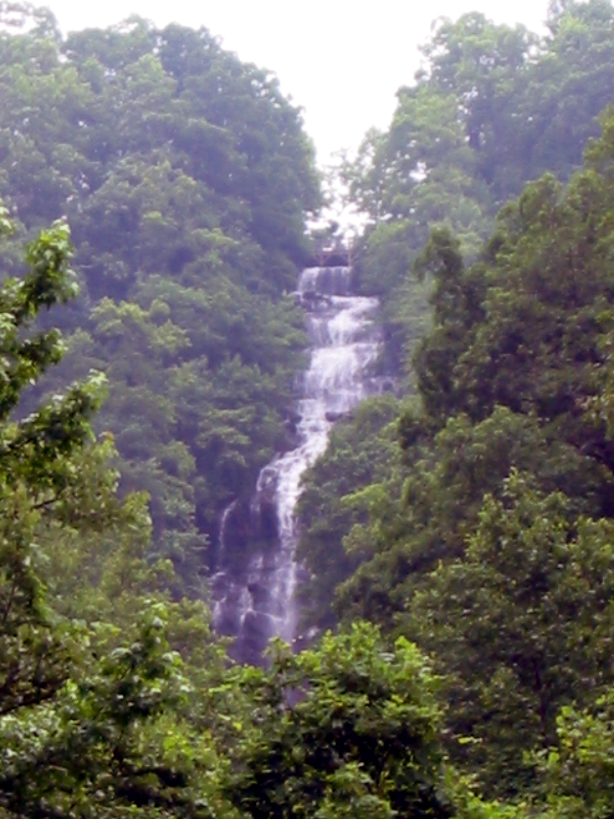
The destination is Raven Cliff Falls itself, where the creek has carved through a huge wall of rock so that the water appears to split the cliff and fall through the gap. It is a genuinely unusual sight, and the payoff for the walk in. The very last stretch to the base and the upper viewpoint involves a short, steeper scramble over rock and roots, which is the most demanding part of an otherwise moderate hike. Signs and railings at the top mark where the maintained trail ends, since the cliffs above the falls are dangerous and strictly off-limits.
Because the trail parallels the creek and passes so many campsites, it is popular with backpackers doing an easy overnight as well as day hikers. That mix, plus the string of cascades, gives the walk a relaxed, social feel on nice weekends, and the many pools make it a favorite for cooling off in warm weather.
Moderate is a fair rating, with the difficulty coming from the length and the footing rather than any big climb. The grade is easy for most of the route, so a reasonably active hiker handles the five-mile round trip comfortably in around three hours, with more time for swimming and photo stops. The rooty trail and the stream crossings are what slow people down and demand attention.
Conditions center on the water. After heavy rain the creek crossings can be deep and slick, and the trail gets muddy, so timing a visit for reasonable water levels makes the day easier and safer. Poison ivy grows along parts of the trail in summer, and the final scramble to the falls calls for care. The honest read is an accessible, rewarding creek hike whose main challenges are wet feet and uneven ground rather than exertion.
The trail is open year-round and rewards visits in every season. Spring brings the strongest water flow and wildflowers along the creek, showing the cascades at their most dramatic. Summer is popular for the shade and the swimming holes, making it a favorite warm-weather escape, though weekends draw crowds. Fall pairs the creek with color in the surrounding forest and generally lower, easier water crossings.
Winter is quieter and can be beautiful, with the option of ice on the cascades, though cold water crossings and occasional slick spots call for care. In any season, the falls and cascades are at their most impressive after rain, but that same water makes the crossings harder, so there is a trade-off between spectacle and ease depending on recent weather.
Parking is at the trailhead in the Chattahoochee National Forest, and there is a parking fee to use the lot, so bring cash or check current payment methods before you go. The lot is medium-sized and fills on nice weekends, so an early arrival helps, and there are restrooms at the trailhead, which is a welcome convenience for a forest hike.
Dogs are welcome on leash and this is a popular hike for them given the creek and the gentle grade, though the stream crossings and final scramble are worth considering with a dog along. Wear shoes you do not mind getting wet, since the crossings are unavoidable, carry water, and watch for poison ivy in the warmer months. Standard Leave No Trace practices matter on this heavily used trail, especially at the popular campsites.
Raven Cliff Falls sits near the alpine-themed town of Helen in North Georgia, within easy reach of the Atlanta area, which makes it a popular weekend destination. Its combination of an easy creekside walk, a chain of cascades, and a genuinely unusual final waterfall makes it a rewarding outing for a wide range of hikers, from families to backpackers.
Raven Cliff Falls earns strong marks from the many people who hike it, with the large majority praising the string of cascades along the creek and the unique split-cliff waterfall at the end. The recurring practical notes are consistent: expect roots and stream crossings, plan for a parking fee, and save the wettest days for when you want maximum water rather than easy footing.
That is the fair summary of this North Georgia favorite. It offers a gentle, scenic creek walk past a whole series of waterfalls, capped by a final cascade unlike any other in the region. Arrive early, wear shoes that can get wet, and time the water to your taste, and Raven Cliff Falls delivers a rewarding half-day hike in the heart of the Chattahoochee National Forest.
LOWA Renegade EVO GTX MidGORE-TEX, 3 widths, resolableCheck price on Amazon →Hydro Flask Wide Mouth 32ozinsulated, durableCheck price on Amazon →Osprey Talon 22ventilated back, pole carryCheck price on Amazon →Adventure Medical Kits Ultralight Watertight .7day-hike specific, waterproofCheck price on Amazon →Black Diamond Spot 400-Rrechargeable, comfortableCheck price on Amazon → Patagonia Torrentshell 3L Jacketdurable, trail + everydayCheck price on Amazon →
 Darn Tough Hiker Micro Crew Midweightlifetime warrantyCheck price on Amazon →
 Black Diamond Pursuit Trekking Polescork grip, lightweightCheck price on Amazon →
 Sawyer Squeeze Water Filterultralight, standard threadsCheck price on Amazon →