LOWA Renegade EVO GTX MidGORE-TEX, 3 widths, resolableCheck price on Amazon →
 Hydro Flask Wide Mouth 32ozinsulated, durableCheck price on Amazon →
 Osprey Talon 22ventilated back, pole carryCheck price on Amazon →
 Adventure Medical Kits Ultralight Watertight .7day-hike specific, waterproofCheck price on Amazon →
 Black Diamond Spot 400-Rrechargeable, comfortableCheck price on Amazon →
Tallulah Gorge at a glance: A 1.9-mile rim loop around one of the deepest gorges in the eastern United States, with overlooks and a suspension bridge swaying 80 feet above the river. Rated moderate for one reason: hundreds of stairs. Descending to the gorge floor requires a free permit issued in limited daily numbers, dogs are not allowed on the trails, and there is a state park entrance fee, so plan ahead and be ready to climb.
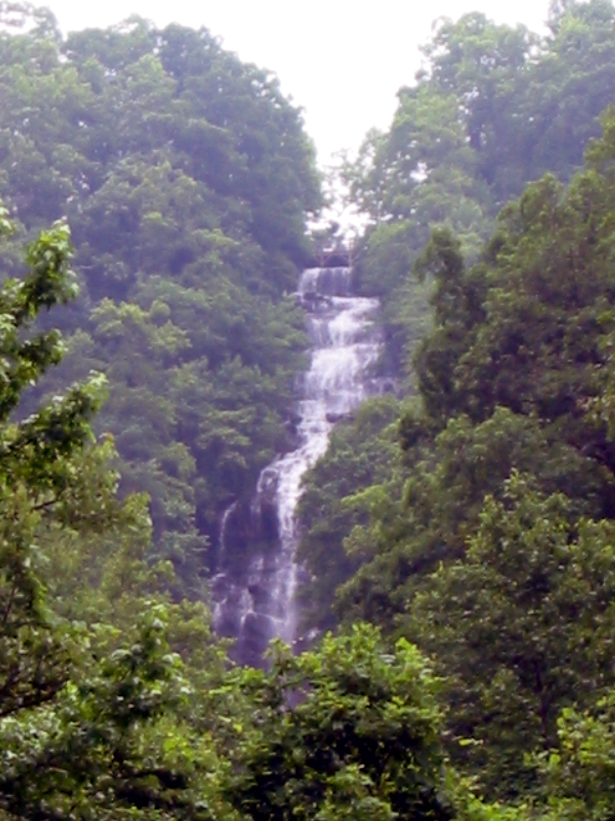
Tallulah Gorge is a dramatic chasm nearly 1,000 feet deep, carved by the Tallulah River through the mountains of northeast Georgia. The rim loop links a series of overlooks along both sides of the gorge and crosses a swaying suspension bridge high above the river, delivering big views for a short distance. It is among the most visited state parks in Georgia, and its high review count reflects both the spectacle of the gorge and the workout its many staircases provide.
The loop follows the north and south rims of the gorge, connecting a series of numbered overlooks that each frame a different view of the chasm, the river, and the waterfalls far below. The scenery is constant and genuinely dramatic, with sheer rock walls dropping away from the railings and the sound of the river rising from the depths. Interpretive signs along the way explain the gorge’s geology and its colorful history as a Victorian tourist destination.
The signature feature is the suspension bridge that spans the gorge about 80 feet above the rocky floor, swaying gently as you cross and offering a thrilling vantage over Hurricane Falls. Reaching it, and moving between the overlooks, involves descending and climbing hundreds of stairs, which is the defining physical characteristic of the hike and the thing nearly every visitor remembers.
Hikers who want to go all the way down to the gorge floor, rather than staying on the rim, need a free permit, issued in limited numbers each day on a first-come basis. The floor route is far more strenuous and includes rock hopping and, at times, water, so it is a bigger undertaking than the rim loop. Many visitors simply enjoy the overlooks and the bridge, which deliver the marquee views without the permit.
Moderate is a fair rating, and the difficulty is entirely about the stairs. The loop itself is short, but the many hundreds of steps up and down between the overlooks and to the bridge add up to a real cardiovascular workout, and hikers with knee issues or limited mobility should know the rim trail is not flat or fully accessible. Most people finish the rim loop in around an hour, plus time spent at the overlooks.
Conditions on the maintained trail are generally good, though the stairs and bridge can be slick when wet, and portions occasionally close for maintenance or weather. The gorge-floor route, for those with a permit, is a significant step up in difficulty and risk, involving slippery rocks and river crossings. The honest read is that the rim loop is short but stair-intensive, and the floor route is a genuine adventure best attempted by prepared, fit hikers.
The park is open year-round and rewarding in every season. Spring and fall are the standouts, with comfortable temperatures for the stairs and, in autumn, spectacular color framing the gorge. The park also schedules occasional scheduled water releases from the dam upstream, which turn the river into whitewater and draw paddlers and spectators, and these are a memorable time to visit if the dates line up.
Summer is popular and green but hot on the exposed overlooks and stairs, so an early start helps with both heat and crowds. Winter is quieter, with bare-tree views into the gorge and the occasional need for caution on icy steps. In any season, the overlooks and bridge are the reliable highlights, and a clear day makes the long views down the gorge far more rewarding.
Plan the logistics first. Tallulah Gorge is a state park with an entrance fee and paid parking, and the interpretive center at the trailhead is where you obtain a gorge-floor permit if you want one, so arrive early on busy days since the daily permits go quickly. There are restrooms and a large lot at the center, which makes it a comfortable base for the visit.
Dogs are not allowed on the gorge trails, which surprises many visitors, so leave pets at home. Wear sturdy shoes for the stairs, bring water, and be honest with yourself about the many steps before committing to the full loop or the floor route. Children should be kept close to the railings given the sheer drops, and staying on the marked trails is both a safety and a preservation requirement.
Tallulah Gorge sits right off US 441 near Tallulah Falls, between Atlanta and the North Carolina mountains, which makes it an easy and popular stop. Its blend of a marquee natural landmark, a thrilling suspension bridge, and a stair-driven workout makes it a rewarding destination for visitors willing to climb for the views.
Tallulah Gorge earns strong marks from the many people who visit, with the majority praising the dramatic overlooks and the suspension bridge, while noting again and again that the hike is defined by its hundreds of stairs. The recurring practical advice is consistent: come prepared to climb, get a floor permit early if you want the full experience, and expect an entrance fee and no dogs.
That is the fair summary of this northeast Georgia landmark. It packs a genuinely dramatic gorge, a swaying suspension bridge, and a stair workout into a short rim loop, with a more adventurous floor route for those who plan ahead. Arrive early, secure a permit if you want the floor, and pace yourself on the steps, and Tallulah Gorge delivers one of the finest gorge experiences in the Southeast.
LOWA Renegade EVO GTX MidGORE-TEX, 3 widths, resolableCheck price on Amazon →Hydro Flask Wide Mouth 32ozinsulated, durableCheck price on Amazon →Osprey Talon 22ventilated back, pole carryCheck price on Amazon →Adventure Medical Kits Ultralight Watertight .7day-hike specific, waterproofCheck price on Amazon →Black Diamond Spot 400-Rrechargeable, comfortableCheck price on Amazon → Patagonia Torrentshell 3L Jacketdurable, trail + everydayCheck price on Amazon →
 Darn Tough Hiker Micro Crew Midweightlifetime warrantyCheck price on Amazon →
 Black Diamond Pursuit Trekking Polescork grip, lightweightCheck price on Amazon →
 Sawyer Squeeze Water Filterultralight, standard threadsCheck price on Amazon →