Charlottesville might be the best base camp for hiking on the entire East Coast. Shenandoah National Park starts 30 minutes from downtown. The Blue Ridge Parkway is right there. The George Washington National Forest wraps around the western side. And the Appalachian Trail crosses through all of it. I’ve spent more weekends here than anywhere else, and I still haven’t run out of trails.
Here’s what I’d do if I were based in Cville, grouped by how far you have to drive.
Quick picks
Never hiked before? Stony Man or Dark Hollow Falls. Both are short, rewarding, and on paved Skyline Drive.
Bringing kids? Bearfence Mountain (short scramble they’ll love) or Crabtree Falls (easy path to massive waterfalls).
Want a challenge? Old Rag, Three Ridges loop, or the Cedar Run-Whiteoak Canyon combo.
What Are the Best Hikes Within 30 Minutes of Charlottesville?

Humpback Rocks is the hike every Charlottesville local does first. Twenty-one miles from downtown on the Blue Ridge Parkway and you’re at an AT trailhead that climbs 900 feet in about a mile to an exposed rocky summit at 3,080 feet. The views open up in every direction across the Blue Ridge. It’s steep enough to make your legs burn and short enough to do before dinner.
The pioneer farm exhibit at the base is worth a quick walk. Parking fills early on weekends from April through November. Best in fall for color or late spring when the wildflowers hit.
Pro tip: Go at sunrise on weekdays for a completely different experience than the packed Saturday afternoon version. The summit faces west, so sunset works too – just bring a headlamp for the descent.
Doyles River and Jones Run Falls is the best waterfall loop in Shenandoah, and it starts just 19 miles from town off Skyline Drive at mile 81. The 7.8-mile circuit drops through hardwood forest to three separate waterfalls: Doyles upper falls at 28 feet, the lower falls at 63 feet, and Jones Run falls at 42 feet. Three waterfalls in one hike, and most people skip it because it’s in the quieter south district. Best in spring when the water is running hard. The return climb is steady but never brutal.
South River Falls is 25 miles out at Skyline Drive mile 62.8. A 3.3-mile loop brings you to an overlook above the 83-foot cascade, the third tallest in the park. There’s an optional spur trail down to the base that adds about a mile and some steep rocky footing. Good moderate hike with a real payoff. Spring and early summer are best for water volume.
Which Shenandoah Trail Has the Best View for the Least Effort?
Stony Man – and it’s not close. Second-highest peak in Shenandoah at 4,011 feet, reached by a 1.6-mile loop with just 330 feet of gain. The cliff-edge views looking west over the valley are outstanding for the effort. If you only have an hour in the park, do this one. Trailhead is at Skyland Lodge, mile 41.7.
Hawksbill Mountain is the highest point in Shenandoah at 4,051 feet. Only 1.4 miles round trip with 600 feet of gain from the Upper Hawksbill parking area. Quick summit with a stone observation platform and views in every direction. Pair it with Dark Hollow Falls or Stony Man for a full morning on Skyline Drive.
These are the two highest points in the park and both require under 2 miles of hiking. The fact that you can summit both in a single morning and still be back in Charlottesville for lunch is absurd.
Is Old Rag Mountain Really the Best Hike in Virginia?
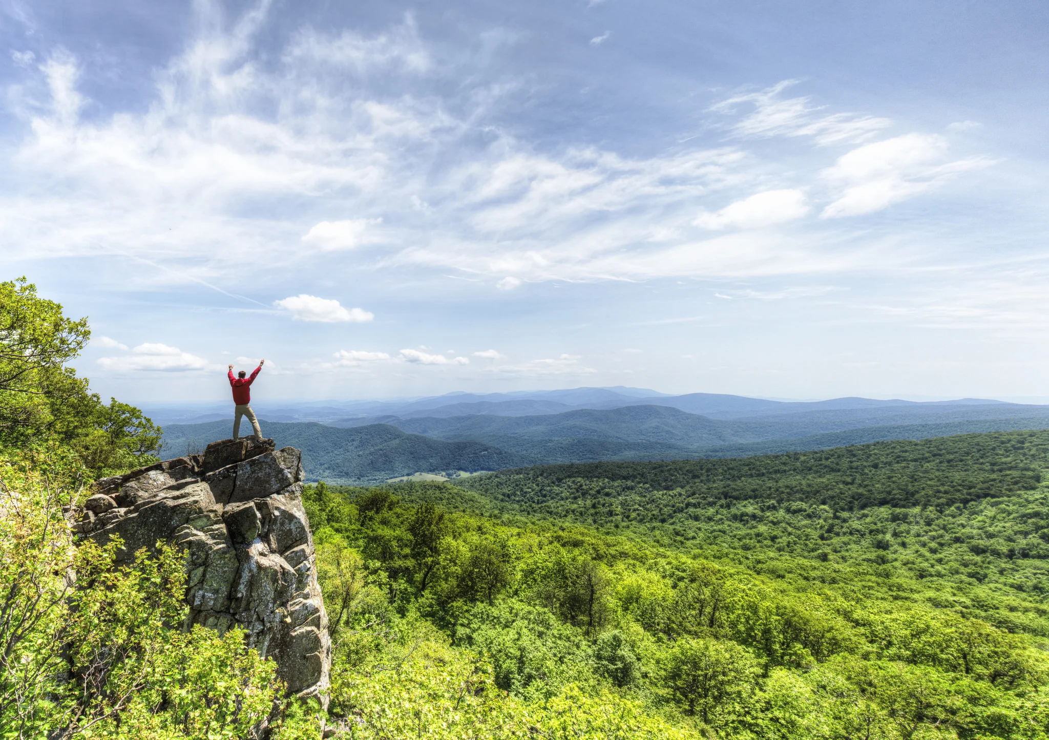
Yes. The 9.8-mile circuit with its mile-long granite boulder scramble is the most unique hiking experience in the state. The summit views are 360 degrees of Blue Ridge ridgelines. You’re using your hands, squeezing through crevices, and solving mini route-finding puzzles through a granite maze.
Get a timed entry permit at recreation.gov – fall weekends sell out weeks ahead. Two hours of driving from DC but only 37 miles from Charlottesville, which is one of the advantages of living here.
The details: 9.8 miles, 2,800 ft gain, hard. Day-use ticket required weekends/holidays. Budget 6-8 hours.
Pro tip: The fire road descent is the part everyone hates – 4+ miles of monotonous gravel after the scramble excitement. Trekking poles save your knees. Start by 7 AM on weekends or you’ll hit bottlenecks in the scramble section.
What’s the Best Waterfall Hike Near Charlottesville?
Depends what you want:
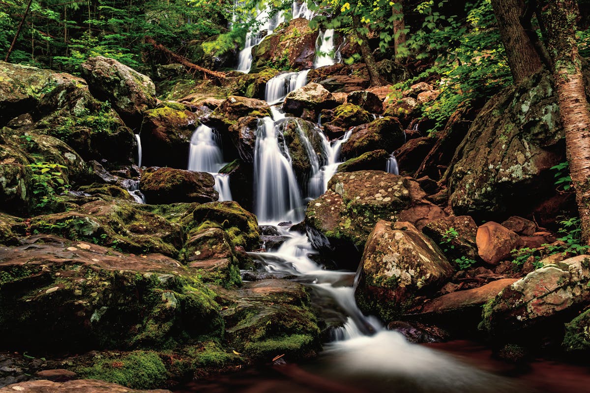
Most waterfalls in one hike: Whiteoak Canyon has six waterfalls in 4.6 miles, with the tallest at 86 feet. It’s the best waterfall concentration in the park. Pair it with Cedar Run for an 8.3-mile loop that’s one of the classic Shenandoah day hikes. Spring is the season.
Biggest single waterfall: Crabtree Falls is the highest vertical-drop waterfall series east of the Mississippi. Five cascades totaling over 1,200 feet of drop along a well-maintained trail off VA-56. The 2.6-mile round trip gains 1,200 feet on wooden steps and packed dirt. Dogs are allowed here – which matters because they’re banned on everything in Shenandoah. Forty-five minutes from Charlottesville.
Quickest waterfall: Dark Hollow Falls – 70-foot cascade only 0.7 miles from the Skyline Drive parking at mile 50.7. The catch: that 0.7 miles drops 440 feet, so the climb back is steep. Don’t let the short distance fool you.
Best-kept secret: Rose River Falls at mile 49.4 is a 67-foot tiered cascade reached by a 2.6-mile hike from Fishers Gap. Less crowded than Dark Hollow or Whiteoak and just as pretty.
Tallest in the park: Overall Run Falls in the north district at 93 feet. The 6.5-mile round trip with 2,000 feet of gain makes it a real hike. It dries to almost nothing by late June – go in April or after soaking rain.
Are There Good Rock Scramble Hikes Besides Old Rag?
Bearfence Mountain is a 1.2-mile loop with a rock scramble to a 360-degree summit view. The scramble section requires hands and feet on exposed basalt boulders. It’s not long, but it’s fun, and the panorama at the top is one of the best in the park for how little work it takes. Kids who are comfortable on rocks love it. Mile 56.4.
Cedar Run adds swimming holes, natural rock slides, and a 34-foot waterfall. As a standalone it’s 3.4 miles with 1,400 feet of gain. The water features make it the best summer hike in the park, but the footing is rough and the descent to the creek is steep. This is where locals go to cool off.
What’s the Best Full-Day Challenge Hike Near Charlottesville?
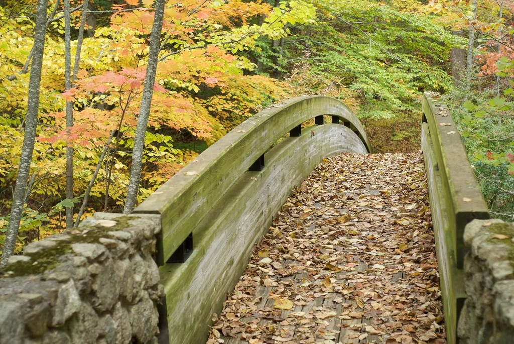
Three Ridges via the Mau-Har Trail is the big one. A 13.5-mile loop with 3,300 feet of gain that combines the AT over Three Ridges summit with a return along the Mau-Har Trail past a waterfall and through creek crossings. This is a full-day commitment for strong hikers or a perfect overnight. The summit views from Three Ridges are some of the best on the Virginia AT. Tye River trailhead on VA-56, about 55 miles out.
Pro tip: The Mau-Har Trail side has multiple creek crossings that can be knee-deep after rain. Bring sandals or expect wet boots. The AT portion is exposed on the summit ridge – bring sun protection and wind layers.
What About the Blue Ridge Parkway Hikes?

Spy Rock is a bare granite dome at 3,680 feet on the AT near Montebello, about 50 miles from Charlottesville. The 2.6-mile round trip gains 900 feet through forest to one of the best 360-degree views in central Virginia. You can see The Priest, Three Ridges, and the Rockfish Valley spread out below. Short enough for an afternoon. The USFS access road is gravel and can be rough after rain.
Sharp Top at Peaks of Otter is the signature summit of the Blue Ridge Parkway. The conical peak rises to 3,875 feet, reached by a steep 3-mile round trip with 1,580 feet of gain. The 360-degree summit view is one of the best on the BRP. About 80 miles from Charlottesville at milepost 86.
Apple Orchard Falls is a 200-foot waterfall reached by a 2.4-mile round trip off the Parkway at milepost 78.4. The trail drops steeply through Jefferson National Forest. Best in spring when the falls are full. Can dry to a trickle by August. Pair it with Sharp Top for a Peaks of Otter day.
How Do the Top Trails Compare?
| Trail | Miles | Difficulty | Drive Time | Best For |
|---|---|---|---|---|
| Stony Man | 1.6 | Easy | 35 min | Best view/effort ratio |
| Bearfence Mountain | 1.2 | Moderate | 40 min | Scramble + kids |
| Dark Hollow Falls | 1.4 | Moderate | 35 min | Quick waterfall |
| Humpback Rocks | 2.0 | Moderate-Hard | 20 min | Classic local summit |
| Spy Rock | 2.6 | Moderate | 50 min | 360-degree dome views |
| Crabtree Falls | 2.6 | Moderate | 45 min | Biggest waterfall + dogs |
| South River Falls | 3.3 | Moderate | 30 min | Waterfall + solitude |
| Whiteoak Canyon | 4.6 | Moderate-Hard | 40 min | Most waterfalls |
| Doyles River Loop | 7.8 | Moderate | 20 min | 3 waterfalls, uncrowded |
| Cedar Run-Whiteoak | 8.3 | Hard | 40 min | Swimming + waterfalls |
| Old Rag Mountain | 9.8 | Hard | 35 min | Best hike in Virginia |
| Three Ridges Loop | 13.5 | Very Hard | 55 min | Full-day AT challenge |
What Should I Know Before Hiking Near Charlottesville?
Shenandoah entrance fee: $35 per vehicle covers everything inside the park. Annual pass ($80) pays for itself in three visits. No dogs on any SNP trail except fire roads.
Old Rag requires a ticket: Day-use permit from recreation.gov, required on weekends and federal holidays year-round. Book ahead – fall weekends sell out weeks in advance.
Skyline Drive closes in weather: Ice, fog, and high winds close sections regularly November through March. Check NPS road status before driving up.
Waterfall timing matters: Spring (March-May) after snowmelt and rain delivers the best flow everywhere. By August, smaller falls like Overall Run and Apple Orchard dry to nothing.
Parking fills fast: Old Rag, Humpback Rocks, and Dark Hollow lots fill by mid-morning on weekends April through November. The south district (Doyles River, Jones Run) stays quiet even when the central trails are packed.
Charlottesville’s advantage is density. You could hike every weekend for a year and never repeat a trail. The Shenandoah waterfalls alone would take a full season. Add the BRP, the AT, and the national forest, and you’ve got more hiking than any other metro area on the East Coast.




Frequently Asked Questions
What is the best hike near Charlottesville VA?
Old Rag Mountain in Shenandoah National Park is the best hike near Charlottesville — about 45 minutes from town. The granite boulder scramble and 360-degree summit views make it the most popular hike in Virginia. Humpback Rocks on the Blue Ridge Parkway is a closer, shorter option.
What are the best waterfall hikes near Charlottesville?
Dark Hollow Falls is the shortest waterfall hike in Shenandoah at 1.4 miles round trip. Whiteoak Canyon has six waterfalls over five miles and is the best waterfall hike in the park. Crabtree Falls in the George Washington National Forest is the tallest cascading waterfall in Virginia.
What are easy hikes in Shenandoah National Park?
Stony Man Trail is the easiest summit hike in Shenandoah — 1.6 miles round trip to the second-highest peak in the park with clifftop views. Dark Hollow Falls and South River Falls are short waterfall hikes. Bearfence Mountain is a short scramble with a 360-degree panorama from the top.