LOWA Renegade EVO GTX MidGORE-TEX, 3 widths, resolableCheck price on Amazon →
 Hydro Flask Wide Mouth 32ozinsulated, durableCheck price on Amazon →
 Osprey Talon 22ventilated back, pole carryCheck price on Amazon →
 Adventure Medical Kits Ultralight Watertight .7day-hike specific, waterproofCheck price on Amazon →
 Black Diamond Spot 400-Rrechargeable, comfortableCheck price on Amazon →
Three Ridges is the hike that Virginia throws at you when it wants to test your endurance. The 13.5-mile loop follows the AT over Three Ridges summit (3,970 feet) and returns via the Mau-Har Trail along the Tye River valley. The AT section climbs steeply through forest to an exposed summit with views across the Blue Ridge. The Mau-Har return drops into the valley and follows a creek through dense forest with multiple stream crossings.
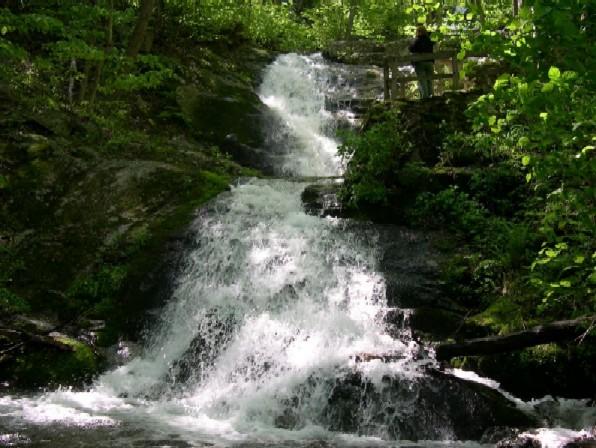
The creek crossings on the Mau-Har Trail are the variable that defines the experience. In dry conditions they are ankle-deep rock hops. After rain they become knee-deep fords that require careful footing and a willingness to get wet. In high water they can be genuinely impassable. Check recent conditions before committing to this loop — the creek crossings are not optional.
The elevation profile is what makes this trail exhausting. You climb to the summit of Three Ridges, descend over 3,000 feet to the valley floor, and then climb back out to the trailhead. The return climb on tired legs after 10 miles of hiking is where most hikers question their choices. There is no easy way to shorten this loop once committed.
This is the hardest standard day hike in the central Blue Ridge. The 13.5-mile distance alone puts it beyond most casual day hikers. Add the 3,300 feet of cumulative gain, the creek crossings, and the return climb, and this is a trail that demands planning and fitness. Strong hikers complete it in 8 to 10 hours. Many hikers do it as an overnight with a camp in the valley. Budget more time than you think — the second half is significantly slower than the first.
Compare to Old Rag: Three Ridges is longer and has more total elevation, but Old Rag’s scramble is more technically demanding. Three Ridges is about endurance. Old Rag is about technique. Both will leave you exhausted, but for different reasons.
Late spring through fall. The creek crossings are most manageable in late summer and early fall when water levels are lowest. Spring brings the heaviest water flow which makes the crossings most difficult. Fall foliage from the summit is excellent. Winter is possible but the creek crossings with cold water add a significant hypothermia risk.
The trailhead is on Route 56 near the Tye River, about 45 minutes from Charlottesville. Limited parking. No entrance fee. No restrooms. Cell service is nonexistent for most of the loop. Download a map before you start. Carry 3+ liters of water — the creek provides refill options but requires a filter. Trekking poles are essential for the creek crossings and helpful on the steep descents. Dogs are allowed but the creek crossings and distance make this a poor choice for most dogs. Tell someone your plan and expected return time — rescue from this loop is complex and time-consuming.
LOWA Renegade EVO GTX MidGORE-TEX, 3 widths, resolableCheck price on Amazon →Hydro Flask Wide Mouth 32ozinsulated, durableCheck price on Amazon →Osprey Talon 22ventilated back, pole carryCheck price on Amazon →Adventure Medical Kits Ultralight Watertight .7day-hike specific, waterproofCheck price on Amazon →Black Diamond Spot 400-Rrechargeable, comfortableCheck price on Amazon → Patagonia Torrentshell 3L Jacketdurable, trail + everydayCheck price on Amazon →
 Darn Tough Hiker Micro Crew Midweightlifetime warrantyCheck price on Amazon →
 Black Diamond Pursuit Trekking Polescork grip, lightweightCheck price on Amazon →
 Sawyer Squeeze Water Filterultralight, standard threadsCheck price on Amazon →