 LOWA Renegade EVO GTX MidGORE-TEX, 3 widths, resolableCheck price on Amazon →
 Hydro Flask Wide Mouth 32ozinsulated, durableCheck price on Amazon →
 Osprey Talon 22ventilated back, pole carryCheck price on Amazon →
 Adventure Medical Kits Ultralight Watertight .7day-hike specific, waterproofCheck price on Amazon →
 Black Diamond Spot 400-Rrechargeable, comfortableCheck price on Amazon →
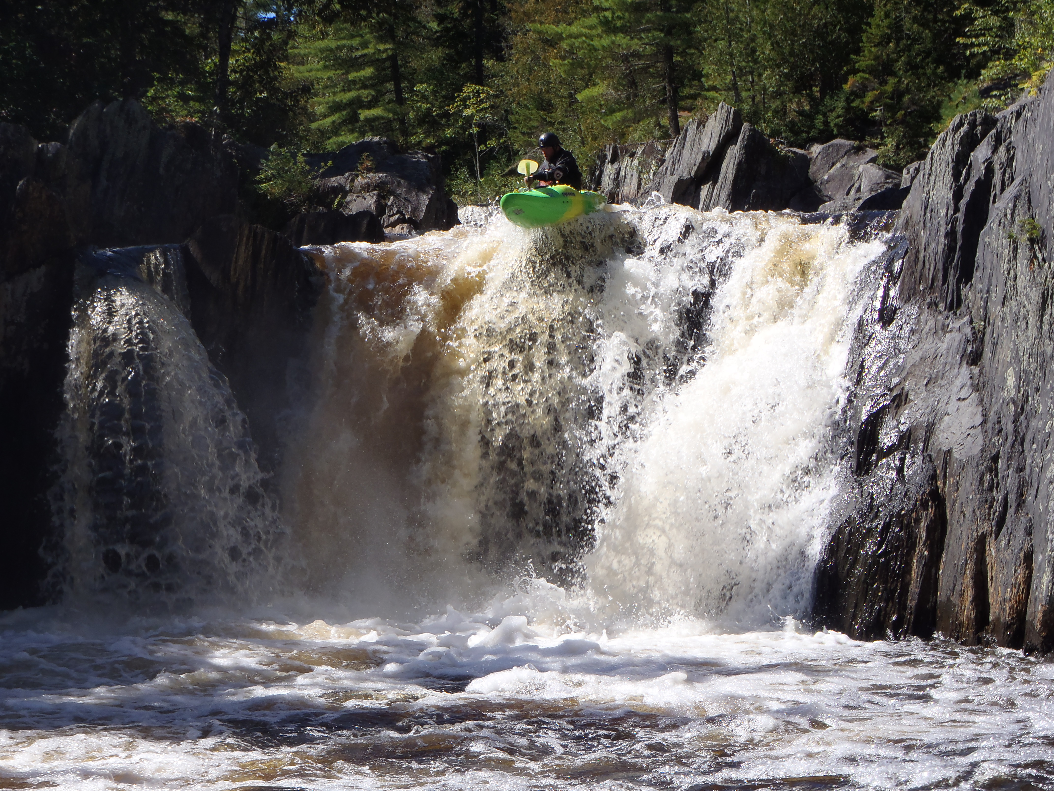
Gulf Hagas is a 3-mile slate canyon carved by the West Branch of the Pleasant River in the 100-Mile Wilderness of central Maine. The canyon drops 500 feet through a series of waterfalls, chutes, and pools — Screw Auger Falls, Buttermilk Falls, Billings Falls, and the Head of the Gulf are the headliners. The rim trail follows the canyon edge with spur paths dropping down to viewpoints above each falls. People call it the Grand Canyon of Maine, which oversells the scale but captures the spirit. It’s the most dramatic gorge hike in New England.
The full loop from the trailhead is about 8 miles, following the rim trail along the east bank of the canyon, then returning via the Pleasant River Road trail on the west side. The canyon section is about 3 miles of the total loop. The ford of the Pleasant River at the start can be ankle to knee-deep depending on season — bring water shoes or be prepared to get your boots wet. The rim trail is rugged: roots, rocks, mud, and blowdowns typical of Maine backcountry. This is not a manicured trail system.
Hard. The 8-mile loop has about 1,600 feet of cumulative elevation change, but the difficulty comes from the trail conditions. The rim path is rough, with exposed roots, slippery slate ledges near the viewpoints, and sections of standing mud. The river ford at the beginning adds a psychological barrier. The spur trails down to the falls viewpoints are steep and eroded. Budget more time than the distance suggests — 5 to 7 hours for the full loop is realistic.
Late June through September. The river ford is lowest in late summer, making the crossing easier. Spring has the best waterfall volume but the ford can be waist-deep and the trail is a mudpit. September is the sweet spot — the ford is manageable, blackflies are gone, and the hardwood canopy is starting to turn. The 100-Mile Wilderness area is remote and the access roads can be rough after rain. This is not a trail to start at 3pm.
Gulf Hagas is accessed via the KI Road (a private logging road) from Brownville Junction or Greenville. There’s a checkpoint with a day-use fee ($15 per vehicle non-resident, $10 resident). The road is gravel and can be rough. The trailhead has a registration box — sign in. No restrooms. No cell service. Nearest services are in Brownville Junction (30 minutes) or Greenville (45 minutes). This is genuine Maine backcountry — carry a map, bring food and water for a full day, and tell someone where you’re going. From Portland it’s about 3.5 hours; from Bangor about 1.5 hours.
LOWA Renegade EVO GTX MidGORE-TEX, 3 widths, resolableCheck price on Amazon →Hydro Flask Wide Mouth 32ozinsulated, durableCheck price on Amazon →Osprey Talon 22ventilated back, pole carryCheck price on Amazon →Adventure Medical Kits Ultralight Watertight .7day-hike specific, waterproofCheck price on Amazon →Black Diamond Spot 400-Rrechargeable, comfortableCheck price on Amazon → Patagonia Torrentshell 3L Jacketdurable, trail + everydayCheck price on Amazon →
 Darn Tough Hiker Micro Crew Midweightlifetime warrantyCheck price on Amazon →
 Black Diamond Pursuit Trekking Polescork grip, lightweightCheck price on Amazon →
 Sawyer Squeeze Water Filterultralight, standard threadsCheck price on Amazon →

