Five miles is the sweet spot. Long enough to feel like you actually did something. Short enough that you’re back at Grand Central before dinner. And within 90 minutes of Penn Station or GCT, there are more trails in that range than most New Yorkers realize — because everyone just defaults to Breakneck Ridge and calls it a day.
I’ve been hiking out of the city for years now, mostly by train, occasionally borrowing a car. These are the 5-mile-ish trails I keep coming back to, and a few I wish I’d found earlier.
Is Breakneck Ridge Still Worth It in 2026?
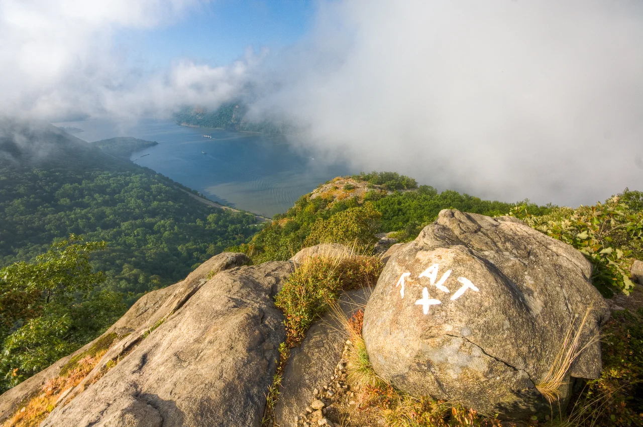
Short answer: yes, but with caveats.
Breakneck Ridge in Hudson Highlands State Park is 3.7 miles of steep, loose-rock scrambling that starts hard and never fully lets up. The first mile takes most people 30–60 minutes alone. You’re using your hands. It’s genuinely physical in a way that surprises first-timers who think “short hike” means “easy hike.”
The views of the Hudson are spectacular. The problem is everyone knows that. Hiking forums about NYC trails inevitably mention it, and equally inevitably someone replies: “way too crowded on weekends.” One local put it well: “I always appreciated that Breakneck drew the crowds so other trails were manageable.”
Here’s the thing — the Breakneck Ridge trailheads closed in April 2025 for an estimated two years for Metro-North station renovation and ecological restoration. So if you’re reading this hoping to go tomorrow, check current status first.
The details: 3.7 miles, 1,250 ft elevation gain, rated hard. Train-accessible via Metro-North to Beacon (when open). Budget 3.5–4 hours.
Pro tip: Completing the full 6-mile loop instead of turning back at the fire tower gives you a nearly empty, peaceful second half. The crowd split is dramatic. Also: wild blueberries grow along the trail in summer on that quieter back section.
What About Anthony’s Nose While Breakneck Is Closed?
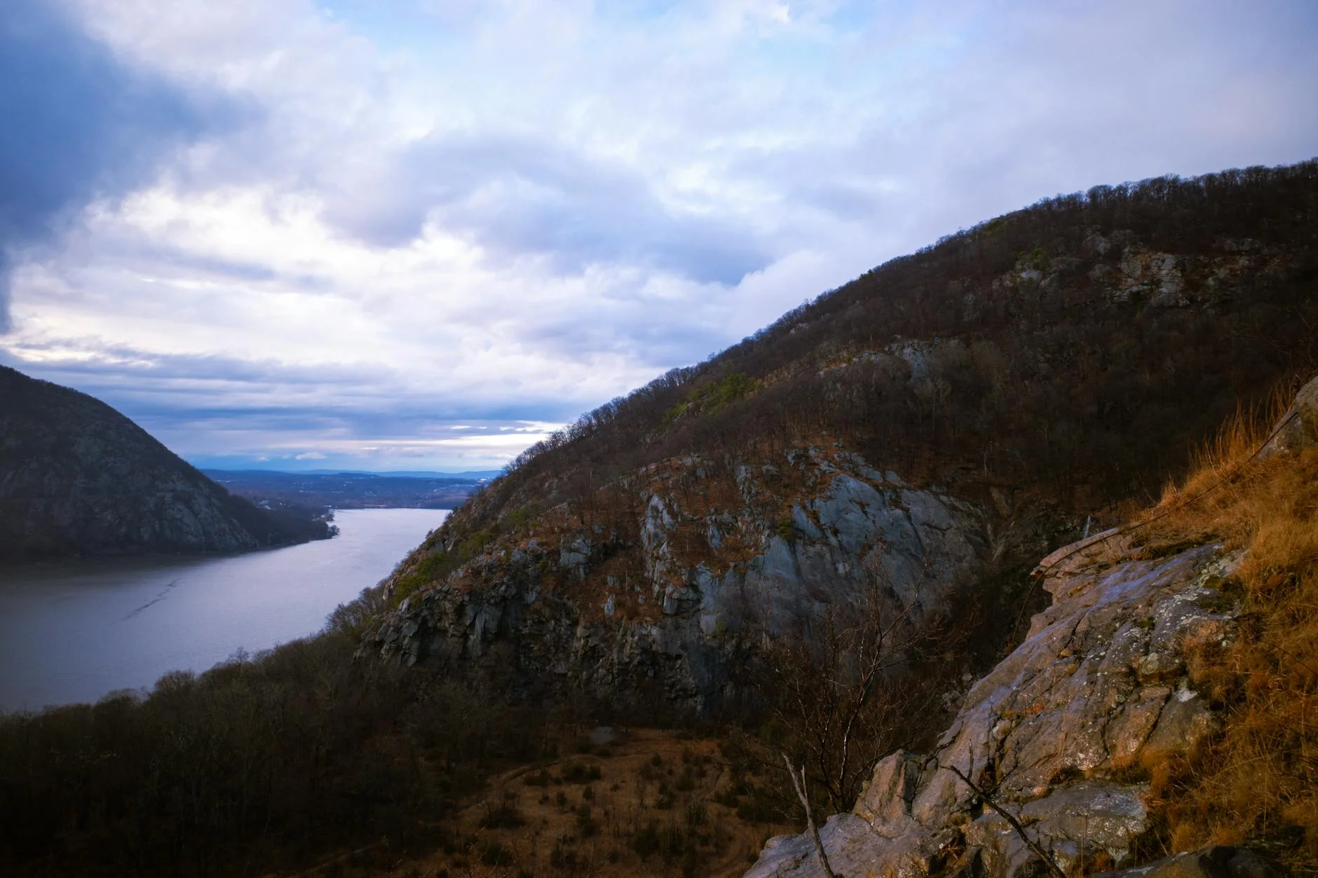
This is where everyone’s going now, and for good reason.
Anthony’s Nose is 3 miles round trip from the Garrison Metro-North stop — you literally walk off the train and hit the trailhead at the south end of the parking lot. The views of the Bear Mountain Bridge and Hudson River are arguably better than Breakneck’s, and the climb is more moderate.
The Garrison stop connects to 22 miles of marked trails with river views and beautiful forest. Anthony’s Nose is just the starting point of a network that extends into Camp Smith Trail and beyond.
The details: 3 miles, moderate difficulty. Train-accessible from Garrison.
Pro tip: If 3 miles isn’t enough, you can extend into a 5–6 mile loop using the Camp Smith connector without retracing your steps. The train ride from Manhattan is about an hour.
Does Overlook Mountain in the Catskills Count as “Near NYC”?
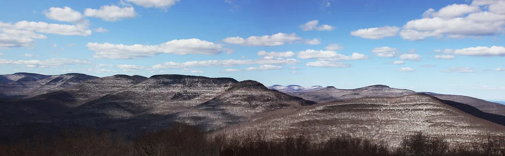
It’s two hours by car. That’s the outer edge of “near.” But it’s worth bending the definition.
Overlook Mountain is 4.9 miles round trip on a wide, well-graded road up to an abandoned fire tower with 360-degree Catskills views. The trail itself isn’t technical — no scrambling, no route-finding — but the sustained uphill climb over 1,400 feet of elevation catches people off guard. It’s a grind, not a puzzle.
What makes it special: the abandoned Overlook Mountain House ruins partway up, the fire tower at the summit, and on clear days you can see the Hudson Valley stretching south toward the city.
The details: 4.9 miles, ~1,400 ft gain, moderate. Drive from NYC: ~2 hours to Woodstock trailhead.
Pro tip: Come on a weekday morning. The crowd difference versus a sunny weekend is dramatic — it’s a completely different experience. The summit bench is a legitimate rest point worth lingering at.
Is Slide Mountain the Hardest Catskill Hike Under 6 Miles?
Not even close to the hardest. Despite being the highest peak in the Catskills at 4,180 feet, the standard route up Slide Mountain is surprisingly moderate for anyone with decent fitness.
The trail is 6 miles round trip with about 1,800 feet of elevation gain. Experienced hikers call it moderate to easy. First-timers find it genuinely hard. The biggest variable is direction — counterclockwise means a steep rocky scramble up and long stair descent; clockwise reverses that.
The details: 6 miles, 1,800 ft gain, moderate-hard.
Pro tip: Go counterclockwise in dry conditions so the rock scramble is ascent not descent. Switch to clockwise only when surfaces are wet or icy. Visit on a cold weekday morning for dramatically fewer people.
What’s the Best 5-Mile Loop That Isn’t Crowded?
Blue Mountain Loop — 5.46 miles with legitimate rock scrambling and exposed ridge walking. This one flies under the radar because it’s not on the train line and doesn’t have Breakneck’s social media reputation.
The loop features views that rival anything in the Hudson Highlands. Elevation gain is 1,257 feet — enough to feel it in your legs the next day.
The details: 5.46 miles, 1,257 ft gain, challenging.
Pro tip: Go counterclockwise — scramble up Major Welch, descend the stairs on the AT side. In slippery conditions, reverse direction. The only bathroom is near the parking area, so use it before starting.
Can You Do Alander Mountain as a Day Trip From the City?
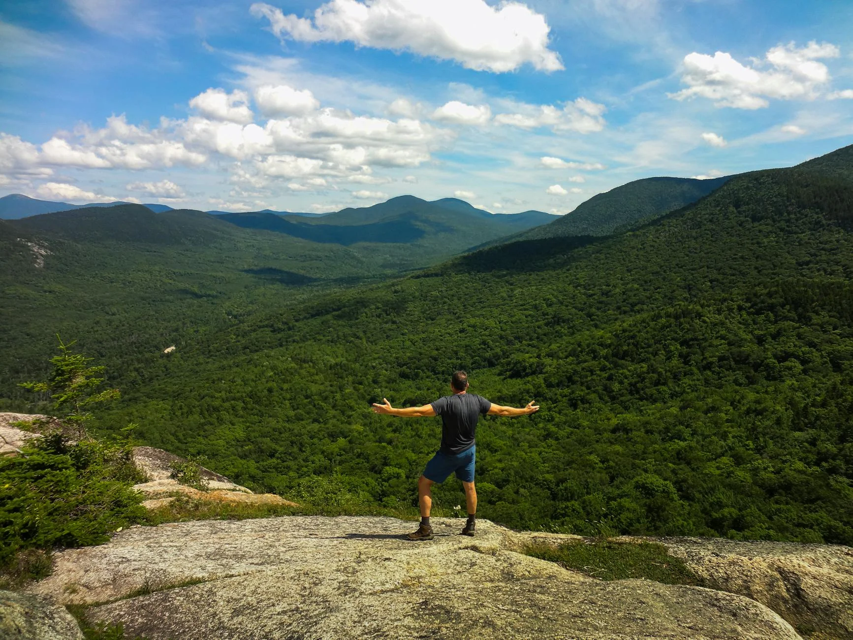
Yes, barely. Alander Mountain sits at the junction of New York, Massachusetts, and Connecticut — about 2.5 hours from Manhattan by car. The hike is 5.3 miles with steady climbing through dense forest before opening to a bald summit with sweeping valley views.
It’s quieter than anything in the Catskills proper. On a weekday in October you can have the summit entirely to yourself for 45 minutes. That doesn’t happen at Overlook or Slide.
The details: 5.3 miles, moderate-hard. Car required (no train access).
Pro tip: On clear days, the NYC skyline is reportedly visible from the summit. The trail is well-marked but remote — bring a downloaded map and don’t rely on cell service.
What’s the Best Fire Tower Hike in the 5-Mile Range?
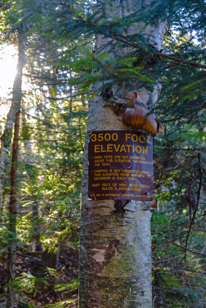
North Point at North-South Lake in the Catskills — 5.9 miles with a fire tower summit and multiple lake views along the route.
The first section is genuinely steep. Nearly every hiker who reviews this trail calls it out — steel steps, switchbacks, and sustained climbing for the first 0.8 miles. After that initial push, the trail mellows into a more gradual climb toward the tower. The summit views on clear days can reach the Hudson Valley and the NYC skyline from the top of the tower.
The details: 5.9 miles, rated easy overall (but the first mile disagrees).
Pro tip: Arrive by 8–9 AM on weekends. There are no bathrooms anywhere on the trail or at the summit. Early morning fog can produce dramatic views of mountains poking through cloud cover — worth the pre-dawn start.
Is The Haystacks a Good 5-Mile Option Near NYC?
The Haystacks on the Loyalsock Trail is technically in Pennsylvania, not New York — but it shows up in NYC hiking conversations because the distance is comparable to reaching the Catskills. At 5 miles with significant rock features and multiple viewpoints, it’s a different flavor than the Catskills grind.
Giant Ledge alone is a rewarding shorter option at 3.2 miles round trip if you’re short on time. The full route adds scramble sections that occasionally require handholds.
The details: 5 miles, challenging.
Pro tip: Go early for sunrise — multiple hikers describe it as spectacular and you’ll have the trail almost entirely to yourself. The port-o-potty is no longer in the parking lot, so plan a bathroom stop before arrival.
How Do I Pick the Right One?
| Trail | Miles | Difficulty | Train Access | Crowds |
|---|---|---|---|---|
| Anthony’s Nose | 3.0 | Moderate | Yes (Garrison) | Moderate |
| Breakneck Ridge | 3.7 | Hard | Closed 2025-2027 | Heavy |
| Overlook Mountain | 4.9 | Moderate | No | Moderate |
| The Haystacks | 5.0 | Hard | No | Light |
| Alander Mountain | 5.3 | Moderate-Hard | No | Light |
| Blue Mountain Loop | 5.46 | Hard | No | Moderate |
| North Point | 5.9 | Moderate | No | Light |
| Slide Mountain | 6.0 | Moderate-Hard | No | Moderate |
If you don’t have a car: Anthony’s Nose from Garrison. No question. Bull Hill is the backup.
If you want solitude: Alander Mountain or North Point. Weekday mornings at either will feel like your own private trail system.
If you want the best views per mile: Blue Mountain Loop or Anthony’s Nose. Both deliver Hudson Valley panoramas with relatively short approaches.
If you want a real physical challenge: Breakneck Ridge (when it reopens) or the full Haystacks loop. Both demand upper body engagement and sustained effort.
What Should I Know Before Going?
Parking fills early. Every single one of these trails has hikers warning about full lots by mid-morning on weekends. 8 AM arrival is the baseline, not early.
Download your map offline. Cell service is unreliable in the Catskills and parts of the Hudson Highlands. AllTrails offline mode or a downloaded GPX file prevents the “phone died and I can’t find the trail” scenario that appears in reviews with alarming regularity.
Weather changes fast at elevation. The Hudson Valley floor might be sunny and 70°F while a Catskills summit at 4,000 feet is 55°F with 30 mph winds. Bring a layer even in summer.
The train changes everything. Metro-North’s Hudson Line puts multiple trailheads within walking distance of stations — no car, no parking stress, no designated driver. Cold Spring, Garrison, Beacon, and Breakneck (when open) are all legitimate zero-car hiking starts. You can reach several trailheads from NYC by train plus a short walk or free shuttle. The Hudson Valley hiking community largely exists because of this train access.