Cape Cod hiking gets underestimated because the numbers look easy. The highest point on the Outer Cape barely clears 100 feet, and most trails run one to three miles. Then you walk two hours through soft sand with the wind in your face, checking the tide chart you should have checked earlier. Opinions get revised. The Cape substitutes sand and tide and exposure for elevation. The payoff is a landscape that exists nowhere else on the East Coast — walking dunes, drowned forests, tidal islands, 40 miles of protected Atlantic shoreline.
Nearly everything on this list sits inside the Cape Cod National Seashore, which has protected the Outer Cape since 1961. Trailheads are free or cheap outside of summer beach lots, dogs are allowed in more places than most national parks, and the crowds thin dramatically the moment you walk five minutes past any parking area.
What Is the Best Hike on Cape Cod?
The Great Island Trail in Wellfleet, and nothing else is close. The full route runs about 8 miles out along a forearm of sand and pitch pine that hooks into Cape Cod Bay, past the site of a 1700s whalers’ tavern and across tidal flats to Great Beach Hill, ending at Jeremy Point, a sandbar that disappears under the tide twice a day. It’s the only hike on the Cape that demands planning: 3 to 5 hours with no water sources, plus a timing problem, because the point section is only walkable around low tide.
It’s also the emptiest beautiful place on Cape Cod. On a September weekday you can walk the length of it and count the other hikers on one hand, while the lot at Nauset Light overflows 20 minutes away. I called it the wildest coastal hike south of Maine in our best coastal hikes roundup and I stand by it. I’ll also repeat the confession from that piece: the sand humbled me the first time. Bring more water than the mileage suggests you’ll need.
The Seashore Core
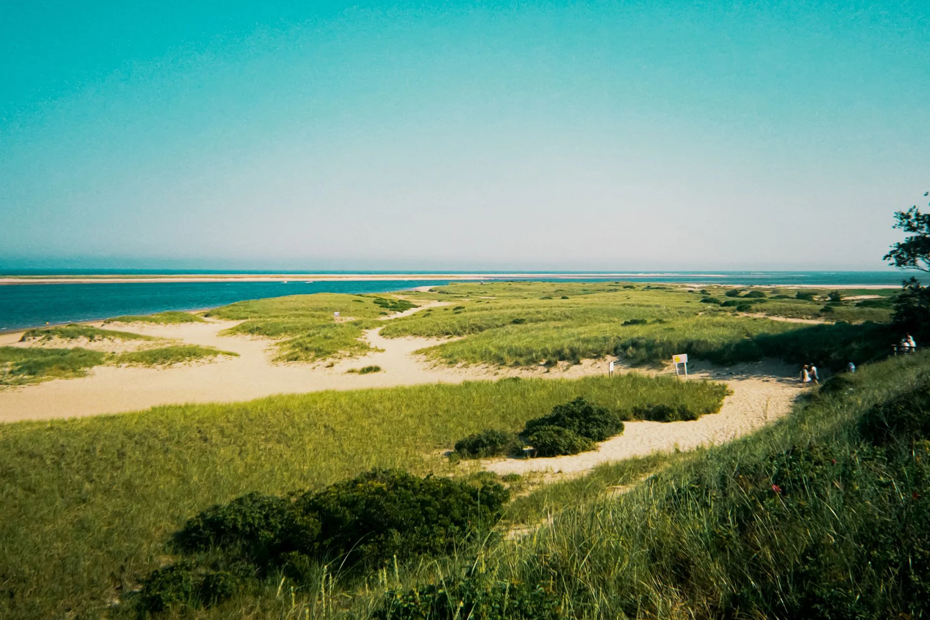
The Nauset Marsh Trail in Eastham (1.3 miles) loops from the Salt Pond Visitor Center along the edge of a salt pond and out to overlooks across the marsh toward Coast Guard Beach. It packs more scenery per step than any short trail on the Cape, and the visitor center parking makes it the natural first hike of a Seashore trip.
Fort Hill, also in Eastham (about 1.5 miles with the Red Maple Swamp boardwalk section), might be the best sunset spot on the Outer Cape. The trail rolls through old farm fields past a sea captain’s house, with the whole sweep of Nauset Marsh and the barrier beach below. Whether the Red Maple Swamp boardwalk is open in any given season is a coin flip I’ve stopped calling — it’s closed for repairs more than once, check before you build a sunset plan around it.
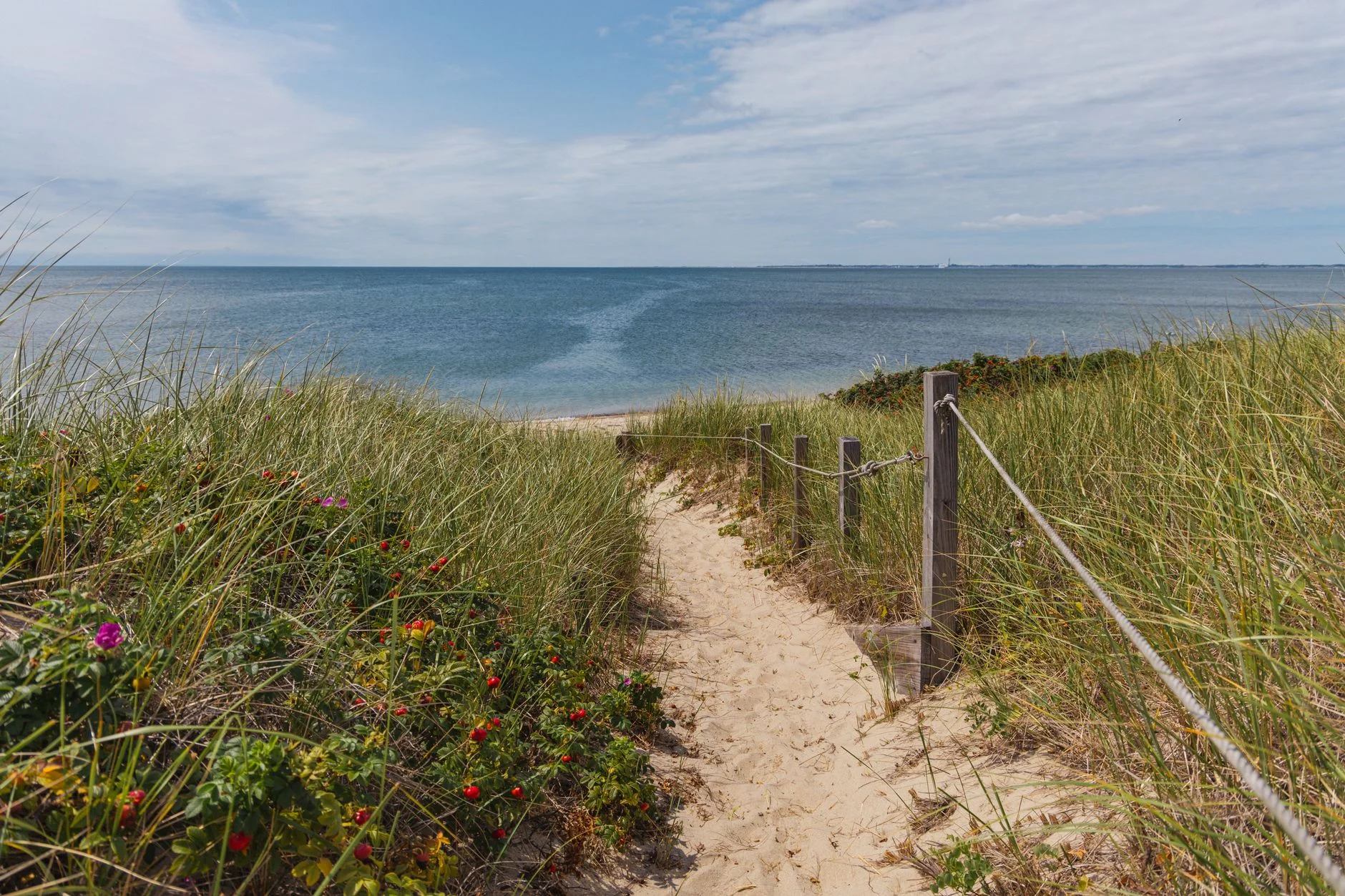
The Atlantic White Cedar Swamp Trail at the Marconi Station site in Wellfleet (1.2 miles) drops off the sandy plateau into a dark, glacial-kettle swamp on a boardwalk through cedars. Walking from open dune scrub into that green room and back out again is the strangest 20-minute transition in Massachusetts. Marconi sent the first transatlantic wireless message from the bluff next door in 1903; the ocean has since eaten most of the station site, which tells you everything about erosion out here.
If you want raw Atlantic beach instead of trail, park at Coast Guard Beach in Eastham and walk south along the barrier spit toward Nauset Inlet. There’s no marked route because none is needed — ocean on one side, marsh on the other, as many miles as your legs want. This is the beach Henry Beston wrote about in The Outermost House, and a two-hour walk on it in the off-season explains the entire book.
Can You Hike the Provincetown Dunes?

Yes, and you should. The Dune Shacks Trail starts from Route 6 near the Provincetown-Truro line and crosses about 2.5 miles of open, bald dunes to the Atlantic, passing the scattered dune shacks where writers and artists (Eugene O’Neill among them) have holed up for a century. There are no blazes and no shade, just sand ridges and the ocean announcing itself before you see it, which is my favorite single moment of walking on this entire peninsula. Go early or late in summer, the dunes turn into a reflector oven by midday and I’ve made that mistake in July exactly once.
For a gentler Provincetown walk, the Beech Forest Trail (1 mile) loops through the improbable pocket of hardwood forest holding the line against the walking dunes, and it’s the Cape’s best birding trail during spring migration.
The Freshwater Side
Cliff Pond Loop in Nickerson State Park, Brewster (about 3 miles) circles the biggest of the park’s kettle ponds through pine and oak, clear-water swimming the whole way around. It’s the trail for the day the ocean side is fogged in.
In Truro, the Pilgrim Spring and Small’s Swamp trails (two short loops, about 1.5 miles combined) cover the hollow where the Mayflower party found its first fresh water in 1620, with interpretive signs and views over salt meadow. Short, quiet, and usually empty.
Tide Games: Chatham and Sandy Neck
The Morris Island Trail in Chatham (0.75 to 2.8 miles depending on tide) runs from the Monomoy National Wildlife Refuge headquarters down a wooden staircase to a beach-and-marsh loop that is simply not there at high tide. Time it right, and you share the flats with more shorebirds than people; Monomoy is among the most important migratory stopovers on the Atlantic flyway.
Sandy Neck in Barnstable is the endurance option: a barrier beach running 6 miles out along Cape Cod Bay, with marked trails cutting between the bayside beach and the marsh to make loops from 2 up to around 13 miles. I have never done the full 13. I keep planning it, and then the soft sand does its arithmetic — a 6-mile Sandy Neck loop feels like 10 anywhere else — and the plan quietly revises itself to the medium loop. Off-season, when the oversand vehicles are gone, it’s magnificent and desolate.
The Ten, Side by Side
| Trail | Town | Miles | Character | Tide-dependent? |
|---|---|---|---|---|
| Great Island Trail | Wellfleet | 8.0 | Tidal island, pine bluffs | Yes (Jeremy Point) |
| Dune Shacks Trail | Provincetown/Truro | 2.5 | Open walking dunes | No |
| Sandy Neck Loops | Barnstable | 2–13 | Barrier beach + marsh | No |
| Cliff Pond Loop | Brewster | 3.0 | Kettle pond, forest, swimming | No |
| Morris Island Trail | Chatham | 0.75–2.8 | Flats, shorebirds | Yes |
| Fort Hill Trail | Eastham | 1.5 | Fields, marsh overlooks | No |
| Nauset Marsh Trail | Eastham | 1.3 | Salt pond, marsh edge | No |
| Atlantic White Cedar Swamp | Wellfleet | 1.2 | Boardwalk swamp | No |
| Beech Forest Trail | Provincetown | 1.0 | Forest, birding | No |
| Pilgrim Spring / Small’s Swamp | Truro | 1.5 | History loops | No |
About the Rail Trail
Regular readers know my policy on rail trails, which is that calling them hikes is a stretch I refuse to make, and the 25-mile Cape Cod Rail Trail does not get an exemption just cause its on the Cape. That said, treat it as connective tissue and it earns its keep: the section through Nickerson links directly to the Cliff Pond loops, and the Wellfleet end puts you a short detour from the cedar swamp. Walkers who want miles without sand use it in the off-season. Everyone else, the beaches are right there.
The September Argument
September and October, and I will not be entertaining rebuttals. The water is still warm and the crowds leave after Labor Day. The light goes golden, and the greenhead flies that run the marshes like a protection racket in July are finally gone. Spring runs a close second for birding, especially at Beech Forest and Monomoy during migration.
Summer works if you adapt: hike at 7 a.m., carry more water than feels reasonable for a 2-mile trail, and expect beach-lot parking fees at Seashore trailheads. Winter hiking on the Cape is a genuine secret; gray seals haul out by the hundreds off Chatham and Provincetown while the trails sit empty, and a 35-degree beach walk with no wind beats most 60-degree days inland.
Sand, Tides, Ticks
Check the tide chart before Great Island and Morris Island; both have sections that close with the water, and Jeremy Point has stranded enough people that the Seashore posts warnings about it. Soft sand roughly doubles the effort of any distance, so scale your plans accordingly. Ticks are a real presence in the grass and scrub (the Outer Cape is Lyme country), so stay on trail and check afterward.
And bring layers year-round. The Cape manufactures its own weather, the wind on an exposed beach is always stronger than the forecast, and fog can erase the dunes’ landmarks in minutes. If you want bigger coastal terrain after a Cape trip, our best coastal hikes on the East Coast guide runs from Acadia’s Ocean Path down to Virginia.