Baltimore doesn’t get the hiking reputation that DC does, but the trails within 90 minutes are arguably better. You’ve got cliff overlooks, the tallest waterfall in Maryland, multiple Appalachian Trail access points, and Harpers Ferry — all without the I-66 traffic that DC hikers endure every weekend. The terrain is hillier than you’d expect from a coastal city, and once you’re past the beltway, the forest takes over fast.
Here’s what’s worth the drive, grouped by distance.
Quick picks
Quick after-work hike? Patapsco Valley State Park — 15 minutes, creek trails, multiple loops.
Best views? King and Queen Seat — cliff-edge overlook, 30 minutes from the city.
Best waterfall? Cunningham Falls — 78 feet, tallest cascading waterfall in Maryland, 75 minutes.
Best all-around hike? Maryland Heights at Harpers Ferry — the iconic overlook.
What Are the Best Hikes Within 30 Minutes of Baltimore?
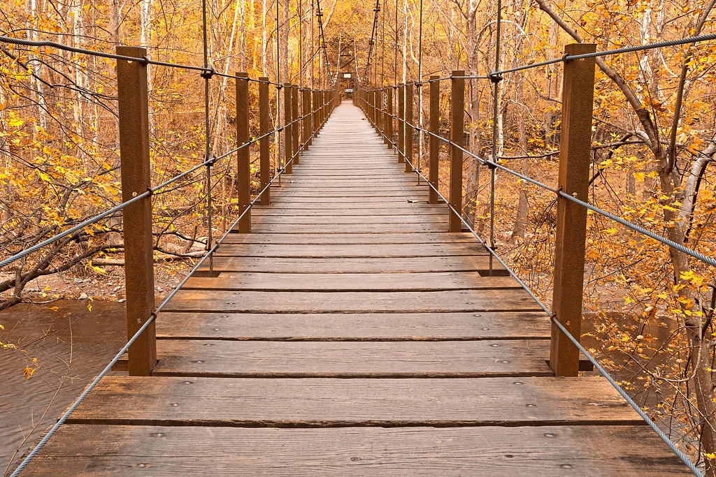
Patapsco Valley State Park is Baltimore’s backyard trail system — 200 miles of trails along the Patapsco River, 15 minutes from downtown depending on which section you enter. The Cascade Falls Trail is the shortest payoff (1 mile round trip to a small cascade). The Valley View and Ridge trails offer longer loops with river views. Multiple access points from Ellicott City to Elkridge. This is where Baltimore runners and dog walkers go on weekday evenings.
Loch Raven Reservoir has a 7.5-mile fire road loop around the reservoir that’s flat, wide, and popular with trail runners. No technical terrain — just a long walk through woods with water views. Twenty minutes from the city. The dam overlook on the east side is worth the detour.
Gunpowder Falls State Park — the Sweet Air section (25 minutes from downtown) has the best trail network close to the city. The boundary trail loop is about 5 miles through forest and meadow with creek crossings. Less crowded than Patapsco and more variety in terrain.
Where Is the Best Cliff Overlook Hike Near Baltimore?
King and Queen Seat at Rocks State Park is the best viewpoint hike near Baltimore. A short, steep climb (about 0.5 miles) leads to a 190-foot cliff edge overlooking Deer Creek valley. The “throne” — a rock formation you can sit on at the edge — is dramatic and slightly terrifying. Thirty minutes from Baltimore in Harford County. The rocks are popular with climbers. Stay back from unprotected edges.
Kilgore Falls is in the same park — Maryland’s second-tallest waterfall at 17 feet, reached by a 0.4-mile walk. Pair it with King and Queen Seat for a full morning at Rocks State Park. Small parking lot fills on weekends — arrive before 10 AM.
Weverton Cliffs on the Appalachian Trail (4 miles round trip, moderate) delivers wide views of the Potomac River valley from a rock ledge. About 60 minutes from Baltimore via I-70. Less crowded than Maryland Heights and a good AT introduction. The cliffs face west — solid sunset spot.
Is Maryland Heights the Best Hike From Baltimore?
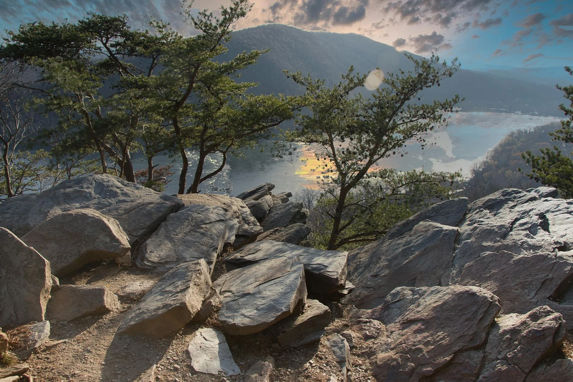
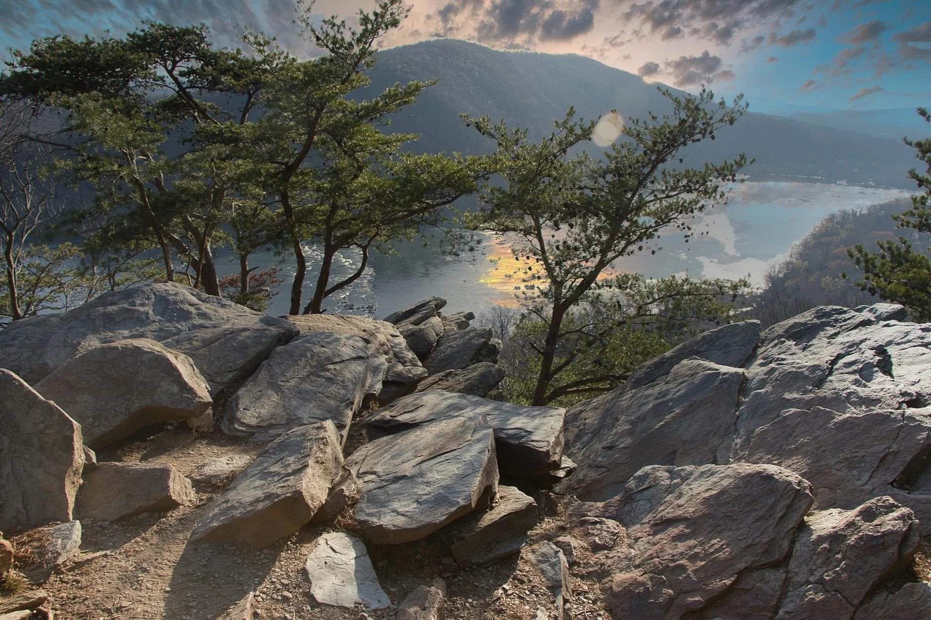
For the single best combination of views, history, and trail quality — yes. Maryland Heights (4 miles round trip, hard) gives you the iconic view of the Potomac and Shenandoah rivers merging below Harpers Ferry. It’s the view in every NPS brochure for the park.
The trail is steep — 1,400 feet of gain on rocky terrain that thins out casual visitors. Seventy minutes from Baltimore. Free (NPS site). The overlook is crowded on fall weekends but manageable at any other time.
Pro tip: Go on a fall weekday morning for the best combination of color and solitude. The river confluence view with autumn foliage on the mountains is world-class. Pair with a walk through Harpers Ferry town after the hike for food and history.
What’s the Best Appalachian Trail Hike Near Baltimore?
Annapolis Rock (5.4 miles round trip, moderate) is the best AT day hike within 90 minutes of Baltimore. A broad rock outcrop looking west over the Greenbrier Valley — one of the classic mid-Atlantic AT viewpoints. The trail from the parking area on I-70 is well-maintained with steady climbing. Good for sunset. Backpackers use the nearby campsite for overnights.
Appalachian Trail to Ravens Rocks — less-known alternative to Annapolis Rock on the same ridgeline. Fewer people, similar views. Access from the Wolfsville Road crossing, about 75 minutes from Baltimore.
Chimney Rocks in Michaux State Forest (Pennsylvania, about 90 minutes) — rock outcroppings on the AT with views over the Cumberland Valley. The quartzite formations are unique and the trail is quiet compared to Annapolis Rock. Best combined with a Gettysburg visit if you’re making a day of it.
Where Are the Best Waterfall Hikes Near Baltimore?
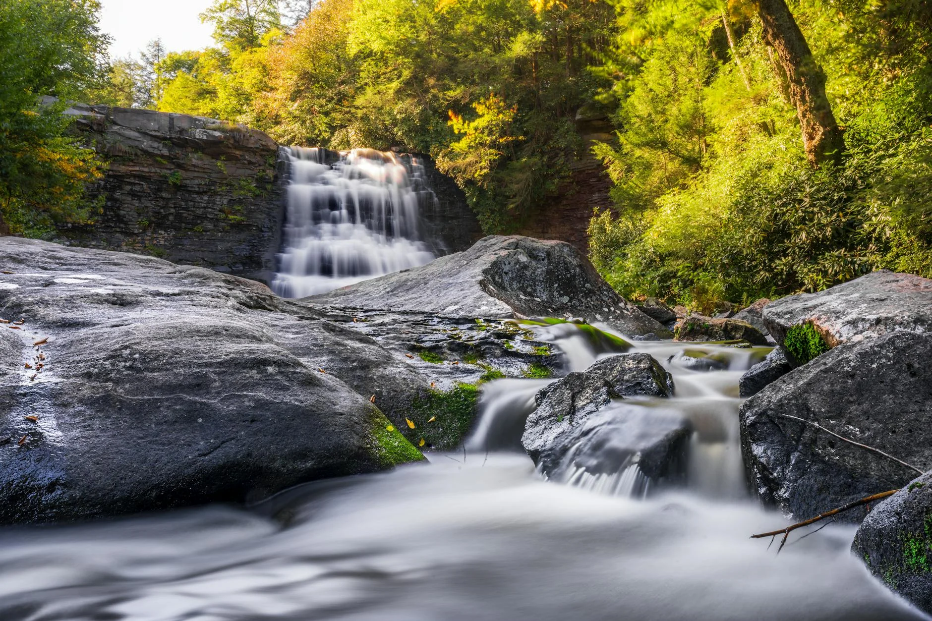
Cunningham Falls at Cunningham Falls State Park is the tallest cascading waterfall in Maryland at 78 feet. Only 0.5 miles from the parking lot on an easy trail. The pool at the base is swimmable when water levels allow. Pair with Wolf Rock and Chimney Rock at Catoctin Mountain Park next door (literally adjacent) for a full day. Seventy-five minutes from Baltimore. $5 state park fee.
Kilgore Falls at Rocks State Park (17 feet, 0.4-mile walk) is the closest waterfall to Baltimore at 30 minutes. Small but pretty, and the short approach makes it perfect for a quick trip or combining with King and Queen Seat.
Cascade Falls in Patapsco Valley State Park is the closest waterfall to downtown — a small cascade on a 1-mile trail, 15 minutes from the city. Not dramatic but a reliable quick nature fix.
What About Sugarloaf Mountain?
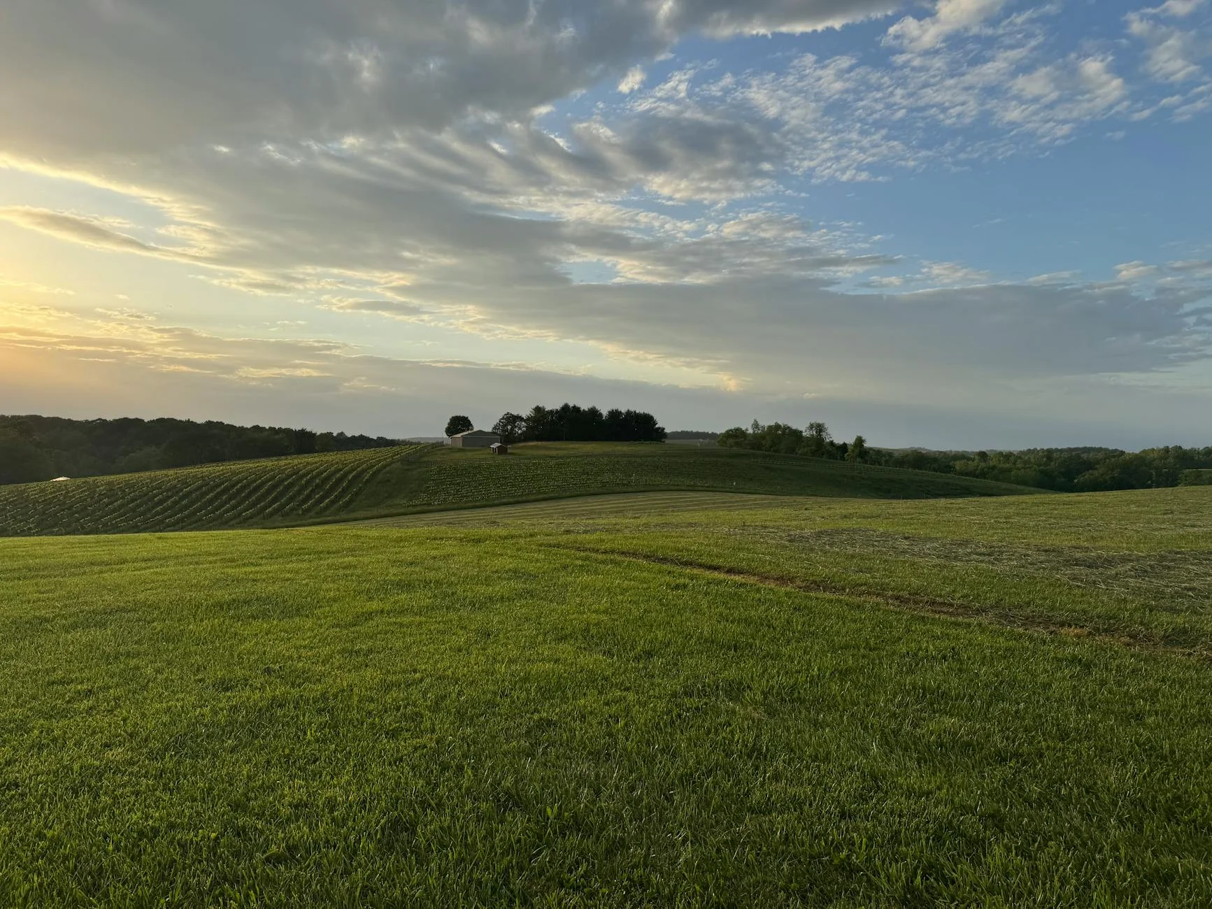
Sugarloaf Mountain is a monadnock — an isolated hill rising from the Piedmont plain — about 50 minutes from Baltimore. Multiple loop options from 2 to 7 miles with summit views over rolling farmland in every direction. Free admission. The summit picnic area has one of the best lunch views near either Baltimore or DC.
It’s not dramatic terrain — no cliffs, no waterfalls, no scrambling. But it’s reliable, uncrowded, and the views are surprisingly expansive for a 1,282-foot hill. The green, yellow, and red trails can be combined for a 5-mile loop that hits every overlook.
How Do the Top Trails Near Baltimore Compare?
| Trail | Miles | Difficulty | Drive Time | Best For |
|---|---|---|---|---|
| Cascade Falls (Patapsco) | 1.0 | Easy | 15 min | Closest waterfall to city |
| King and Queen Seat | 0.5 | Moderate | 30 min | Cliff overlook, dramatic |
| Kilgore Falls | 0.4 | Easy | 30 min | Quick waterfall |
| Gunpowder Falls (Sweet Air) | 5.0 | Easy-Mod | 25 min | Forest loops, creek crossings |
| Sugarloaf Mountain | 2-7 | Easy-Mod | 50 min | Summit views, multiple loops |
| Maryland Heights | 4.0 | Hard | 70 min | Best view, iconic overlook |
| Cunningham Falls | 0.5 | Easy | 75 min | Tallest MD waterfall + Catoctin |
| Weverton Cliffs (AT) | 4.0 | Moderate | 60 min | Potomac valley views, sunset |
| Annapolis Rock (AT) | 5.4 | Moderate | 60 min | Classic AT overlook |
| Chimney Rocks (PA) | 3.0 | Moderate | 90 min | Quartzite formations on AT |
If you only have an hour: King and Queen Seat + Kilgore Falls at Rocks State Park. Drive 30 minutes, hike both in 90 minutes, back home.
If you want the best single hike: Maryland Heights. The river confluence view earns the steep climb.
If you want waterfalls: Cunningham Falls + Catoctin Mountain Park for a full day. Two parks, one location, 75 minutes from the city.
If you want to walk after work: Patapsco Valley or Gunpowder Falls. Both are under 25 minutes and have enough trail variety for months of repeat visits.
If you want the AT experience: Annapolis Rock for views, Weverton Cliffs for sunset, or drive to Chimney Rocks in PA for solitude.
What Should I Know About Hiking Near Baltimore?
Patapsco floods. The river valley trails in Patapsco State Park flood after heavy rain. Check park status before driving — sections close regularly and trails near the river can be impassable for days after a storm.
Rocks State Park fills fast. The King and Queen Seat parking area is small and fills by mid-morning on weekends. Arrive before 10 AM or go on a weekday. Kilgore Falls has its own lot but is equally small.
Combine Catoctin and Cunningham. The two parks are adjacent. Do Cunningham Falls in the morning (easy, waterfall), then Chimney Rock and Wolf Rock at Catoctin in the afternoon (moderate, rock formations). Full day, one drive.
Ticks are aggressive. Maryland trails from March through November are serious tick territory. Check yourself thoroughly after every hike. Tucked pants, DEET or permethrin-treated clothing, and a post-hike tick check are standard practice, not optional.
Baltimore to Harpers Ferry is easy. I-70 West to US-340 — about 70 minutes without traffic. Maryland Heights, Weverton Cliffs, and Annapolis Rock are all on that corridor. You can hit two in a full day. The DC hikers coming from the south deal with worse traffic to reach the same trails.