LOWA Renegade EVO GTX MidGORE-TEX, 3 widths, resolableCheck price on Amazon →
 Hydro Flask Wide Mouth 32ozinsulated, durableCheck price on Amazon →
 Osprey Talon 22ventilated back, pole carryCheck price on Amazon →
 Adventure Medical Kits Ultralight Watertight .7day-hike specific, waterproofCheck price on Amazon →
 Black Diamond Spot 400-Rrechargeable, comfortableCheck price on Amazon →
Lehigh Gorge at a glance: A flat, crushed-gravel rail trail running 26 miles through a deep river gorge, with the town of Jim Thorpe as its southern gateway. The classic sampler on foot is the 4-mile round trip from town across the river to a fenced-off abandoned rail tunnel. Bikes rule the longer distances, and shuttle services make the full gorge a one-way downhill ride. Parking in Jim Thorpe is paid and weekend rates sting, so read the lot signs before you commit.
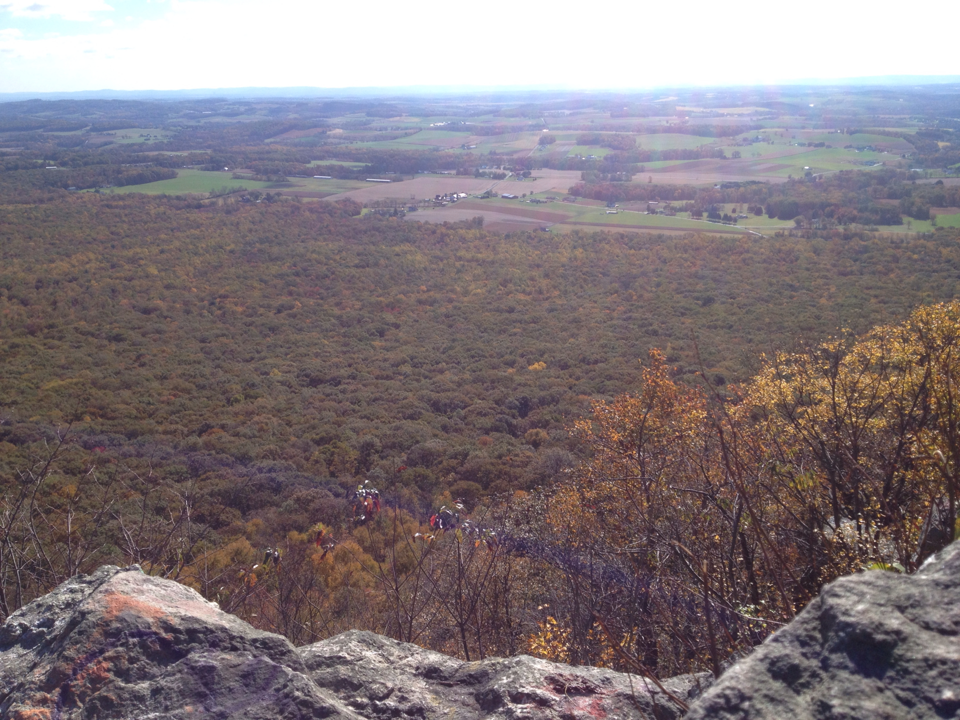
Lehigh Gorge State Park is a former railroad grade doing what former railroad grades do best: carrying people deep into scenery that would otherwise take real climbing to earn. The Lehigh River cuts a forested gorge between White Haven and Jim Thorpe, and the trail rides the old grade above the water for 26 miles of rapids, rock walls and railroad history. For hikers, the sweet spot is the southern end, where a short out-and-back from Jim Thorpe delivers the gorge’s flavor in an easy afternoon.
The featured walk starts from the Jim Thorpe side, passes the parked trains near the historic station, and follows the trail north across a bridge over the river — the visual highlight of the day, with long views up and down the gorge. Beyond it, the wide gravel path runs to the mouth of an abandoned rail tunnel, a relic of the region’s coal-hauling era. The tunnel is fenced, so you peer through rather than walk in, and daylight showing at its far end makes the photo anyway. Round trip from the parking areas lands between 4 and 4.5 miles depending on where you start.
This is an active railroad corridor as much as a park, and that becomes part of the show. Scenic excursion trains and freight still run the line beside the trail, and hikers routinely count several passing during a single walk. The river supplies the rest of the entertainment: rapids and calm pools below the trail, whitewater rafts drifting past in season, and herons working the banks. The surface itself is flat, wide and smooth the entire way, as easy as walking gets.
The full trail stretches 26 miles to White Haven, and almost everyone who covers real distance here does it on a bike. Rental shops in Jim Thorpe run shuttles to the northern end for the gentle downhill roll back, the single most popular way to see the whole gorge. On foot, out-and-backs of 4 to 8 miles from either trailhead are the standard, and the scenery does not require more than that to make its point.
Easy in the truest sense: no grades, no roots, no rocks, just distance. The crushed-gravel surface is kind to knees, paws and strollers alike, which makes this the rare gorge scenery accessible to grandparents, toddlers and recovering runners in the same outing. The tunnel walk takes most people well under two hours.
The honest challenges are exposure and arithmetic. Stretches of the corridor run without shade, and the gravel radiates heat on July afternoons, so summer walkers want morning starts and more water than a flat trail seems to justify. And because every step out is a step back, the flat miles add up quietly — the classic mistake here is walking three easy miles downriver and remembering the return trip only when tired. Bikers share the trail in volume, so keep dogs and kids to one side.
Fall is the marquee season, when the gorge walls turn and the low-angle light makes the river glow; expect the biggest crowds in Jim Thorpe during October foliage weekends. Spring brings the river up and the whitewater season with it, plus waterfalls seeping down the gorge walls after rain. Summer works with an early start, and the river keeps the corridor a few degrees cooler than the towns.
Winter is quieter and genuinely pretty, with ice formations on the rock cuts, but the unplowed surface holds snow and slush for days after a storm and icy patches linger in the shaded cuts. The trail is open year-round, and the town’s restaurants and coffee shops make cold-weather walks easy to bookend. Weekday mornings in any season have the gorge nearly to yourself.
Parking is the one planning item that matters. The lots in and around downtown Jim Thorpe are paid, typically around $8 on weekdays, and rates at the main lots jump sharply on weekends — recent visitors report $25 on Saturdays and Sundays. The Glen Onoko access area on the far side of the river reaches the same trail with less expense, and it is the smarter weekend move if downtown is mobbed. Restrooms sit near the trailheads.
One caution on that side of the river: the old Glen Onoko Falls trail that once climbed from the access area is permanently closed, and the closure is real — people still get hurt ignoring it. Stay on the rail trail. Dogs are welcome on leash, and the flat surface plus constant river access makes this arguably the best long dog walk in the Poconos.
Jim Thorpe itself is half the trip: a Victorian mountain town wedged into the gorge mouth, with restaurants, shops and the scenic railway depot a short stroll from the trail. Pairing a morning walk to the tunnel with lunch in town is the format that sends people home happy. From Philadelphia the drive is about 90 minutes; from New York, closer to two hours.
The tunnel walk holds a 4.4 rating from about 700 hikers, and the notes are consistent: the bridge crossing and the gorge views earn the stars, the flat gravel makes it effortless, and the passing trains delight more people than they annoy. The grumbles are just as consistent — weekend parking prices, stretches without shade, and bikes outnumbering walkers on nice days.
More than one reviewer calls it a bike trail that tolerates hikers, and that is fair for the long miles, but it undersells the short version. As an easy walk to a photogenic tunnel with a river gorge doing the scenery work, the Jim Thorpe out-and-back is the right dose of Lehigh Gorge on foot. Save the full 26 miles for two wheels and a shuttle.
LOWA Renegade EVO GTX MidGORE-TEX, 3 widths, resolableCheck price on Amazon →Hydro Flask Wide Mouth 32ozinsulated, durableCheck price on Amazon →Osprey Talon 22ventilated back, pole carryCheck price on Amazon →Adventure Medical Kits Ultralight Watertight .7day-hike specific, waterproofCheck price on Amazon →Black Diamond Spot 400-Rrechargeable, comfortableCheck price on Amazon → Patagonia Torrentshell 3L Jacketdurable, trail + everydayCheck price on Amazon →
 Darn Tough Hiker Micro Crew Midweightlifetime warrantyCheck price on Amazon →
 Black Diamond Pursuit Trekking Polescork grip, lightweightCheck price on Amazon →
 Sawyer Squeeze Water Filterultralight, standard threadsCheck price on Amazon →