
Ricketts Glen
Photo: US Census, Ruhrfisch
(CC via Wikimedia)
 LOWA Renegade EVO GTX MidGORE-TEX, 3 widths, resolableCheck price on Amazon →
 Hydro Flask Wide Mouth 32ozinsulated, durableCheck price on Amazon →
 Osprey Talon 22ventilated back, pole carryCheck price on Amazon →
 Adventure Medical Kits Ultralight Watertight .7day-hike specific, waterproofCheck price on Amazon →
 Black Diamond Spot 400-Rrechargeable, comfortableCheck price on Amazon →
Ricketts Glen is unlike any other trail in Pennsylvania. The Falls Trail descends into a gorge past waterfall after waterfall — 21 named falls in total, with the tallest (Ganoga Falls) dropping 94 feet. The waterfalls are the trail. Every few minutes brings another cascade, each with its own character. Some are narrow chutes. Others are wide curtain falls. The variety over 7 miles never lets the scenery get repetitive.
The trail surface is mostly stone steps — large, uneven, hand-built staircases that have been part of the trail since the CCC era. These steps are the defining feature of the hike and the primary source of difficulty. They are wet from waterfall mist for much of the loop. They have no guardrails. And they are relentless — you are either going up steps or going down steps for the majority of the hike.
Going clockwise is the recommended direction. This puts the steepest stone staircases as climbs rather than descents. Climbing wet stone is difficult. Descending wet stone is where people get hurt. Your quads will burn going up, but your knees and ankles are safer.
The loop passes through old-growth hemlock and hardwood forest between the falls. The trees are massive and the gorge atmosphere is dark and cool even in midsummer. Creek crossings are frequent but manageable on stones and small bridges.
The total elevation gain is only about 1,000 feet — modest for a 7-mile hike. The difficulty comes entirely from the terrain. The stone steps are uneven, frequently wet, and require constant attention to foot placement. You cannot zone out on this trail. Every step is a decision about where to put your foot.
Hikers consistently describe Ricketts Glen as harder than expected. The distance and elevation numbers look moderate on paper. The wet stone steps make it feel significantly harder than those numbers suggest. Falls are common enough that the park takes them seriously.
Proper footwear is not a suggestion — it is the single most important decision you make before starting this hike. Ankle-support boots with aggressive tread are the minimum. Sneakers on the wet stone staircases are genuinely dangerous. If you own one pair of hiking boots, this is the trail that justifies the purchase.
After rain, the difficulty increases substantially. The stone steps become slippery and the waterfall mist intensifies. Some experienced hikers avoid Ricketts entirely within 24 hours of rain. The rock does not dry quickly in the shaded gorge.
Spring snowmelt (March through May) produces the heaviest waterfall volume. The 21 falls are at their most dramatic when the water is high. The tradeoff is colder temperatures and wetter trail conditions that compound the slippery steps.
Fall foliage at Ricketts Glen is spectacular — the gorge forest turns color and the waterfalls are framed by orange and red canopy. October weekends are the busiest days of the year. Summer is good for warmer temperatures and longer days, but the water volume is lower in dry years.
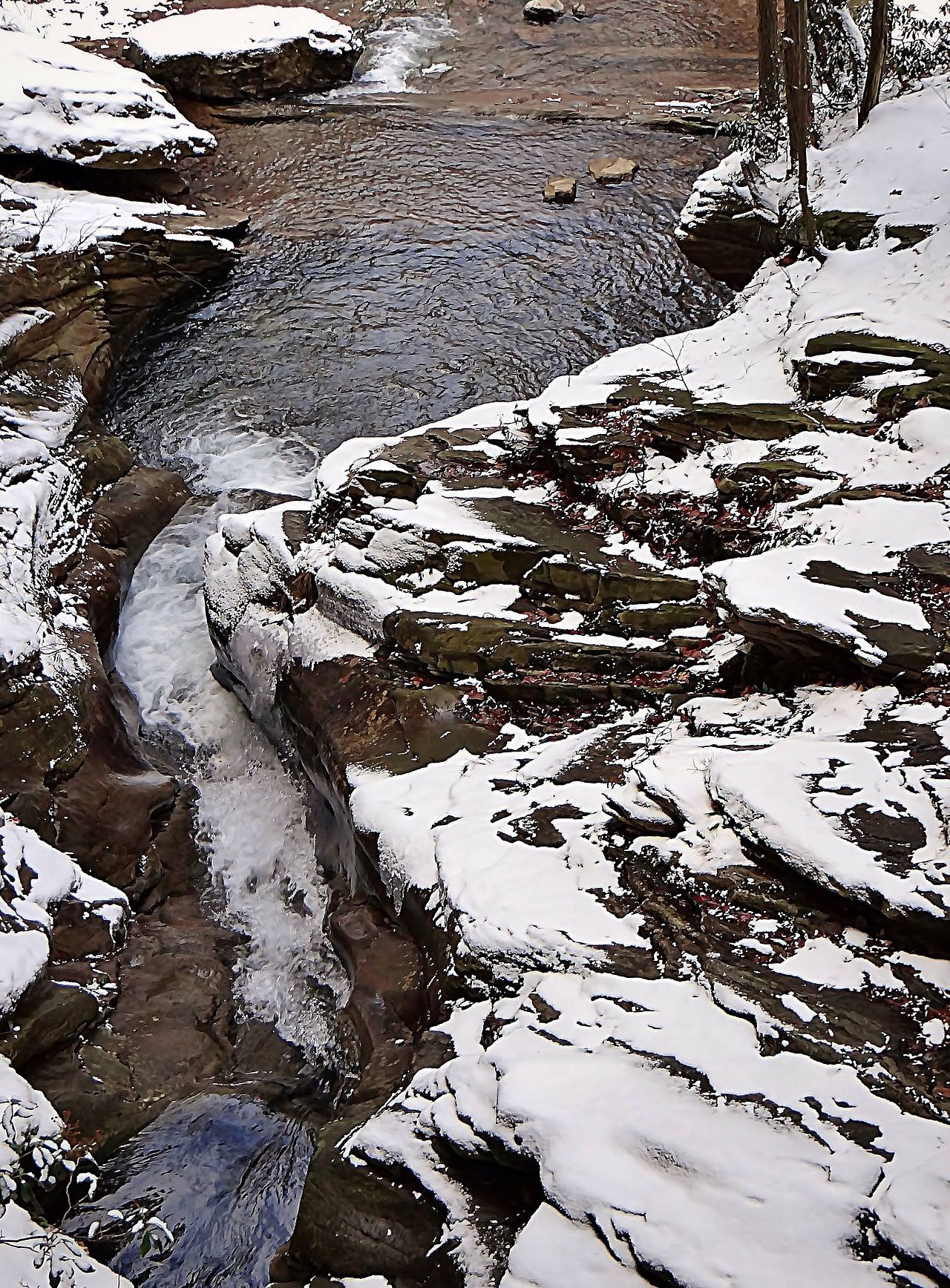
Winter transforms the falls into ice sculptures. Partially frozen waterfalls are dramatic to see, but the trail becomes genuinely hazardous. Full microspikes or crampons are required. The stone steps with ice are the most dangerous version of an already-demanding trail.
Arrive before 9 AM on summer and fall weekends. The parking lot fills and the trail becomes crowded enough to create bottlenecks at the narrower staircase sections.
Ricketts Glen State Park is in northeastern Pennsylvania, about 3 hours from Philadelphia and 2.5 hours from Scranton. The main trailhead for the Falls Trail is at the Lake Rose parking area. A secondary access point exists at the Route 118 trailhead, which shortcuts directly into the gorge for a shorter out-and-back.
No entrance fee. Restrooms are available at the parking area. The park has a campground and lake beach that make it a viable weekend destination beyond just the trail.
Cell service is unreliable in the gorge. Download a trail map before you start. The loop is well-blazed but the junctions can be confusing for first-timers, especially the split between the upper and lower gorge trails.
Dogs are allowed on leash on the entire loop. The wet stone steps are difficult for dogs with smooth paw pads. Large dogs handle it better than small dogs. Your dog will get wet from the waterfall mist — plan accordingly for the car ride home.
Bring trekking poles. On the steep stone staircases, poles provide a third and fourth point of contact that significantly reduces fall risk. Many experienced Ricketts hikers consider poles essential rather than optional for this trail.
Ricketts Glen is the trail that hikers describe with the same word over and over: relentless. The waterfalls never stop coming. The stone steps never stop demanding your attention. And the gorge atmosphere — dark hemlock canopy, mist from the falls, the constant sound of moving water — never stops being atmospheric.
By the tenth waterfall you stop counting and start absorbing. By the fifteenth you understand why people drive hours to hike here. By the twenty-first you are tired, your quads are burning from the stairs, and you have a phone full of waterfall photos that all look slightly different from each other. Ricketts Glen earns every bit of its reputation. Bring the right boots.
LOWA Renegade EVO GTX MidGORE-TEX, 3 widths, resolableCheck price on Amazon →Hydro Flask Wide Mouth 32ozinsulated, durableCheck price on Amazon →Osprey Talon 22ventilated back, pole carryCheck price on Amazon →Adventure Medical Kits Ultralight Watertight .7day-hike specific, waterproofCheck price on Amazon →Black Diamond Spot 400-Rrechargeable, comfortableCheck price on Amazon → Patagonia Torrentshell 3L Jacketdurable, trail + everydayCheck price on Amazon →
 Darn Tough Hiker Micro Crew Midweightlifetime warrantyCheck price on Amazon →
 Black Diamond Pursuit Trekking Polescork grip, lightweightCheck price on Amazon →
 Sawyer Squeeze Water Filterultralight, standard threadsCheck price on Amazon →
_(9290295228).jpg?width=800)


