_(9290295228).jpg?width=800)
Smith’s Knob — The Loyalsock Trail
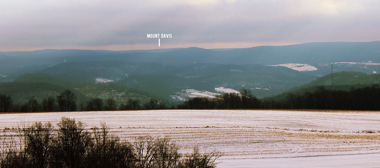
Photo: Nicholas A. Tonelli
(CC via Wikimedia)
 LOWA Renegade EVO GTX MidGORE-TEX, 3 widths, resolableCheck price on Amazon →
 Hydro Flask Wide Mouth 32ozinsulated, durableCheck price on Amazon →
 Osprey Talon 22ventilated back, pole carryCheck price on Amazon →
 Adventure Medical Kits Ultralight Watertight .7day-hike specific, waterproofCheck price on Amazon →
 Black Diamond Spot 400-Rrechargeable, comfortableCheck price on Amazon →
Smith’s Knob at a glance: A 5.5-mile out-and-back to a rock ledge viewpoint on the Loyalsock Trail, with 1,253 feet of climbing through Sullivan County state forest. Strenuous in the way Pennsylvania ridges are strenuous: rocky, root-strewn, and unforgiving in wet weather. Worlds End State Park is the trailhead hub.
The Loyalsock Trail is the Pennsylvania ridge hike that punishes hikers used to graded southern trails. Smith’s Knob is the viewpoint that earns the visit. The 5.5-mile round trip crosses the kind of rocky, root-strewn, uneven terrain that makes the LT feel longer than its mileage suggests, and the rock ledge at the top opens directly over the Loyalsock Creek valley with the kind of view that justifies the climb on its own.
The Loyalsock Trail (LT) runs 59 miles point-to-point through northern Pennsylvania state forest, maintained by the Alpine Club of Williamsport and marked with yellow disk blazes. The Smith’s Knob section is accessed most commonly from Worlds End State Park and the surrounding state forest pullouts. Approach distances to the viewpoint vary by trailhead choice; the most common access points require about 2.5 to 3 miles of climbing each way.
The terrain is classic Pennsylvania ridge: rocky underfoot, root-strewn, with occasional small scrambles up sandstone ledges. The 1,253-foot gain is distributed across the climb but concentrated in the final push to the ridge. There are no switchbacks worth speaking of. The trail goes up the hill the way the original Pioneer Road grade went, and the maintenance is hand-tool minimalist. Hikers consistently describe the trail surface as the surprise factor, with the actual mileage feeling 30% longer than the map suggests because of the rocks and roots.
Smith’s Knob itself is a rock outcrop on the ridge, with views across the Loyalsock Creek valley. The exposure on the ledge is real but not technical; most hikers find a flat seating area within a few steps of the trail. Forest cover dominates the climb up, so the view is concentrated at the top, with little in the way of mid-route overlooks to break up the work.
Strenuous, and the rating earns more from the surface than the elevation. The 1,253 feet of gain over 2.5 miles is comparable to a moderate Catskill summit, but the rocks and roots add ankle work and slow the pace noticeably. Hikers consistently describe the LT as harder than the published numbers suggest, especially after wet weather when the sandstone ledges turn slick.
Most fit hikers reach Smith’s Knob in 90 minutes to 2 hours from the trailhead and complete the round trip in 3 to 4 hours. Trail runners struggle with the rock and root surface; serious ankle support and a willingness to walk carefully are the better strategy. The Alpine Club’s maintenance philosophy is to keep the trail open and let the terrain dictate the experience, which is a feature for most LT hikers and a frustration for hikers expecting state-park-style grooming.
Mid-October is the standout window. The Loyalsock Creek valley fills with the kind of dense hardwood color the Pennsylvania Wilds are known for, and the trail dries out after the typical wet September. The view from Smith’s Knob over peak fall foliage is the postcard image that draws regulars back year after year.
Late spring brings the worst trail conditions, with sustained wet weather and standing water across the lower sections. Summer is manageable but humid, and the canopy keeps the climb hot. Winter turns the LT serious: snow accumulates above 2,000 feet through March, and the rocky surface becomes ice-slick on the descent. Most winter LT hikers carry microspikes as a minimum and add traction on the steeper descents.
Worlds End State Park is the main hub for LT access in the area, with a paved parking lot, restrooms, and a visitor center. Day hikers can use the lot directly; anyone leaving a car overnight needs to fill out a permit at the visitor center first, which keeps the state park rangers from running plate checks against missing-person reports. Additional state forest pullouts along Route 87 and Mead Road give shorter access to the LT sections in the Smith’s Knob corridor. Cell service is essentially nonexistent across Sullivan County; download offline maps before the drive in.
Forksville is the nearest small town, with the Forksville General Store as the local hub for coffee, sandwiches, and any forgotten gear. Dushore and Laporte to the south have gas and a few restaurants. There are no facilities along the trail and no reliable water beyond the streams the LT crosses, which should be filtered before drinking. Black bears are common; standard food and trash management at the trailhead matters.
The Loyalsock Trail is the Pennsylvania ridge experience for hikers who have done the Catskills and want a different kind of work. Hikers consistently describe Smith’s Knob as the right introduction to the LT: short enough to commit to as a day hike, with enough rocky and rooted terrain to give a real sense of what the full 59-mile point-to-point asks for. The view from the rock ledge is the payoff, and hikers regularly report that the climb feels worth it the moment the canopy opens.
The Loyalsock corridor is also one of the quieter hiking destinations in the Pennsylvania Wilds, and the trail’s volunteer-maintained character keeps it that way. Regulars know to leave the Forksville area better than they found it, and the Alpine Club’s posted volunteer days are a low-effort way for repeat visitors to give back. For day-trippers from Philadelphia, Harrisburg, or the DC corridor, Smith’s Knob is the LT’s accessible highlight reel: the section that captures what’s good about Pennsylvania ridge hiking without committing to the full thru-hike.
Hikers with two days to spend in the area often pair Smith’s Knob with the Canyon Vista Trail loop and an overnight at one of the Worlds End cabins. Canyon Vista is the marquee overlook in the corridor, accessed from the same Worlds End trailhead via the Loyalsock-Link Trail Loop, and the combined day at Smith’s Knob and Canyon Vista is the standard introduction to the Pennsylvania Wilds for hikers coming from the Mid-Atlantic. Backpackers willing to commit to a section hike can stage an 18-mile clockwise loop that connects Smith’s Knob, Iron Bridge, the Sones Pond campsites, and Cold Run Road, returning to Worlds End State Park via the Link Trail.
LOWA Renegade EVO GTX MidGORE-TEX, 3 widths, resolableCheck price on Amazon →Hydro Flask Wide Mouth 32ozinsulated, durableCheck price on Amazon →Osprey Talon 22ventilated back, pole carryCheck price on Amazon →Adventure Medical Kits Ultralight Watertight .7day-hike specific, waterproofCheck price on Amazon →Black Diamond Spot 400-Rrechargeable, comfortableCheck price on Amazon → Patagonia Torrentshell 3L Jacketdurable, trail + everydayCheck price on Amazon →
 Darn Tough Hiker Micro Crew Midweightlifetime warrantyCheck price on Amazon →
 Black Diamond Pursuit Trekking Polescork grip, lightweightCheck price on Amazon →
 Sawyer Squeeze Water Filterultralight, standard threadsCheck price on Amazon →