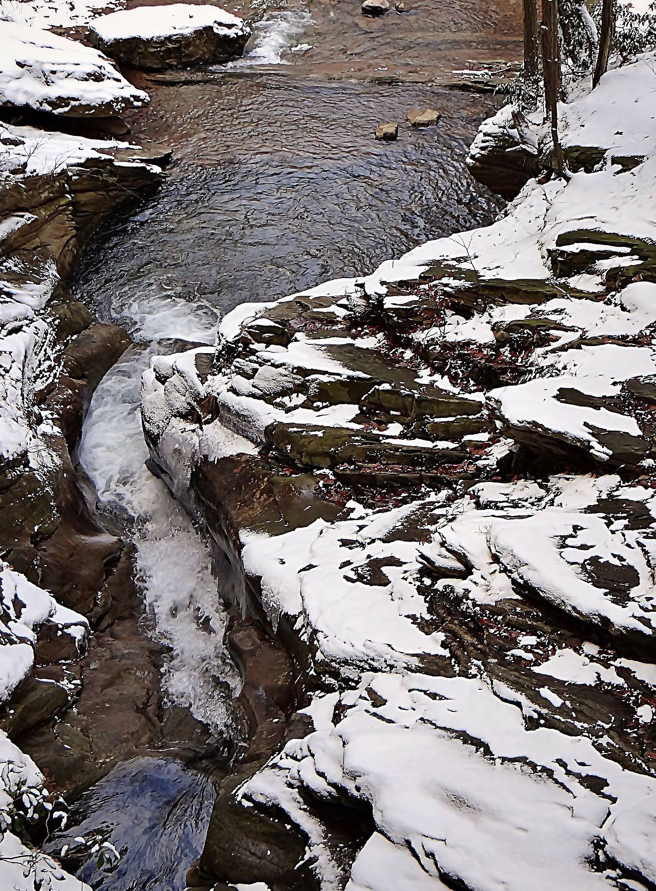
The Haystacks — Loyalsock Trail
Photo: Wikimedia Commons
(CC via Wikimedia)
 LOWA Renegade EVO GTX MidGORE-TEX, 3 widths, resolableCheck price on Amazon →
 Hydro Flask Wide Mouth 32ozinsulated, durableCheck price on Amazon →
 Osprey Talon 22ventilated back, pole carryCheck price on Amazon →
 Adventure Medical Kits Ultralight Watertight .7day-hike specific, waterproofCheck price on Amazon →
 Black Diamond Spot 400-Rrechargeable, comfortableCheck price on Amazon →
The Haystacks at a glance: A 5 to 8-mile out-and-back along the Loyalsock Trail to The Haystacks, a series of sandstone ledges with open views over the Loyalsock Creek gorge. Dutchman Falls and several smaller cascades along the way. Moderate, with the standard Loyalsock Trail mud-and-rocks character. Best treated as a 3 to 4-hour day or a one-night backpack from Worlds End State Park.
The Haystacks are the open ledges on the Loyalsock Trail that justify the LT’s reputation as one of Pennsylvania’s underrated long trails. A series of stepped sandstone outcrops rise from the ridge above the Loyalsock Creek gorge, providing the kind of expansive open views that the rest of the LT corridor mostly hides under canopy. The trail in is a moderate climb with Dutchman Falls and several smaller cascades along the way. The ledges are the destination.
The Worlds End State Park visitor lot is the standard starting point. From the lot, the route follows the Loyalsock Trail east through hemlock and rhododendron, crossing several small streams in the first mile. Dutchman Falls is the first major feature, a series of small cascades that the trail crosses on a footbridge with views of the upper falls. The trail continues through the LT’s classic terrain: rocky, root-strewn, and minimally graded.
The climb to the Haystacks begins about 1.5 miles in. The grade is steady but not punishing, with the trail surface transitioning to drier ridge tread as it gains elevation. Hikers reaching the ledges find a series of broad, flat sandstone outcrops with open views west over the Loyalsock Creek valley and the ridges beyond. The ledges themselves are wide enough for a long lunch and safe at the edges; the exposure is real but not technical.
Two loop variations exist for hikers wanting more distance. The shorter loop returns via the Link Trail through Worlds End State Park, totaling about 5 miles. The longer option continues along the LT past the Canyon Vista overlook, adding another 3 miles and the headline Worlds End SP viewpoint. Both involve the standard Loyalsock Trail navigation complexity, where junctions are signed but not always intuitive on the first visit.
Moderate, with the same caveat that applies to every Loyalsock Trail section: the trail surface adds difficulty that the mileage and elevation profile do not capture. The roughly 600 to 1,000 feet of climbing over the route is steady, but the rocky and root-strewn tread slows hikers significantly compared to a state park surface.
Most fit hikers complete the standard 5-mile loop to the Haystacks and back in 3 hours, including time at the ledges. The longer 7 to 8-mile combination with Canyon Vista runs 4 to 5 hours. Hikers consistently describe the LT as feeling 30 percent longer than the map suggests because of the surface work, and the Haystacks section is no exception.
Stream crossings add the seasonal variable. Spring high water makes the crossings genuinely tricky on the lower trail, with hikers consistently advising against the route in or right after heavy rain. Wet rock on the sandstone ledges adds risk that does not appear in summer or fall conditions.
Mid-October is the standout window. The Loyalsock Creek valley fall color from the Haystacks ledges is one of the better Pennsylvania Wilds views, with the canopy turning bright against the dark hemlock-rhododendron interior of the gorge. Late September through mid-October is the long reliable color window for Sullivan County.
Spring brings the worst trail conditions on the LT. The lower stream crossings hold high water through May, and the rocky upper sections turn slippery in wet weather. Summer is humid under the dense canopy, and bug pressure peaks in late June and early July. Winter access works with full layers and traction; the ledges become a different kind of view once the canopy drops.
Worlds End State Park is the main hub for the route, with a paved parking lot, restrooms at the visitor center, and trail signage at the trailhead. The day-use fee is the Pennsylvania state park standard, with annual passes covering visitors. Cell service ends near the visitor center and stays patchy throughout the LT corridor.
The trail is well-marked with the standard yellow disk Loyalsock Trail blazes, supplemented by red blazes for the Link Trail and orange for connector trails. Carry a printed map or download an offline track; the LT’s blazing is reliable but the connector junctions in the gorge can confuse first-time visitors. Bring water filtration for longer trips; the Loyalsock Creek and its tributaries are the primary water source.
Forksville is the nearest town with the Forksville General Store as the local food and supply stop. Dushore to the south has a few additional restaurants. The trail is approximately 2.5 hours from Philadelphia and 3.5 hours from Washington DC, which makes it a logical anchor for a Pennsylvania Wilds weekend. Overnight backpackers can extend the visit using the Loyalsock Trail lean-tos at Sones Pond and Cold Run Road, both a further day’s walk east along the LT.
The Haystacks are the rare Pennsylvania trail section where the destination overshadows the approach. Hikers consistently describe the sandstone ledges as the standout feature of the entire Loyalsock Trail, with the open views from the broad outcrops providing a contrast to the canopy-covered character of the rest of the corridor. The Dutchman Falls along the way add a second highlight, with the small cascades visible from the trail and accessible via short side scrambles.
The route is also one of the better introductions to the broader Loyalsock Trail for hikers new to the corridor. The combination of Worlds End State Park’s improved facilities at the trailhead and the LT’s characteristic rocky-rooted tread on the climb gives a representative sample of what the full 59-mile point-to-point demands. For visitors driving from Philadelphia, Harrisburg, or the DC corridor, The Haystacks is the LT section that justifies the trip on its own.
LOWA Renegade EVO GTX MidGORE-TEX, 3 widths, resolableCheck price on Amazon →Hydro Flask Wide Mouth 32ozinsulated, durableCheck price on Amazon →Osprey Talon 22ventilated back, pole carryCheck price on Amazon →Adventure Medical Kits Ultralight Watertight .7day-hike specific, waterproofCheck price on Amazon →Black Diamond Spot 400-Rrechargeable, comfortableCheck price on Amazon → Patagonia Torrentshell 3L Jacketdurable, trail + everydayCheck price on Amazon →
 Darn Tough Hiker Micro Crew Midweightlifetime warrantyCheck price on Amazon →
 Black Diamond Pursuit Trekking Polescork grip, lightweightCheck price on Amazon →
 Sawyer Squeeze Water Filterultralight, standard threadsCheck price on Amazon →
_(9290295228).jpg?width=800)