LOWA Renegade EVO GTX MidGORE-TEX, 3 widths, resolableCheck price on Amazon →
 Hydro Flask Wide Mouth 32ozinsulated, durableCheck price on Amazon →
 Osprey Talon 22ventilated back, pole carryCheck price on Amazon →
 Adventure Medical Kits Ultralight Watertight .7day-hike specific, waterproofCheck price on Amazon →
 Black Diamond Spot 400-Rrechargeable, comfortableCheck price on Amazon →
Chimney Tops at a glance: A short but steep 3.7-mile out-and-back near Gatlinburg that climbs relentlessly to a lookout with a dramatic view of the rocky pinnacles. Rated challenging, and the difficulty is all in the grade: the upper half is a sustained staircase climb. Note that the final rock scramble to the summit pinnacles has been closed since the 2016 wildfire, so the trail now ends at a rebuilt observation point. Reserve a parking tag and go early, since the lot fills fast.
Chimney Tops packs one of the steepest climbs in the Great Smoky Mountains into a short distance, which is exactly why it has drawn hikers by the thousands for generations. The reward is a close-up view of the distinctive twin rock pinnacles that give the trail its name, set against the surrounding peaks. Hikers rate it highly for the payoff relative to its length, with two consistent themes: it is a genuine leg-burner, and the trail no longer reaches the very top the way it once did.
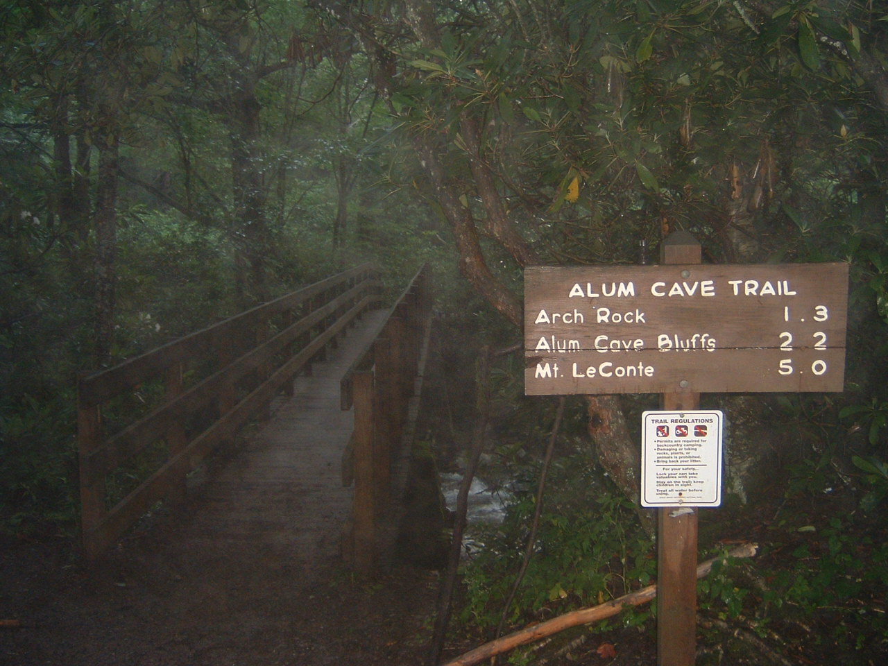
The hike starts along Walker Camp Prong and Road Prong, crossing the water on footbridges through lush forest in its lower stretch. This opening section is pleasant and moderate, following the streams and giving little hint of what is coming. Hikers consistently describe the first portion as the easy warm-up before the trail turns sharply uphill.
The second half is where Chimney Tops earns its reputation. The trail pitches up steeply and climbs a long series of stone and timber steps, rebuilt in recent years, that gain elevation quickly and leave most hikers stopping to catch their breath. It is a short climb by mileage but a demanding one, and the staircase is the defining memory for nearly everyone who does it.
Near the top the trail reaches a constructed observation point with a striking view of the Chimney Tops pinnacles and the ridges beyond. Importantly, the bare rock scramble to the very tops of the pinnacles has been closed since the 2016 wildfire that burned this area, and the pinnacles themselves are off-limits for safety. The trail itself reopened in late 2017 after major reconstruction of the fire- and storm-damaged path, which is why the stone steps feel notably newer than the old forest around them. Hikers who remember scrambling the bare rock sometimes miss it, but the rebuilt lookout keeps the essential view intact. The lookout still delivers the view that makes the climb worthwhile, and hikers who understand the trail ends here rather than on the rock come away satisfied.
Challenging is an honest rating despite the short distance. The elevation gain is concentrated into the upper half, and the sustained stair climbing is what makes it tough, particularly on the way up. Hikers regularly note that the mileage undersells the effort, and that the trail is a real workout for anyone not used to steep, continuous climbing.
Conditions add some variables. The stone steps and lower creek sections can be muddy and slick after rain, and the trail ices up in winter, when traction becomes useful on the steep pitches. Most hikers finish the round trip in around two to three hours, and the descent, while faster, is hard on the knees given how steep the upper trail is. The honest summary is a short, steep, rewarding climb that asks more of your legs than its length suggests.
The prime window is March through November, with spring and fall the standouts. Spring brings wildflowers and running water in the lower creek sections, while fall pairs the climb with color across the surrounding ridges and the clearest views from the lookout. Summer is popular and green but can be hot on the exposed upper steps, and afternoon storms build quickly at elevation.
Winter turns the steep upper trail icy and demands traction and caution, though it also brings solitude and long views through the bare trees. Whatever the season, an early start is the single most valuable habit here, both to secure a parking spot and to climb the steep steps before the midday heat or crowds. A clear day is what makes the pinnacle view pay off.
Parking is the first hurdle. The Chimney Tops trailhead sits on Newfound Gap Road with a medium-sized lot that fills early on nice days, so plan to arrive early or expect to circle. The Great Smoky Mountains now requires a paid parking tag for any stop longer than 15 minutes, so buy one in advance and display it.
Dogs are not allowed on this trail, in keeping with the park-wide rule on nearly all Smokies footpaths, and this is active bear country, so follow standard bear-aware practices. There is no reliable water once you start climbing, so carry what you need, especially in summer. Bring sturdy shoes with grip for the steps, and set your expectations for a lookout finish rather than a summit scramble.
The trailhead is a short drive from Gatlinburg along Newfound Gap Road, which makes it easy to combine with other stops in the park or a scenic drive over the gap. Given how steep and popular it is, treating Chimney Tops as a focused morning climb rather than a leisurely stroll is the way to enjoy it at its best.
Chimney Tops earns strong marks from the many people who climb it, with the large majority rating it worth the effort and singling out the pinnacle view as the highlight. The recurring notes are consistent: expect a steep staircase rather than a gentle walk, know that the pinnacles themselves are closed, and come early for parking on the steep, popular route.
That is the fair summary of this Smokies classic. It is short, it is steep, and even with the summit scramble closed, the lookout view of the pinnacles remains a genuine reward. Reserve a parking tag, start early, and pace yourself on the steps, and Chimney Tops delivers a big payoff for a compact but demanding climb.
LOWA Renegade EVO GTX MidGORE-TEX, 3 widths, resolableCheck price on Amazon →Hydro Flask Wide Mouth 32ozinsulated, durableCheck price on Amazon →Osprey Talon 22ventilated back, pole carryCheck price on Amazon →Adventure Medical Kits Ultralight Watertight .7day-hike specific, waterproofCheck price on Amazon →Black Diamond Spot 400-Rrechargeable, comfortableCheck price on Amazon → Patagonia Torrentshell 3L Jacketdurable, trail + everydayCheck price on Amazon →
 Darn Tough Hiker Micro Crew Midweightlifetime warrantyCheck price on Amazon →
 Black Diamond Pursuit Trekking Polescork grip, lightweightCheck price on Amazon →
 Sawyer Squeeze Water Filterultralight, standard threadsCheck price on Amazon →