LOWA Renegade EVO GTX MidGORE-TEX, 3 widths, resolableCheck price on Amazon →
 Hydro Flask Wide Mouth 32ozinsulated, durableCheck price on Amazon →
 Osprey Talon 22ventilated back, pole carryCheck price on Amazon →
 Adventure Medical Kits Ultralight Watertight .7day-hike specific, waterproofCheck price on Amazon →
 Black Diamond Spot 400-Rrechargeable, comfortableCheck price on Amazon →
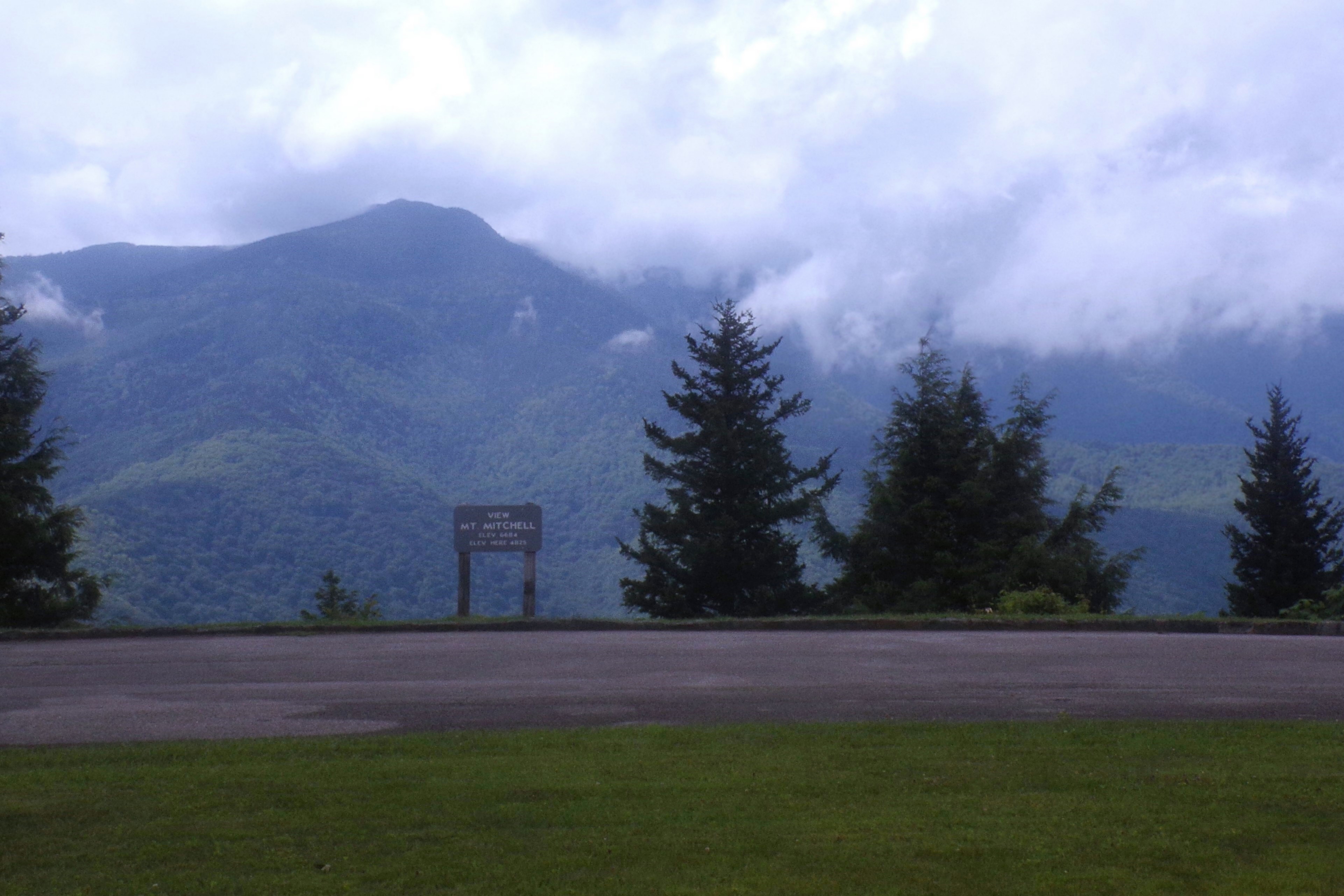
Craggy Gardens is the closest worthwhile BRP hike to Asheville — about 18 miles north on the parkway, near milepost 364.6. The main hike is a 1.5-mile round trip to Craggy Pinnacle, the high point at 5,892 feet, where a rocky summit with almost no trees gives you panoramic views over the surrounding ridges, downtown Asheville to the south, and Mount Mitchell to the north.
The trail climbs through dense rhododendron tunnels and heath balds before breaking out onto the open rocky summit. In mid-June, those rhododendrons explode into pink and purple. The Catawba rhododendron bloom at Craggy Gardens is one of the signature natural events on the entire parkway — it’s heavily photographed and legitimately as good as advertised. Outside bloom season, the summit views alone justify the 45-minute drive from town. There’s also a lower Craggy Flats trail that wanders through the heath meadows and old-growth spruce-fir forest if you want more mileage.
Moderate for a 1.5-mile round trip. The trail gains 350 feet from the Craggy Dome parking area, with a steeper push in the final quarter-mile to the open summit. The rocky terrain near the top requires some attention, and the rocks can be slick after rain. Nothing technical, but the elevation (above 5,500 feet the whole way) makes some people feel it more than expected. The Craggy Flats trail is easier — a gentler walk through the meadow and spruce forest below the summit.
Mid-June for the rhododendron peak, which typically runs from June 10 through June 25 depending on the year. Check BRP social channels for bloom reports before making the trip. Fall is outstanding too — the surrounding ridges at this elevation change two to three weeks before Asheville. Late October can see snow. Winter closes sections of the parkway near here regularly, and the road may be gated from November through March. Early morning visits in summer avoid both heat and the crowds that fill the small parking area by 10am.
The Craggy Dome Overlook parking area is at BRP milepost 364.6. Small lot, maybe 20 cars. No fee, no permits. The Craggy Gardens Picnic Area a mile south has restrooms and larger parking. Cell service is poor at this elevation. Temperatures at 5,800 feet are reliably cooler than Asheville — bring an extra layer even in summer, especially for the exposed summit. Dogs on leash are allowed. No water on the trail. The trail is well-blazed, but check NPS for conditions if you’re visiting outside of peak season.
LOWA Renegade EVO GTX MidGORE-TEX, 3 widths, resolableCheck price on Amazon →Hydro Flask Wide Mouth 32ozinsulated, durableCheck price on Amazon →Osprey Talon 22ventilated back, pole carryCheck price on Amazon →Adventure Medical Kits Ultralight Watertight .7day-hike specific, waterproofCheck price on Amazon →Black Diamond Spot 400-Rrechargeable, comfortableCheck price on Amazon → Patagonia Torrentshell 3L Jacketdurable, trail + everydayCheck price on Amazon →
 Darn Tough Hiker Micro Crew Midweightlifetime warrantyCheck price on Amazon →
 Black Diamond Pursuit Trekking Polescork grip, lightweightCheck price on Amazon →
 Sawyer Squeeze Water Filterultralight, standard threadsCheck price on Amazon →