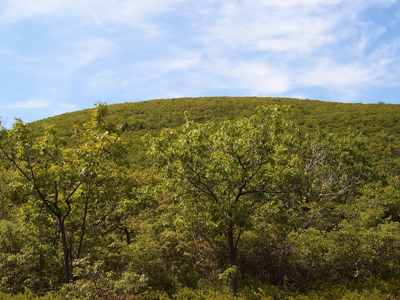
Higby Mountain
Photo: Pi.1415926535
(CC via Wikimedia)
 LOWA Renegade EVO GTX MidGORE-TEX, 3 widths, resolableCheck price on Amazon →
 Hydro Flask Wide Mouth 32ozinsulated, durableCheck price on Amazon →
 Osprey Talon 22ventilated back, pole carryCheck price on Amazon →
 Adventure Medical Kits Ultralight Watertight .7day-hike specific, waterproofCheck price on Amazon →
 Black Diamond Spot 400-Rrechargeable, comfortableCheck price on Amazon →
The cliff walk along Higby Mountain’s first ridge is one of Connecticut‘s best kept secrets — a half-mile stretch where you’re basically walking the edge of a 400-foot precipice with the Connecticut River Valley spread out below you. It’s the kind of exposed scrambling you’d expect to find in New Hampshire, not 20 minutes from Middletown.
The Mattabesett Trail takes you up through typical Connecticut hardwood forest for the first mile — nothing special, just steady climbing over roots and rocks. But then you hit the ridge and everything changes. You’ll emerge onto open ledges with dramatic drop-offs to your right and sweeping views across the valley. The trail hugs these cliffs for about a half mile, sometimes running right along the edge, sometimes giving you the option to stay back in the trees if heights aren’t your thing.
The rocky scrambling along this section is the real draw — you’re picking your way across slabs and ledges with serious exposure. It’s not technical, but you’ll want to pay attention to your footing. After the cliff walk, the trail continues over a second hill with another 200 feet of climbing. The views up here are more limited — mostly westward glimpses — but I’m told if you push another half mile past the obvious turnaround point, you’ll find northward views toward the Metacomet Ridge.
One thing to know: this isn’t a quiet wilderness experience. Interstate 91 runs through the valley below and the traffic noise carries up the ridge pretty much the entire hike. During cicada years, it’s even louder — though honestly, the views are good enough that you’ll forget about the noise once you’re on those cliffs.
The 900 feet of elevation gain is spread out nicely, so the climbing never feels brutal. The challenge here is the exposure along the ridge — if you’re not comfortable with drop-offs, this might stress you out. The rock scrambling is straightforward but demands attention, especially if it’s been wet. I’d call this a solid intermediate hike that borders on easy if you stay away from the cliff edges.
Fall is obvious — the valley views are spectacular when the maples are firing. But I actually prefer this trail in late winter or early spring when the leaves are down and you can see the full extent of the river valley. Summer works too, though you’ll be sharing the ledges with more people. Hit it early morning for the best light on the cliffs and fewer crowds on what’s becoming a pretty popular trail.
Park at the small pullout on Higby Road — it’s well-marked with blue Mattabesett Trail blazes. No fees, but space is limited to maybe 8-10 cars. Cell service is spotty once you’re up on the ridge. Bring water — there are no reliable sources along the trail. Middletown is your closest town for food and gas, about 15 minutes away. The drive from DC is a haul at just over four hours, but if you’re already exploring Connecticut’s Metacomet Ridge, this cliff walk is worth adding to the itinerary.
LOWA Renegade EVO GTX MidGORE-TEX, 3 widths, resolableCheck price on Amazon →Hydro Flask Wide Mouth 32ozinsulated, durableCheck price on Amazon →Osprey Talon 22ventilated back, pole carryCheck price on Amazon →Adventure Medical Kits Ultralight Watertight .7day-hike specific, waterproofCheck price on Amazon →Black Diamond Spot 400-Rrechargeable, comfortableCheck price on Amazon → Patagonia Torrentshell 3L Jacketdurable, trail + everydayCheck price on Amazon →
 Darn Tough Hiker Micro Crew Midweightlifetime warrantyCheck price on Amazon →
 Black Diamond Pursuit Trekking Polescork grip, lightweightCheck price on Amazon →
 Sawyer Squeeze Water Filterultralight, standard threadsCheck price on Amazon →