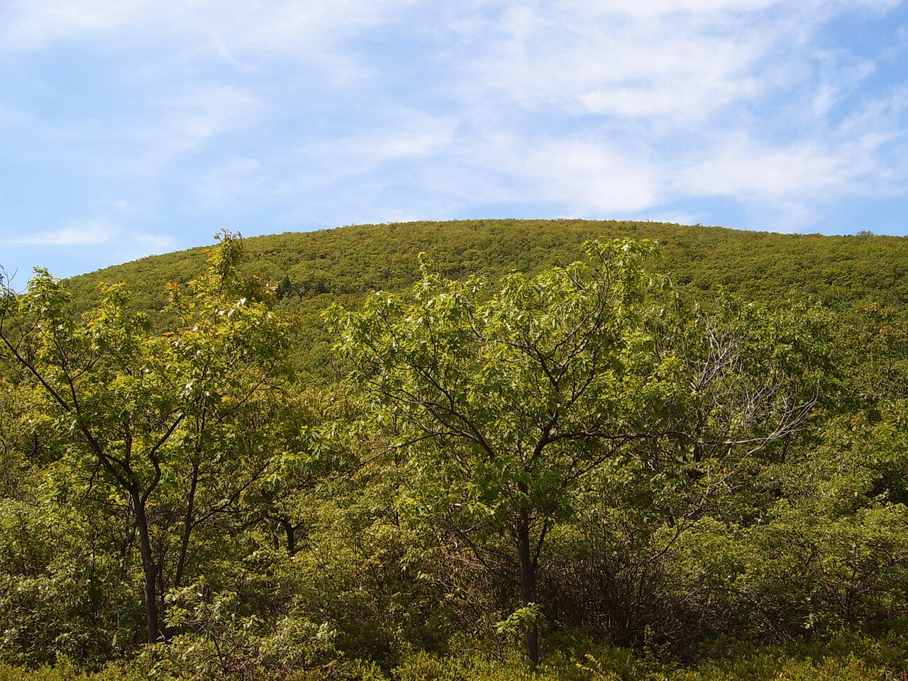
Talcott Mountain — Heublein Tower
Photo: Ragesoss
(CC via Wikimedia)
 LOWA Renegade EVO GTX MidGORE-TEX, 3 widths, resolableCheck price on Amazon →
 Hydro Flask Wide Mouth 32ozinsulated, durableCheck price on Amazon →
 Osprey Talon 22ventilated back, pole carryCheck price on Amazon →
 Adventure Medical Kits Ultralight Watertight .7day-hike specific, waterproofCheck price on Amazon →
 Black Diamond Spot 400-Rrechargeable, comfortableCheck price on Amazon →
Talcott Mountain at a glance: A 5.3-mile loop near Simsbury climbing the traprock ridge to Heublein Tower, a 165-foot landmark with panoramic views over the Farmington Valley. Rated moderate, and the real hazard is mud rather than steepness, as the trail is one of the muddiest in the region after rain. Parking is free, dogs are welcome on leash, and the tower is open seasonally, so timing your visit for dry ground and open-tower months makes the difference.
Talcott Mountain is one of central Connecticut‘s most recognizable hikes, thanks to the slender Heublein Tower that rises from its ridge and can be seen for miles across the Farmington Valley. The full loop climbs the traprock spine, runs the cliff-edge ridge past sweeping overlooks, and reaches the tower before circling back. Hikers rate it highly for the views and the payoff at the top, with one consistent warning that colors nearly every trip report: this trail gets muddy, and mud is the thing to plan around.
The loop follows the blue-blazed Metacomet Trail up onto the ridge and along the top of Talcott Mountain’s traprock cliffs. The ridge walk is the highlight, with a series of open ledges that drop away to the valley and long views west toward the hills of Massachusetts and south toward Hartford. The trail is well marked and well trodden, and hikers appreciate that the navigation is straightforward once you are on the ridge.
The centerpiece is Heublein Tower, a 165-foot tower completed in 1914 as part of a hilltop estate and now the park’s signature destination. When it is open, usually in the warmer months, you can climb it for a panorama that stretches across four states on the clearest days, taking in the Farmington River valley, the Hartford skyline, and the distant ridges. Even when the tower is closed, the ledges along the ridge deliver excellent views on their own.
Note that there is a much shorter, more direct route to the tower that many families use, roughly a mile and a quarter each way. The 5.3-mile loop is the longer option, adding ridge mileage and connector trails for a fuller half-day outing. Choosing between them is really a choice about how much trail time you want, since both end at the same landmark.
Moderate is accurate, but the difficulty is not what most people expect. The climbing is steady rather than severe, and the ridge itself is relatively level once you gain it, so the elevation is not the crux. The crux is footing. Hikers describe long stretches of mud after rain and snowmelt, with slick rock and standing water in the low spots, and this is far and away the most common theme in trip reports.
The takeaway is that Talcott is an easy trail to enjoy and an easy one to misjudge. In dry conditions it is a pleasant, moderate loop that most reasonably fit hikers handle in about two to two and a half hours. After a wet spell it becomes a slog of mud and slippery traprock that demands waterproof footwear and patience. Timing the hike for dry ground is the single biggest factor in how the day goes.
March through November is the prime window, and the sweet spots are early summer through fall once the spring mud has dried out. Fall is especially rewarding here: the ridge is a well-known spot for watching hawk migration, and the foliage across the Farmington Valley is spectacular from the ledges and the tower. Crisp autumn air also delivers the clearest, longest views of the year.
Spring is the season to approach with caution, since snowmelt and rain turn the trail into its muddiest self. Summer is green and popular, with the tower reliably open, though the exposed ledges can be warm at midday. Winter brings quiet and the chance of ice on the traprock, along with a closed tower, so cold-season visits are best treated as a ridge walk for the views rather than a tower climb.
Check whether Heublein Tower is open before you go if climbing it is the goal, since it keeps seasonal hours and is the main draw for many visitors. Parking is free and generally easy at the state park lot, and there are restrooms near the trailhead, which makes it a comfortable family destination once conditions cooperate.
Waterproof boots are the smartest thing you can bring, given how central mud is to the experience. Carry water, since the ridge is exposed and there is no resupply along the way, and keep dogs leashed as the park requires. The trail is well marked, but note where the longer loop diverges from the short tower route so you end up on the version you intended rather than accidentally shortcutting or overshooting.
Talcott Mountain sits within easy reach of Hartford and the Simsbury area, which makes it a convenient outing rather than a remote trek. Pairing the hike with the tower when it is open turns a good ridge walk into a memorable one, and the valley views from the top are the reason this modest mountain has stayed a regional favorite for generations.
Talcott Mountain earns consistently good marks, with the large majority of hikers rating it a rewarding loop and pointing to the tower and ridge views as the highlight. The single most repeated piece of advice is about the mud: hikers who came in waterproof boots and timed their visit for dry conditions had the pleasant version of the hike, while those who hit it after rain remember the slog more than the scenery.
That is the honest read on Talcott. The views from Heublein Tower and the ridge ledges are genuinely excellent, the climbing is moderate and manageable, and the mud is the variable that makes or breaks the day. Time it for dry ground and an open tower, wear the right boots, and Talcott Mountain delivers a rewarding half-day loop with some of the best valley views in central Connecticut.
LOWA Renegade EVO GTX MidGORE-TEX, 3 widths, resolableCheck price on Amazon →Hydro Flask Wide Mouth 32ozinsulated, durableCheck price on Amazon →Osprey Talon 22ventilated back, pole carryCheck price on Amazon →Adventure Medical Kits Ultralight Watertight .7day-hike specific, waterproofCheck price on Amazon →Black Diamond Spot 400-Rrechargeable, comfortableCheck price on Amazon → Patagonia Torrentshell 3L Jacketdurable, trail + everydayCheck price on Amazon →
 Darn Tough Hiker Micro Crew Midweightlifetime warrantyCheck price on Amazon →
 Black Diamond Pursuit Trekking Polescork grip, lightweightCheck price on Amazon →
 Sawyer Squeeze Water Filterultralight, standard threadsCheck price on Amazon →