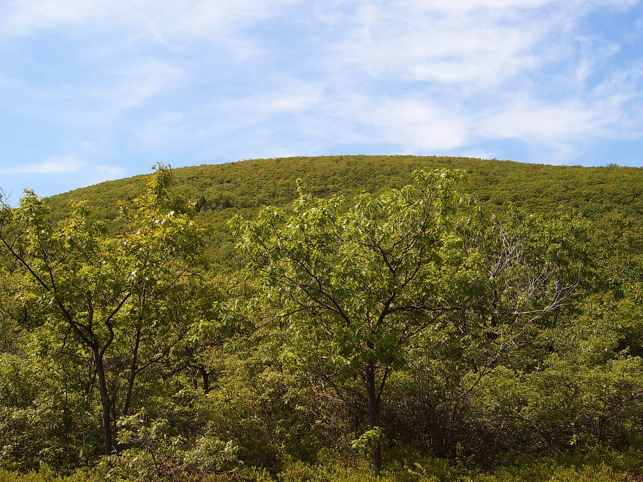
Bear Mountain — Connecticut Highpoint
Photo: Heatkernel at English Wikipedia
(CC via Wikimedia)
 LOWA Renegade EVO GTX MidGORE-TEX, 3 widths, resolableCheck price on Amazon →
 Hydro Flask Wide Mouth 32ozinsulated, durableCheck price on Amazon →
 Osprey Talon 22ventilated back, pole carryCheck price on Amazon →
 Adventure Medical Kits Ultralight Watertight .7day-hike specific, waterproofCheck price on Amazon →
 Black Diamond Spot 400-Rrechargeable, comfortableCheck price on Amazon →
Bear Mountain at a glance: A 6.2-mile loop to the summit of Connecticut’s highest peak at 2,316 feet, topped by a large stone monument with views into three states. Rated challenging, with a steep, rocky scramble near the summit that is the crux of the day. Direction matters, so decide clockwise versus counterclockwise before you start, and give yourself a full half-day for this rugged corner of the northwest hills.
Bear Mountain is the highest peak in Connecticut, crowned by a distinctive stone monument built more than a century ago, and its summit loop is the premier mountain hike in the state’s northwest corner. The route climbs through forest to an open, rocky summit with wide views across the tri-state region where Connecticut, Massachusetts, and New York meet. Hikers rate it highly for the summit payoff and the genuine sense of a mountain climb, with a consistent theme running through the reviews: the scramble near the top, and the direction you choose to hike it, define the experience.
The standard loop combines the Undermountain Trail with a stretch of the Appalachian Trail to reach the summit and return by a different route. The lower sections climb steadily through pleasant hardwood forest, gaining elevation at a manageable grade that builds toward the more demanding upper mountain. This forested approach makes up much of the distance and sets an honest, steady rhythm for the day.
The defining feature is the rocky scramble near the summit. On the steeper side of the loop, the trail climbs over and around large rocks in a hands-on scramble that is the crux of the hike, and it is the single most discussed element in trip reports. Reaching the top rewards you with the stone monument that marks Connecticut’s high point and open views across the ridges and valleys of three states on a clear day. The summit monument is a large dry-stone cairn first raised in the 1880s to mark the state’s high point, and it makes an unmistakable landmark to aim for as you top out of the scramble.
Which way you go makes a real difference. Reviews are split between clockwise and counterclockwise, with strong opinions on whether the steep rocky section is better climbed up or descended, since scrambling down the rock is harder and more hazardous than climbing it. Reading a recent trip report and deciding your direction deliberately, rather than by chance, is the most repeated piece of advice for this loop.
Challenging is the right call, and the difficulty is concentrated in the rocky summit scramble rather than spread evenly across the miles. Much of the loop is a steady forest climb well within reach of a reasonably fit hiker, but the hands-on rock section near the top demands care, balance, and a willingness to use your hands. Most hikers take around four to five hours for the full loop.
Conditions raise the stakes on the rock. The scramble becomes slick and more dangerous when wet, and snow or ice lingers into the shoulder seasons up high, so traction and dry conditions matter for the steep section. Bugs can be heavy in early summer on the forested lower trail. The honest read is a rewarding, genuinely mountainous hike whose crux rewards respect, especially in poor weather or on the descent.
The prime window runs March through November, with fall a standout for crisp air and sweeping tri-state color from the summit. Summer is popular and green, with shade on the forested climb, though the early-summer bugs are a real factor and an early start helps beat both insects and heat. Spring brings the forest to life but leaves mud and lingering ice on the upper scramble well into the season.
Winter turns the loop into a serious outing, with the summit scramble iced over and genuinely hazardous, best left to well-equipped hikers with traction. Snow can hold on the high rock into spring, so early-season hikers should be prepared. In any season, dry conditions on the scramble and a clear day for the summit view are what make the hike both safest and most rewarding.
Parking is at the Undermountain Trail lot off Route 41 near Salisbury, which is free and fills on nice weekends, so an early arrival is the reliable strategy. There are no services at the trailhead, so carry water and food for a half-day hike, and there is no reliable water once you begin climbing.
Wear sturdy footwear with good grip for the rocky scramble, and trekking poles help on the steep forested descent, though you will want your hands free on the rock itself. Dogs are welcome and may be off-leash in some areas, but the summit scramble is demanding for pets and not every dog is suited to it. Bring bug protection in the warmer months and a layer for the exposed, breezy summit.
Bear Mountain sits in the Taconic range near Salisbury, in Connecticut’s rugged northwest hills close to the Massachusetts border, an area rich with Appalachian Trail miles and other peaks. Many hikers pair it with nearby Sages Ravine or extend onto the AT toward Massachusetts, but on its own the summit loop is a satisfying, self-contained climb to the roof of Connecticut.
Bear Mountain earns strong marks from the people who hike it, with the large majority rating it a rewarding climb and pointing to the summit monument and tri-state views as the reward for the effort. The steady refrain is about the scramble and the direction: come ready for a hands-on rock section, and choose clockwise or counterclockwise deliberately rather than by chance.
That is the honest read on Connecticut’s highest peak. It is a genuine mountain hike with a rugged summit scramble and a view across three states, rewarding for those ready for the effort. Arrive early for parking, wear grippy shoes, pick your direction with care, and save the scramble for dry conditions, and Bear Mountain delivers the finest summit climb in the state.
LOWA Renegade EVO GTX MidGORE-TEX, 3 widths, resolableCheck price on Amazon →Hydro Flask Wide Mouth 32ozinsulated, durableCheck price on Amazon →Osprey Talon 22ventilated back, pole carryCheck price on Amazon →Adventure Medical Kits Ultralight Watertight .7day-hike specific, waterproofCheck price on Amazon →Black Diamond Spot 400-Rrechargeable, comfortableCheck price on Amazon → Patagonia Torrentshell 3L Jacketdurable, trail + everydayCheck price on Amazon →
 Darn Tough Hiker Micro Crew Midweightlifetime warrantyCheck price on Amazon →
 Black Diamond Pursuit Trekking Polescork grip, lightweightCheck price on Amazon →
 Sawyer Squeeze Water Filterultralight, standard threadsCheck price on Amazon →


