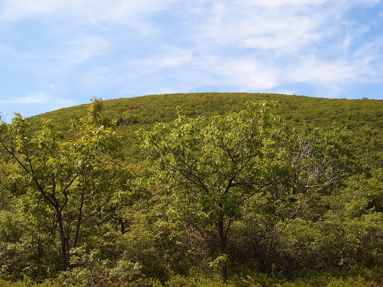
Stissing Fire Tower
Photo: Wikimedia Commons
(CC via Wikimedia)
 LOWA Renegade EVO GTX MidGORE-TEX, 3 widths, resolableCheck price on Amazon →
 Hydro Flask Wide Mouth 32ozinsulated, durableCheck price on Amazon →
 Osprey Talon 22ventilated back, pole carryCheck price on Amazon →
 Adventure Medical Kits Ultralight Watertight .7day-hike specific, waterproofCheck price on Amazon →
 Black Diamond Spot 400-Rrechargeable, comfortableCheck price on Amazon →
The Stissing Fire Tower delivers one of the best payoff-to-effort ratios in the Hudson Valley — a genuine 360-degree view from an active fire tower after just 0.8 miles of climbing. This isn’t some gentle nature walk, though.
From the trailhead parking area, you’re immediately climbing. The red-blazed trail wastes no time with pleasantries — it goes straight up the mountain through dense hardwood forest. The footing alternates between rocky scrambles and root-covered dirt that turns into a slip-and-slide when wet. I’ve done this trail in late fall when the leaf cover made every step a potential ankle-twister.
About halfway up, you’ll hit the trail junction. The left fork is the direct route — steeper but more straightforward. The right fork takes a slightly longer, more gradual approach to the same destination. Both options are clearly marked, and honestly, on a trail this short, the “easier” route doesn’t save you much suffering.
The final approach to the tower gets rocky again, but then you break out of the trees and there it is — a 60-foot steel fire tower that’s still in active use during fire season. The climb up the tower stairs is optional but absolutely worth it. From the cab, you get unobstructed views across the Harlem Valley, with the Catskills rising to the west and the Taconics marching north into Vermont. On clear days, you can spot the Massachusetts peaks too.
Don’t let the 1.6-mile round trip fool you — this trail earns its “hard” rating through relentless elevation gain. You’re climbing about 500 feet in less than a mile, which translates to a sustained workout that’ll have your heart rate up from the start. The rocky sections require some basic scrambling skills, and the leaf litter in fall makes the descent particularly treacherous. Hiking poles aren’t a bad idea here.
Early morning or late afternoon gives you the best light for photos, and you’ll avoid the crowds that can pack this small summit on nice weekends. Fall foliage season is spectacular here — the tower puts you right at canopy level — but expect company and slippery conditions. Winter hiking is possible but requires microspikes or crampons. Spring can be muddy as hell.
The trailhead parking is off Quarry Hill Road in Pine Plains — it’s a small dirt lot that fills up fast on weekends. No fees, but space for maybe eight cars max. Cell service is spotty on the mountain but works fine at the trailhead. Bring water even for this short hike; the climb is dehydrating. The nearest real town is Millerton, about 15 minutes away, if you need food or gas before heading back to the city.
LOWA Renegade EVO GTX MidGORE-TEX, 3 widths, resolableCheck price on Amazon →Hydro Flask Wide Mouth 32ozinsulated, durableCheck price on Amazon →Osprey Talon 22ventilated back, pole carryCheck price on Amazon →Adventure Medical Kits Ultralight Watertight .7day-hike specific, waterproofCheck price on Amazon →Black Diamond Spot 400-Rrechargeable, comfortableCheck price on Amazon → Patagonia Torrentshell 3L Jacketdurable, trail + everydayCheck price on Amazon →
 Darn Tough Hiker Micro Crew Midweightlifetime warrantyCheck price on Amazon →
 Black Diamond Pursuit Trekking Polescork grip, lightweightCheck price on Amazon →
 Sawyer Squeeze Water Filterultralight, standard threadsCheck price on Amazon →