LOWA Renegade EVO GTX MidGORE-TEX, 3 widths, resolableCheck price on Amazon →
 Hydro Flask Wide Mouth 32ozinsulated, durableCheck price on Amazon →
 Osprey Talon 22ventilated back, pole carryCheck price on Amazon →
 Adventure Medical Kits Ultralight Watertight .7day-hike specific, waterproofCheck price on Amazon →
 Black Diamond Spot 400-Rrechargeable, comfortableCheck price on Amazon →
Roan Mountain (Grassy Ridge Bald) at a glance: A 5.8-mile out-and-back along the Appalachian Trail from Carvers Gap over a chain of open grassy balds with 360-degree views. Rated moderate, with rolling climbs over Round Bald and Jane Bald to Grassy Ridge. It is famous for its June rhododendron bloom and its exposed, windy ridgeline. Parking at Carvers Gap fills early, so arrive at first light, and bring a layer for the wind in any season.
The Roan Highlands hold some of the finest grassy balds in the southern Appalachians, and the walk from Carvers Gap to Grassy Ridge is the classic way to experience them. Following the Appalachian Trail across a series of open, treeless summits, it delivers near-constant 360-degree views for a moderate effort, which is a rare combination. It is among the highest-rated hikes in the region, celebrated for its wide-open scenery and, in early summer, for one of the great rhododendron displays in the East.
From Carvers Gap the Appalachian Trail climbs north onto Round Bald, the first of the open summits, where the forest falls away and the views open up almost immediately. The route then dips and rises over Jane Bald before continuing to the high point of the hike at Grassy Ridge, the largest of the balds, where some hikers push a little farther along the crest for even more solitude and views. Unlike most mountain hikes, the scenery here is constant rather than saved for the summit, with grassy slopes rolling away on all sides for most of the walk.
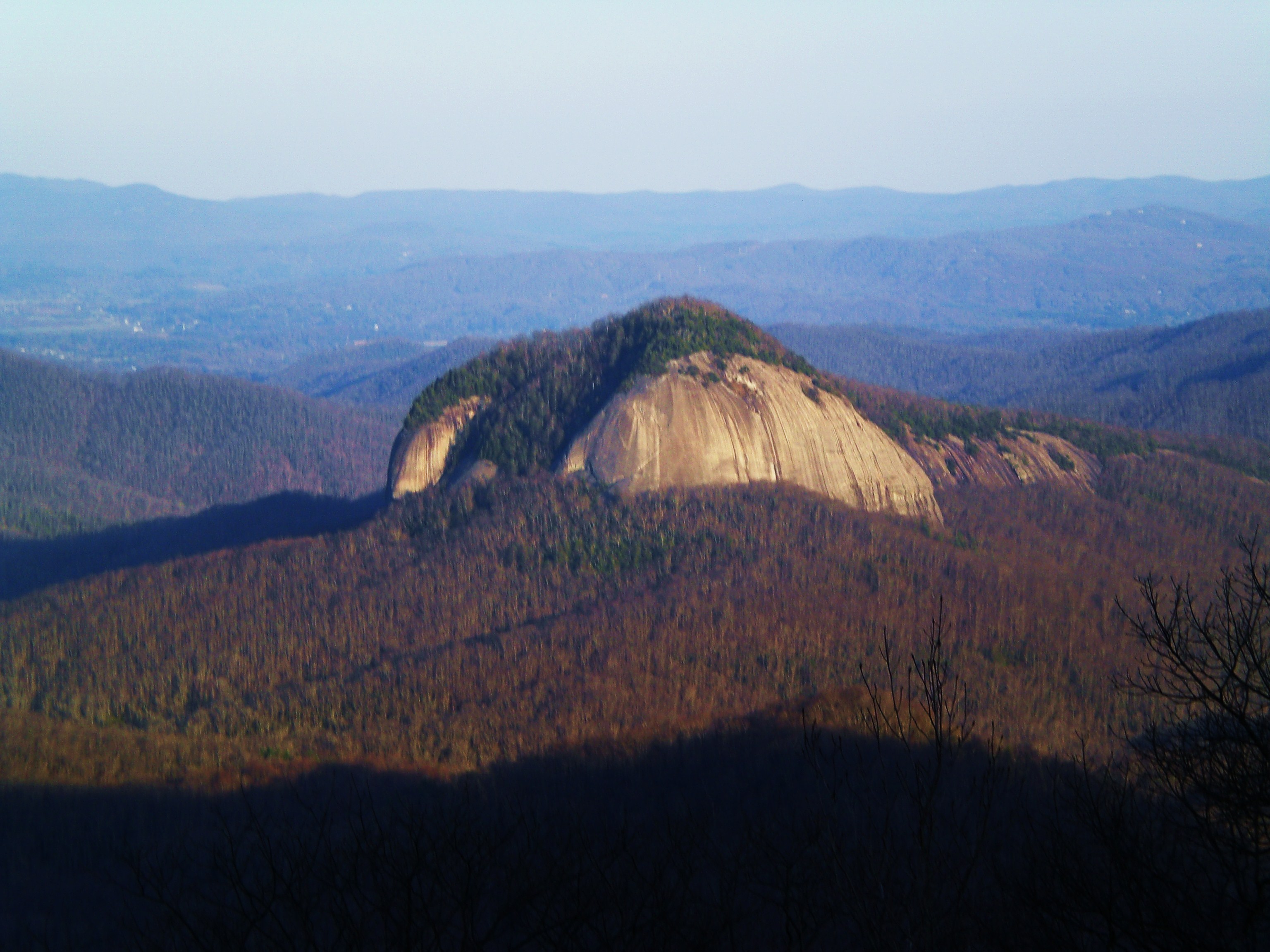
The balds are the whole point. These are high, open meadows kept treeless by a mix of history and management, and they give the ridge an alpine, above-treeline feel that is unusual this far south. Grassy Ridge is often cited as the highest grassy bald in the eastern United States, and standing on it feels closer to the northern mountains than to the Carolinas. In mid-June the slopes erupt with Catawba rhododendron and flame azalea, drawing crowds for the bloom, while the rest of the season offers green summer meadows and golden fall grass under enormous skies.
Because everything is exposed, the weather defines the experience. On a calm, clear day the ridge is glorious and easy to enjoy, but wind is a near-constant companion on the open balds and can turn cold and strong quickly, even in summer. Hikers repeatedly stress carrying a windproof layer regardless of the forecast, since conditions on the ridge often differ sharply from the parking lot below.
Moderate is a fair rating. The distance is modest and the climbs are rolling rather than steep, so a reasonably active hiker handles the out-and-back comfortably in around three hours. The elevation is already high at Carvers Gap, so most of the work is the gentle up-and-down across the balds rather than one big ascent, which keeps the effort accessible.
Conditions add the main variables. The trail can be muddy in spots after rain, sections near Grassy Ridge get rocky and overgrown, and the exposure means wind and weather matter more than the terrain. The honest read is an accessible ridge walk whose difficulty comes almost entirely from the elements rather than the climbing, which makes it a superb choice when the weather cooperates.
The signature time is mid-June, when the Catawba rhododendron bloom transforms the balds into a sea of purple and draws hikers from all over. It is spectacular and correspondingly crowded, so an early start is essential during bloom season. Beyond June, the balds are rewarding all season, with lush green meadows in summer and golden grass and crisp, clear views in fall.
The trail is open year-round, but winter turns the exposed ridge into a serious, wind-blasted outing with snow and ice, best left to prepared hikers. Spring can be muddy and the access road may be affected by weather at elevation. In any season, calm, clear conditions unlock the full sweep of the views, and early morning offers both the best light and the easiest parking.
Parking is the main constraint. The lot at Carvers Gap is popular and fills early, especially on summer weekends and during the rhododendron bloom, so arriving at or before sunrise is the reliable strategy. There is a privy near the gap but no other services, so bring what you need for the hike.
A windproof layer is the single most useful thing to pack given the constant exposure, along with sun protection since there is no shade on the open balds. Dogs are welcome on leash and the ridge is a popular hike for them, though the wind and lack of water are worth planning for. Carry plenty of water, stay on the established trail to protect the fragile bald vegetation, and pack out everything.
The Roan Highlands straddle the North Carolina and Tennessee border, within reach of both the Asheville and Johnson City areas, which makes this stretch of the Appalachian Trail an easy target for a day hike. Its blend of minimal climbing and maximal views makes it a rare hike that rewards casual walkers and seasoned hikers alike.
Grassy Ridge earns exceptional marks from the people who hike it, with a near-unanimous chorus rating it a top outing and pointing to the constant open views and the June bloom as the highlights. The recurring practical notes are consistent: come early for parking, bring a layer for the relentless wind, and time a June visit for the rhododendron if you can.
That is the honest summary of this Roan Highlands classic. It offers wall-to-wall ridge views for a moderate effort, capped in early summer by a rhododendron display few hikes anywhere can match. Arrive at first light, pack for the wind, and pick a clear day, and the walk to Grassy Ridge delivers some of the finest open-ridge scenery in the southern Appalachians.
LOWA Renegade EVO GTX MidGORE-TEX, 3 widths, resolableCheck price on Amazon →Hydro Flask Wide Mouth 32ozinsulated, durableCheck price on Amazon →Osprey Talon 22ventilated back, pole carryCheck price on Amazon →Adventure Medical Kits Ultralight Watertight .7day-hike specific, waterproofCheck price on Amazon →Black Diamond Spot 400-Rrechargeable, comfortableCheck price on Amazon → Patagonia Torrentshell 3L Jacketdurable, trail + everydayCheck price on Amazon →
 Darn Tough Hiker Micro Crew Midweightlifetime warrantyCheck price on Amazon →
 Black Diamond Pursuit Trekking Polescork grip, lightweightCheck price on Amazon →
 Sawyer Squeeze Water Filterultralight, standard threadsCheck price on Amazon →