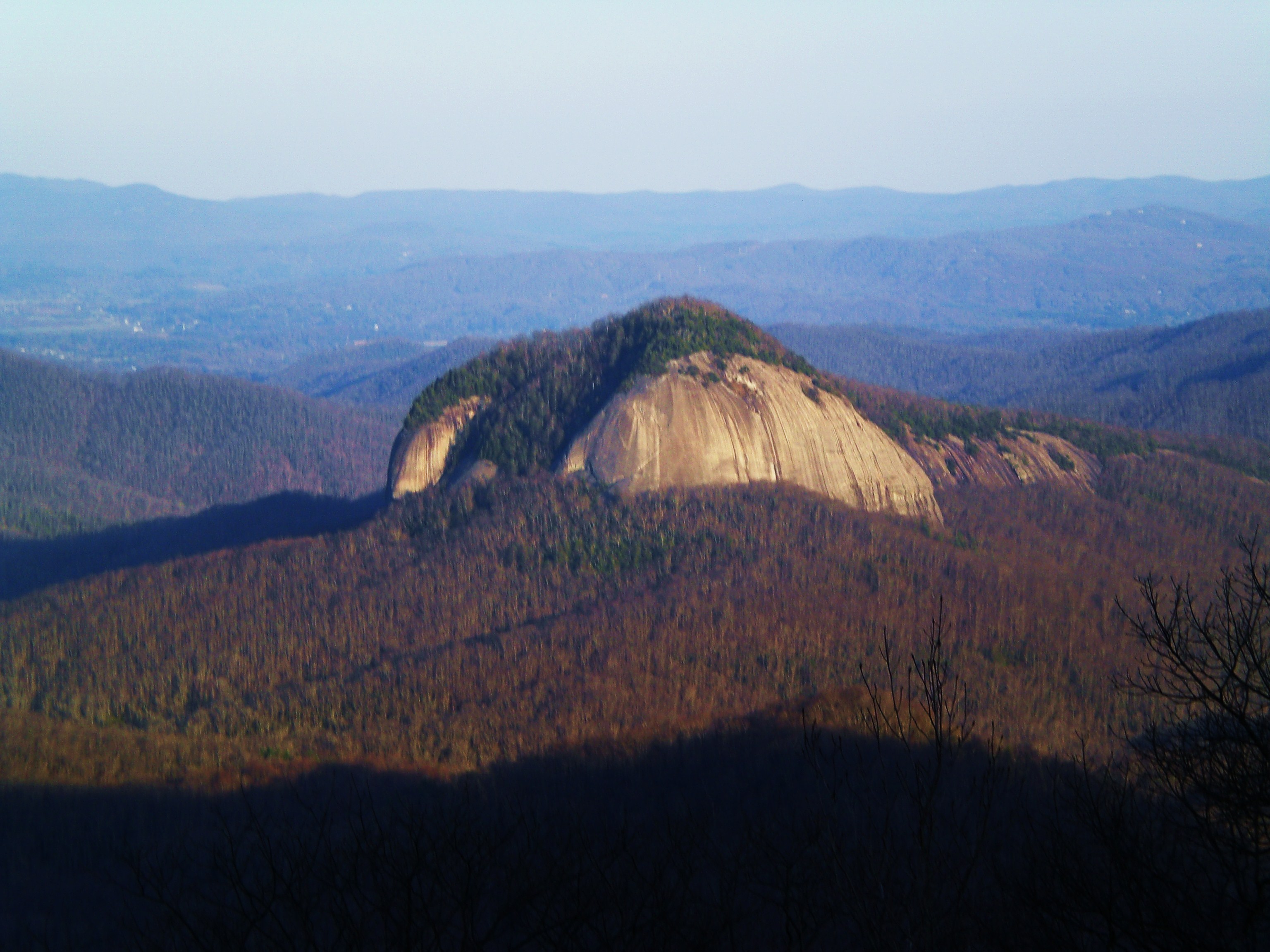
Max Patch — The Blue Ridge Mountains
Photo: User:Washedwithblood7
(CC via Wikimedia)
 LOWA Renegade EVO GTX MidGORE-TEX, 3 widths, resolableCheck price on Amazon →
 Hydro Flask Wide Mouth 32ozinsulated, durableCheck price on Amazon →
 Osprey Talon 22ventilated back, pole carryCheck price on Amazon →
 Adventure Medical Kits Ultralight Watertight .7day-hike specific, waterproofCheck price on Amazon →
 Black Diamond Spot 400-Rrechargeable, comfortableCheck price on Amazon →
Max Patch at a glance: A 1.6-mile loop to a famous grassy bald on the Appalachian Trail near Hot Springs, with 360-degree views for very little effort. The walk is easy, but the drive in is a long gravel road, and the summit is exposed and frequently windy. It is a beloved sunrise and sunset spot, and to protect the fragile bald there are now rules banning camping, fires, and drones, so come for the views and leave no trace.
Max Patch is among the most photographed spots on the southern Appalachian Trail, a broad grassy bald that offers a sweeping 360-degree view for a walk almost anyone can do. The short loop to the open summit delivers a payoff wildly out of proportion to its effort, which is exactly why it has become so popular. Hikers rate it near the top of easy hikes in the region, with the main considerations being the drive to reach it and the rules now in place to protect the bald.
From the trailhead, the loop climbs gently through grass to the open crown of the bald. There are no trees on top, which is the whole point: the summit is a wide, rounded meadow with unobstructed views in every direction, taking in the Black Mountains, the Great Smokies, and ridge after ridge on a clear day. The bald is not natural forest but an open grassland kept clear over the years, and its treeless crown is what gives the summit its rare unbroken horizon. The Appalachian Trail runs right across the bald, so you are sharing the summit with thru-hikers passing through. In the warm months the surrounding grass grows tall and green, and the whole rounded crown takes on a soft, sweeping look that photographs beautifully.
The standard route is a short loop, usually walked so that you climb directly to the summit and return on a gentler grassy path, and hikers frequently note it can be done clockwise or counterclockwise with little difference. The whole thing is under two miles, and most people spend more time lingering on top than actually walking, which is how it should be. There are no benches or structures up here, so visitors simply settle into the grass, and on clear evenings the bald fills with small groups spread out to watch the sun drop behind the ridges.
Because the summit is fully exposed, the experience changes dramatically with the weather. On a calm, clear day it is idyllic, popular for picnics, sunrise, and sunset. When the wind is up, as it commonly is on the open bald, the summit can be cold and blustery even when the parking area feels mild, so a layer is worth carrying regardless of the forecast.
Easy is an accurate rating for the walk itself. The loop is short, the climb is gentle, and it is well within reach of families with young children and casual walkers. Most people finish it in under an hour, and it is a rare hike where the effort is genuinely minimal relative to the reward.
The real difficulty, if there is one, is getting there and dealing with the exposure. The bald can be muddy and slick in spots after rain, and the wind and lack of shade are the main comfort factors on top. The honest read is that this is an easy, accessible destination whose main planning challenges are the access road and the weather rather than the hiking.
The prime season runs March through November, with fall a particular favorite for crisp air, golden grass, and the clearest long-range views. Summer brings warm, green meadows and popular sunset gatherings, while spring offers wildflowers and fresh color. Sunrise and sunset are the signature times to visit, when the low light across the bald is at its best.
Winter access can be limited by the gravel road, which may be rough or impassable after snow, so a cold-season visit depends heavily on road conditions. In any season, checking the wind and the road status beforehand pays off, since the exposed summit and the long unpaved approach are the two variables most likely to affect the trip.
The drive is the main commitment. Max Patch is reached by a long gravel forest road, and hikers consistently mention the slow, bumpy approach, so allow extra time and drive carefully, especially in a low-clearance vehicle. Parking is at a lot near the bald that fills on nice weekends and at sunset, so arrive early for popular times.
To protect the fragile grassy bald from overuse, rules now prohibit camping, campfires, and drones, and ask visitors to stay on trails and pack out everything. Dogs are welcome on leash, which makes it a favorite for hikers with pets. Bring a windproof layer, water, and sun protection, since there is no shade or water on the open summit.
Max Patch sits near Hot Springs, within reach of Asheville and the wider western North Carolina hiking scene, which makes it easy to combine with other stops. Its blend of a tiny walk and an enormous view makes it a rare destination that suits everyone from serious hikers to families, as long as visitors treat the bald with the care its popularity now demands.
Max Patch earns glowing marks from the huge number of people who visit, with the overwhelming majority calling the views extraordinary for the minimal effort and singling out sunrise and sunset as the magic hours. The recurring practical notes are about the long gravel drive, the wind on the exposed summit, and the importance of following the rules that keep the bald open.
That is the honest summary of this Appalachian Trail landmark. It is a short, easy walk to a genuinely spectacular 360-degree view, best enjoyed at golden hour and treated with care. Plan for the gravel road, bring a layer for the wind, and leave no trace, and Max Patch rewards almost no effort with one of the finest short-hike views in the Southeast.
LOWA Renegade EVO GTX MidGORE-TEX, 3 widths, resolableCheck price on Amazon →Hydro Flask Wide Mouth 32ozinsulated, durableCheck price on Amazon →Osprey Talon 22ventilated back, pole carryCheck price on Amazon →Adventure Medical Kits Ultralight Watertight .7day-hike specific, waterproofCheck price on Amazon →Black Diamond Spot 400-Rrechargeable, comfortableCheck price on Amazon → Patagonia Torrentshell 3L Jacketdurable, trail + everydayCheck price on Amazon →
 Darn Tough Hiker Micro Crew Midweightlifetime warrantyCheck price on Amazon →
 Black Diamond Pursuit Trekking Polescork grip, lightweightCheck price on Amazon →
 Sawyer Squeeze Water Filterultralight, standard threadsCheck price on Amazon →