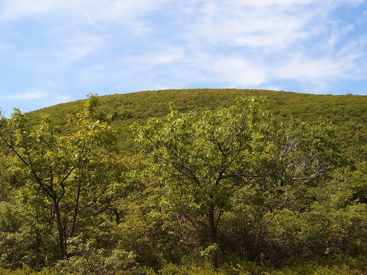
Castle Craig — Hanging Hills of Meriden
Photo: Hallettx
(CC via Wikimedia)
 LOWA Renegade EVO GTX MidGORE-TEX, 3 widths, resolableCheck price on Amazon →
 Hydro Flask Wide Mouth 32ozinsulated, durableCheck price on Amazon →
 Osprey Talon 22ventilated back, pole carryCheck price on Amazon →
 Adventure Medical Kits Ultralight Watertight .7day-hike specific, waterproofCheck price on Amazon →
 Black Diamond Spot 400-Rrechargeable, comfortableCheck price on Amazon →
Castle Craig at a glance: A 4.4-mile loop in the Hanging Hills of Meriden, climbing the traprock ridge to a stone observation tower with long views over Merimere Reservoir and, on clear days, all the way to Long Island Sound. Rated moderate, with a few genuinely steep, rocky pitches that earn the rating. Most hikers recommend going clockwise, parking is free and easy at Hubbard Park, and there is a seasonal auto road if you want the tower without the climb.
Castle Craig is the landmark that defines Meriden’s skyline, a squat stone tower perched on the edge of the traprock cliffs known as the Hanging Hills. The standard loop from Hubbard Park strings together a lake, a reservoir, and a ridge climb to the tower, packing a lot of variety into under five miles. Hikers rate it highly for the payoff at the top and the mix of scenery along the way, with the consistent caveat that the “moderate” label hides a couple of steep, rocky sections that get your attention.
The loop starts near Mirror Lake at Hubbard Park and works its way back toward Merimere Reservoir, whose long, narrow water sits tucked between the ridges. From there the trail climbs onto East Peak, following the blue-blazed Metacomet Trail up the traprock spine to Castle Craig itself. The stone tower dates to 1900 and stands at the high point of the ridge, and climbing it opens a wide view across the reservoir, the surrounding hills, and the Connecticut lowlands, reaching to Long Island Sound and the Hartford skyline on a clear day.
The character of the loop shifts sharply between its halves. The reservoir side is relatively gentle walking along the water, while the ridge section is steeper and rockier, with exposed traprock underfoot and short scrambly pitches near the top. Hikers overwhelmingly recommend hiking the loop clockwise, which puts the steep climbing on the ascent and leaves a more gradual descent for tired legs rather than forcing a knee-punishing drop down the rocky face.
One quirk sets Castle Craig apart from most summit hikes: a seasonal paved auto road runs up to the tower. That means the top can be busy with visitors who drove rather than hiked, and it also gives you a bailout or a car-accessible option for anyone not up for the full loop. For hikers, the road occasionally parallels the route, but the trail experience along the ridge and reservoir stands on its own.
Moderate is a fair label, with an asterisk. The distance and total climbing are manageable for most reasonably fit hikers, and many families do it, but the trail is not the gentle stroll the mileage might suggest. The steep pitches on the ridge are rocky and can be slick, and hikers regularly flag the traprock as the part that slows them down and demands careful footing, especially on the descent if you go counterclockwise.
Conditions add to the challenge in the shoulder seasons. The lower sections can be muddy after rain, and the rock gets slippery when wet, so timing a visit for dry conditions makes a real difference. Most hikers finish the loop in around two to two and a half hours, and the honest read is that it is a solid, rewarding half-day hike rather than a quick nature walk, with the difficulty concentrated in a few short but real climbs.
The prime season runs March through November, with spring and fall the standouts. Fall is a particular highlight, when the traprock ridge overlooks a canopy of color and the clear, crisp air stretches the views to their maximum. Spring brings green and running water but also the muddiest trail conditions, so the ridge is more pleasant once things dry out.
Summer is popular and green, though the exposed ridge can be hot and the tower area draws crowds, especially when the auto road is open. Winter is quieter and can be beautiful, but the steep traprock ices over and the seasonal road closes, so cold-season hikers should plan for traction and slower going. Whatever the season, a clear day is what unlocks the long views that make the climb worthwhile.
Parking is refreshingly easy for a hike this popular. Hubbard Park has a large free lot, and hikers consistently note that getting a spot is rarely the problem it is at busier trailheads. The park itself has restrooms and picnic areas near the entrance, making it a comfortable base for a family outing built around the loop.
Bring water and decent footwear with grip, since the rocky ridge is the crux and there is no reliable water once you start climbing. Dogs are welcome on leash, which makes this a favorite among local dog walkers. Pay attention to the trail markers where the route braids with connector paths and the auto road, as a wrong turn here is the most common complaint, and confirm the direction of travel so you get the recommended clockwise climb.
Castle Craig sits right in Meriden and is easy to reach off the interstate, which makes it a convenient stop rather than a remote destination. The seasonal auto road to the tower is worth knowing about either way: it lets less mobile visitors share the summit view, and it gives hikers a fallback plan if weather or fatigue cuts the loop short.
Castle Craig earns strong marks from the people who hike it, with the large majority rating it a rewarding loop and singling out the tower views as the highlight. The recurring practical advice is remarkably consistent: go clockwise, watch your footing on the steep traprock, and pick a clear, dry day for both the safest climb and the best views from the top.
That is the fair summary of this Hanging Hills classic. It is a compact loop with a genuine summit payoff, a moderate rating that hides a few real climbs, and a historic stone tower that rewards the effort. Time it for dry weather, take the clockwise route, and Castle Craig delivers a satisfying half-day hike with one of the best long views in central Connecticut.
LOWA Renegade EVO GTX MidGORE-TEX, 3 widths, resolableCheck price on Amazon →Hydro Flask Wide Mouth 32ozinsulated, durableCheck price on Amazon →Osprey Talon 22ventilated back, pole carryCheck price on Amazon →Adventure Medical Kits Ultralight Watertight .7day-hike specific, waterproofCheck price on Amazon →Black Diamond Spot 400-Rrechargeable, comfortableCheck price on Amazon → Patagonia Torrentshell 3L Jacketdurable, trail + everydayCheck price on Amazon →
 Darn Tough Hiker Micro Crew Midweightlifetime warrantyCheck price on Amazon →
 Black Diamond Pursuit Trekking Polescork grip, lightweightCheck price on Amazon →
 Sawyer Squeeze Water Filterultralight, standard threadsCheck price on Amazon →
 Sawyer Premium Permethrin Insect Repellent Spraytreat clothing; kills ticksCheck price on Amazon →
 Mountain Hardwear Crater Lake Long Sleeve HoodyUPF 50, hood + thumb holesCheck price on Amazon →