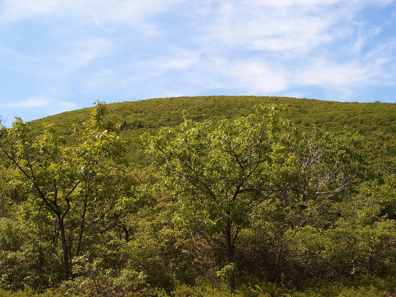
Kent Falls State Park
Photo: U.S. Geological Survey
(CC via Wikimedia)
 LOWA Renegade EVO GTX MidGORE-TEX, 3 widths, resolableCheck price on Amazon →
 Hydro Flask Wide Mouth 32ozinsulated, durableCheck price on Amazon →
 Osprey Talon 22ventilated back, pole carryCheck price on Amazon →
 Adventure Medical Kits Ultralight Watertight .7day-hike specific, waterproofCheck price on Amazon →
 Black Diamond Spot 400-Rrechargeable, comfortableCheck price on Amazon →
Kent Falls is the showpiece waterfall in Connecticut. The cascade drops 250 feet down a series of ledges and plunge pools in the Litchfield Hills. The trail runs right alongside the falls, climbing stone steps and crossing wooden platforms that put you close enough to feel the mist. You start at the base, where Kent Falls Brook fans out over a wide rock face, and work your way up past maybe a dozen distinct drops. The upper cascade is the tallest single drop, and there’s a fenced overlook at the top with a view back down the entire run.
The whole thing is short, under a mile for the full loop, but the falls make every step count. After a good rain or during spring snowmelt, the water volume transforms this from pretty to genuinely impressive. Even in drier months, there’s enough flow to make the trip worthwhile. The covered bridge at the park entrance and the picnic area along the brook round out the experience. There’s also an ADA-accessible viewing area at the base if you just want to see the lower cascade without climbing.
Moderate. Steeper than you’d expect for such a short trail. The steps trail gains about 250 feet alongside the falls on well-built stone steps, but those steps are steep and often slick from spray. Handrails are in place on the worst sections. The return loop via the yellow-blazed trail is more gradual. Families with older kids handle it fine, but it’s not a casual stroll. The wet stone steps demand real footing, especially on the way down.
Spring is the money season. Snowmelt and April rains push the most water over the falls, and the cascade is at its most powerful. Fall foliage framing the falls in October is the other peak draw, and the park gets crowded on weekends. Summer is fine but the water volume drops noticeably by August. The park is open from 8am to sunset, typically mid-April through December. Weekday mornings give you the falls almost to yourself.
The park is on Route 7 in Kent, about 2 hours from NYC and 90 minutes from Hartford. Parking is $15 for CT residents on weekends, $22 for out-of-state. Weekday parking is free for residents. Restrooms and picnic tables are at the base. Dogs on leash are welcome. Swimming and wading are not allowed in the falls or pools. The town of Kent is a 5-minute drive south and has good cafes and shops if you want to make an afternoon of it. Cell service is fine in the park.
LOWA Renegade EVO GTX MidGORE-TEX, 3 widths, resolableCheck price on Amazon →Hydro Flask Wide Mouth 32ozinsulated, durableCheck price on Amazon →Osprey Talon 22ventilated back, pole carryCheck price on Amazon →Adventure Medical Kits Ultralight Watertight .7day-hike specific, waterproofCheck price on Amazon →Black Diamond Spot 400-Rrechargeable, comfortableCheck price on Amazon → Patagonia Torrentshell 3L Jacketdurable, trail + everydayCheck price on Amazon →
 Darn Tough Hiker Micro Crew Midweightlifetime warrantyCheck price on Amazon →
 Black Diamond Pursuit Trekking Polescork grip, lightweightCheck price on Amazon →
 Sawyer Squeeze Water Filterultralight, standard threadsCheck price on Amazon →
 Sawyer Premium Permethrin Insect Repellent Spraytreat clothing; kills ticksCheck price on Amazon →
 Mountain Hardwear Crater Lake Long Sleeve HoodyUPF 50, hood + thumb holesCheck price on Amazon →