LOWA Renegade EVO GTX MidGORE-TEX, 3 widths, resolableCheck price on Amazon →
 Hydro Flask Wide Mouth 32ozinsulated, durableCheck price on Amazon →
 Osprey Talon 22ventilated back, pole carryCheck price on Amazon →
 Adventure Medical Kits Ultralight Watertight .7day-hike specific, waterproofCheck price on Amazon →
 Black Diamond Spot 400-Rrechargeable, comfortableCheck price on Amazon →
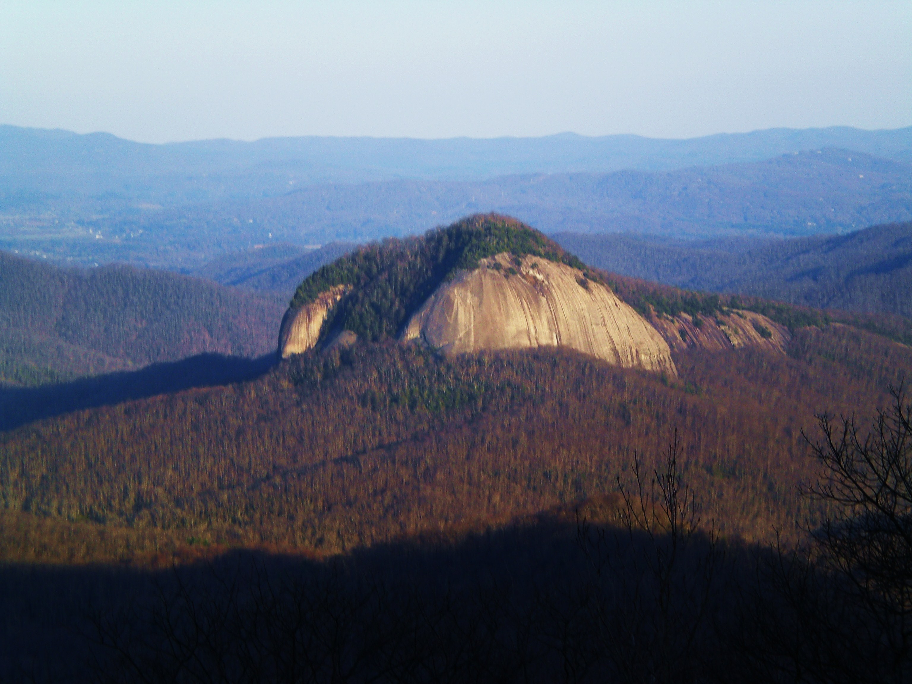
Devil’s Courthouse is the most dramatic short hike on the Blue Ridge Parkway. The trail is 0.8 miles round trip. You climb steeply on a paved and rocky path through spruce forest, and in about 20 minutes you’re standing on a bare rocky summit with a sheer cliff face dropping away on the south side and views into four states. On a clear day you can pick out ranges in North Carolina, South Carolina, Georgia, and Tennessee.
The summit itself is a small rocky dome with almost nothing between you and the sky. The Cherokee called this place Judaculla’s Courtroom — the god of the hunt supposedly held court here, and you can see why the site inspired legend. The cliff on the south face is near-vertical, several hundred feet down. Stay on the marked paths and keep kids and dogs close to the edge. It’s genuinely dramatic up there. The hike is short enough to do as a stop on a parkway drive, and the payoff is way out of proportion to the 0.4-mile effort to get there.
Moderate for the distance. The 0.8-mile round trip packs 200 feet of gain onto a steep, narrow trail that starts paved and transitions to rocky terrain. The final approach to the summit is steep enough to require some hand-on-rock scrambling. It’s not technical, but it’s not a stroll either. The summit area is small and the south cliff is real — use common sense near the edge. Wet conditions make the rocks considerably more difficult. Kids and dogs can manage it with close supervision.
Fall is excellent. The view north from the summit shows the entire Shining Rock and Black Balsam area turning in October. Summer works well for a morning visit before afternoon storms build. The summit is fully exposed and the clouds can come in fast at 5,400 feet. Winter closes the parkway in this section regularly between November and March. Spring is fine once the road reopens but the rocks stay wet and icy well into April. This is a good add-on with Black Balsam or Graveyard Fields — they’re all within a few miles of each other on the parkway.
The parking overlook is at BRP milepost 422.4, about 43 miles from Asheville — roughly an hour on the parkway. Small lot, no fee, no permit. No restrooms at the trailhead. The nearest facilities are at the Graveyard Fields parking area a few miles back. Cell service is nonexistent. The trail is clearly marked from the parking area. Bring water and layers. Dogs on leash are allowed, though the steep scramble near the top and the proximity to a serious cliff edge means you should keep them tight on a short leash up there.
LOWA Renegade EVO GTX MidGORE-TEX, 3 widths, resolableCheck price on Amazon →Hydro Flask Wide Mouth 32ozinsulated, durableCheck price on Amazon →Osprey Talon 22ventilated back, pole carryCheck price on Amazon →Adventure Medical Kits Ultralight Watertight .7day-hike specific, waterproofCheck price on Amazon →Black Diamond Spot 400-Rrechargeable, comfortableCheck price on Amazon → Patagonia Torrentshell 3L Jacketdurable, trail + everydayCheck price on Amazon →
 Darn Tough Hiker Micro Crew Midweightlifetime warrantyCheck price on Amazon →
 Black Diamond Pursuit Trekking Polescork grip, lightweightCheck price on Amazon →
 Sawyer Squeeze Water Filterultralight, standard threadsCheck price on Amazon →