LOWA Renegade EVO GTX MidGORE-TEX, 3 widths, resolableCheck price on Amazon →
 Hydro Flask Wide Mouth 32ozinsulated, durableCheck price on Amazon →
 Osprey Talon 22ventilated back, pole carryCheck price on Amazon →
 Adventure Medical Kits Ultralight Watertight .7day-hike specific, waterproofCheck price on Amazon →
 Black Diamond Spot 400-Rrechargeable, comfortableCheck price on Amazon →
Graveyard Fields at a glance: A 3.3-mile loop off the Blue Ridge Parkway through a high, open valley to two waterfalls on Yellowstone Prong. Rated moderate, and the defining feature is mud: this is one of the muddiest popular trails in the region, so waterproof footwear is a must. The high-elevation setting brings blueberries in late summer and color in fall, parking is free but fills fast, and dogs are welcome on leash.
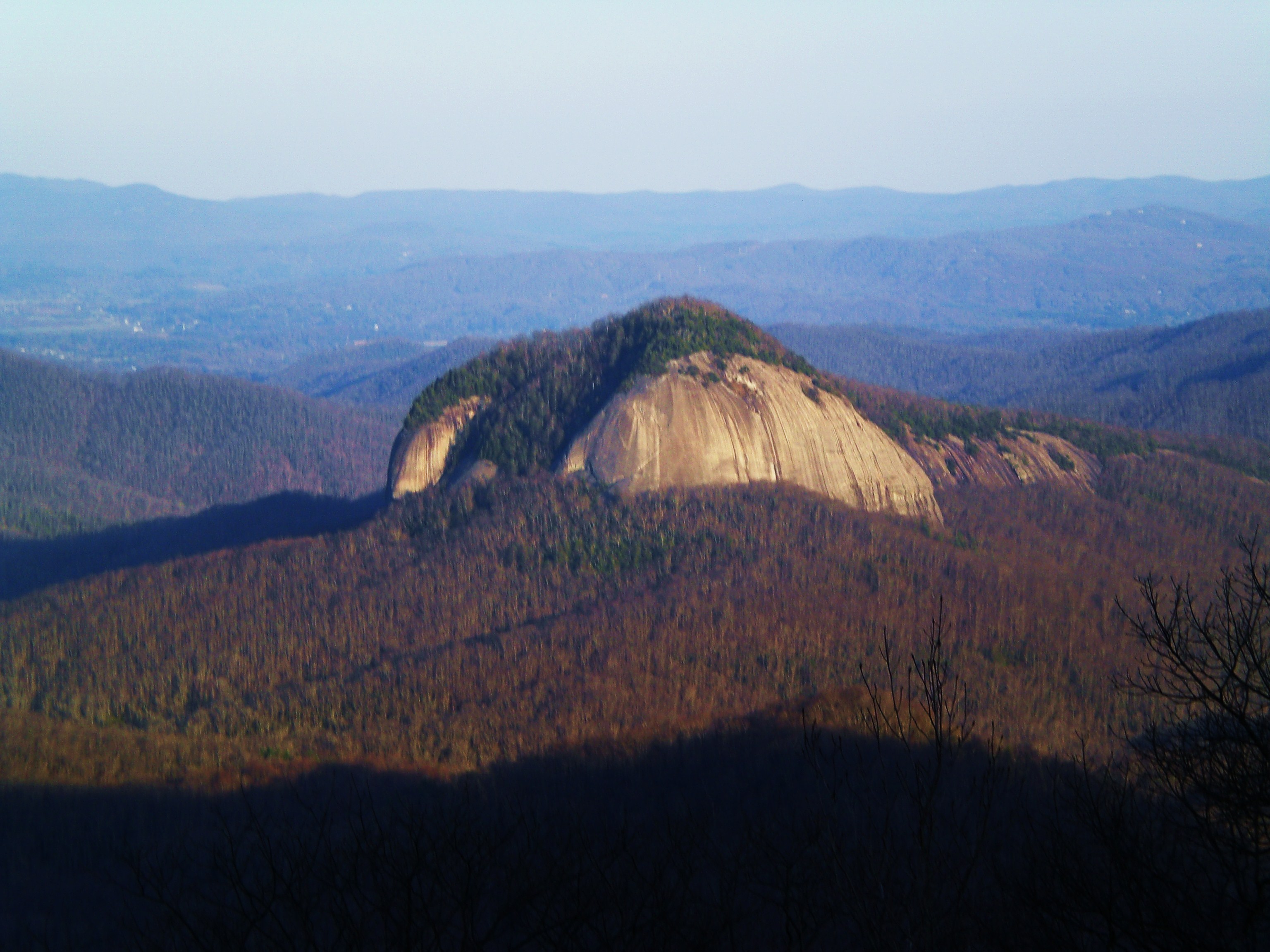
Graveyard Fields is an unusual high-elevation valley on the Blue Ridge Parkway, an open expanse of meadow and shrub set at around 5,000 feet, ringed by mountains and cut by a tumbling creek. The loop visits two waterfalls, Upper Falls and Lower Falls, while crossing the strange, open landscape that gives the place its name. It is a hugely popular stop, and its reviews are enthusiastic about the scenery while nearly unanimous on one point: come prepared for mud.
The trail drops from the Parkway parking area into the valley on a paved-then-boardwalk start, crossing Yellowstone Prong before opening into the meadows. The open, treeless character of Graveyard Fields is striking and unusual for the region, the result of old fires and storms that cleared the forest, leaving low, open ground covered in grass, shrubs, and wildflowers with long views to the surrounding peaks. Spur trails lead to the two waterfalls that bookend the loop.
Lower Falls is a short walk from the start, a wide cascade with a pool at its base, while Upper Falls sits farther up the valley at the end of a longer, rougher spur that climbs alongside the creek. Between them, the loop wanders through the open fields on a mix of boardwalk, gravel, and dirt trail. In late summer the valley fills with wild blueberries, a favorite draw for hikers who time it right. The valley’s name is said to come from the moss-covered stumps and downed logs that once dotted it after old fires and storms, giving the open ground a graveyard-like look.
The mud is impossible to ignore. The low, wet valley and heavy foot traffic combine to create long, notoriously muddy stretches that are the single most common theme in trip reports. Boardwalks cover some of the worst sections, but hikers regularly describe slogging through mud elsewhere, and the trail network can be confusing enough that people occasionally take a wrong turn, so a map and waterproof footwear both help.
Moderate is a fair rating, with the difficulty coming from footing and the Upper Falls spur rather than sustained climbing. The main loop through the valley is relatively gentle, but the climb to Upper Falls is rougher and steeper, and the pervasive mud slows the whole outing. Most hikers complete the loop in around two hours, more if they explore both waterfalls fully, and many visit only Lower Falls when time or mud is against them.
Conditions are dominated by moisture. The trail is muddy in all but the driest spells, and the rocks near the falls are slick, so waterproof boots and careful footing make a real difference. The high elevation also means cooler, changeable weather than the lowlands. The honest read is a scenic, rewarding loop whose main challenge is simply staying upright and dry-footed through the mud.
The prime window is roughly March through November, tied to the Blue Ridge Parkway being open. Late summer is a highlight for the wild blueberries that fill the valley, and fall is spectacular, when the open fields and surrounding slopes turn color under big skies. Spring brings wildflowers and running water but also the muddiest conditions of the year.
Because the trail sits high on the Parkway, it is subject to Parkway closures in winter and bad weather, so a cold-season visit depends on road status and brings snow, ice, and even muddier thaws. In any season, the valley is at its best on a clear day when the long views to the peaks are open, and drier spells make the notorious mud far more manageable.
Parking is at the Graveyard Fields overlook directly on the Blue Ridge Parkway, a free lot with restrooms that fills quickly on nice weekends given the trail’s popularity, so an early arrival is the reliable strategy. There are no services beyond the restrooms, so bring water and anything you need for the loop.
Waterproof footwear is the single most important thing to bring, given how central mud is to the experience. Dogs are welcome on leash and many hikers bring them, though the mud and creek crossings are worth planning for with a dog along. Bring a map or downloaded route, since the trail junctions in the valley can be confusing, and pack out everything on this heavily used trail to keep the fragile high-elevation landscape intact.
Graveyard Fields sits high on the Blue Ridge Parkway between Asheville and Brevard, in a stretch packed with overlooks and trailheads, which makes it easy to combine with other Parkway stops. Its unusual open valley, two waterfalls, and late-summer blueberries make it a distinctive destination, as long as you arrive ready for the mud.
Graveyard Fields earns solid marks from the many people who hike it, with the majority praising the unusual open valley and the two waterfalls, while echoing a near-constant refrain about the mud and the occasional confusing junction. The recurring practical advice is consistent: wear waterproof boots, bring a map, come early for parking, and time a late-summer visit for the blueberries.
That is the fair summary of this Blue Ridge Parkway landmark. It offers a genuinely unusual high-elevation valley with two waterfalls and long mountain views, rewarding for the effort as long as you come prepared for the mud that defines it. Wear the right boots, arrive early, and pick a drier stretch of weather, and Graveyard Fields delivers a distinctive loop unlike anything else on the Parkway.
LOWA Renegade EVO GTX MidGORE-TEX, 3 widths, resolableCheck price on Amazon →Hydro Flask Wide Mouth 32ozinsulated, durableCheck price on Amazon →Osprey Talon 22ventilated back, pole carryCheck price on Amazon →Adventure Medical Kits Ultralight Watertight .7day-hike specific, waterproofCheck price on Amazon →Black Diamond Spot 400-Rrechargeable, comfortableCheck price on Amazon → Patagonia Torrentshell 3L Jacketdurable, trail + everydayCheck price on Amazon →
 Darn Tough Hiker Micro Crew Midweightlifetime warrantyCheck price on Amazon →
 Black Diamond Pursuit Trekking Polescork grip, lightweightCheck price on Amazon →
 Sawyer Squeeze Water Filterultralight, standard threadsCheck price on Amazon →