Quick picks
First timer? Dark Hollow Falls — 1.4 miles round trip, 70-foot falls, done in an hour.
With kids? Rose River Falls — 4-mile loop, moderate terrain, no scrambling required.
Want a challenge? Whiteoak Canyon + Cedar Run loop — 9 miles, six waterfalls, serious rock scrambles.
Charlottesville sits where the Blue Ridge drops toward the Piedmont, and that elevation change means water falls hard and fast. Shenandoah National Park starts at Rockfish Gap, practically in the city’s backyard. The Blue Ridge Parkway threads south through the tallest cascades in Virginia. George Washington National Forest fills in the gaps with trails that see a fraction of the foot traffic. Between all three, you could spend an entire season chasing falls and still have new ones on the list.
Spring snowmelt and heavy rain between March and May push these falls to peak volume. I’ve seen Dark Hollow Falls in August when it was barely a trickle, then returned in April after a big rain week and the whole gorge was roaring. Timing matters more than most people realize. Late fall works too — recent rains plus low water tables mean decent flow without the humidity. Winter is stunning with ice formations on the rock faces, but microspikes are not optional on any steep section from December through early March. One wrong step on a frozen stretch near waterfall spray and you’re sliding toward a serious drop.
Shenandoah: Quick Hits (Under 45 Min from Cville)
Shenandoah charges $30 per vehicle for seven days. The annual pass at $55 pays for itself in two trips. All three of these trailheads sit along Skyline Drive in the central district, and you can stack two in a single morning if you start early enough.
Dark Hollow Falls is 1.4 miles round trip with 440 feet of elevation change. The 70-foot falls are photogenic from multiple angles and this is the closest waterfall to Skyline Drive. Start at mile 50.7 and you’re standing at the base in about 20 minutes. The downside: everyone knows about it. The parking lot fills before 9am on weekends and October foliage weekends are a circus. Get there early or go on a Tuesday. If you only have an hour and want to see a Shenandoah waterfall, this is the one. The trail is well-maintained stone steps most of the way down, which makes the return climb straightforward even for beginners.
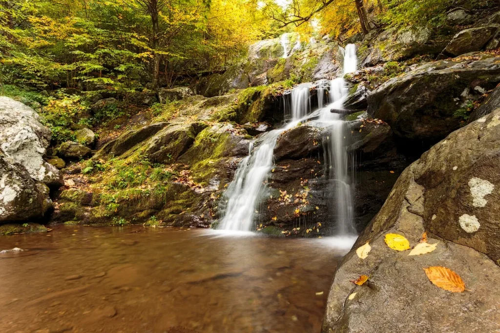
Rose River Falls is a 4-mile loop that pairs a 67-foot waterfall with a creek walk through old-growth forest. The loop format means you’re not retracing your steps, which I always prefer. Moderate difficulty with some rocky footing near the falls, but nothing technical. Less crowded than Dark Hollow despite being close on Skyline Drive. Spring is the best time here — the creek crossings are shallow enough to hop across but the falls are running strong. The forest canopy along the lower section keeps the trail cool even on warm days, and the hemlocks give it a different feel from the oak-dominated ridgeline trails.
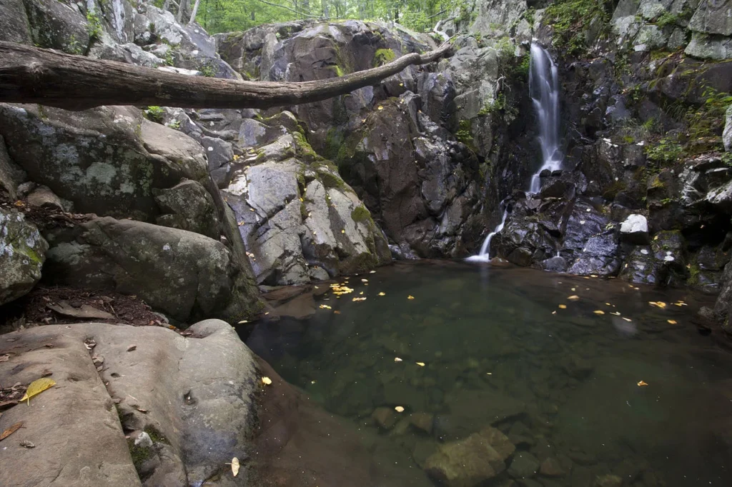
South River Falls drops 83 feet, making it the third tallest in Shenandoah. The hike runs 4.4 miles round trip to the overlook, or push down to the base for 5.4 miles total. That base trail adds real elevation on the return — steeper than it looks from the top. The overlook alone is worth the trip if your legs are already spent from a morning hike. Less foot traffic than the central district falls, and the trailhead parking rarely fills even on peak weekends. The trail passes through a quiet stretch of hardwood forest before the descent, and the falls viewpoint catches afternoon light well for photos.
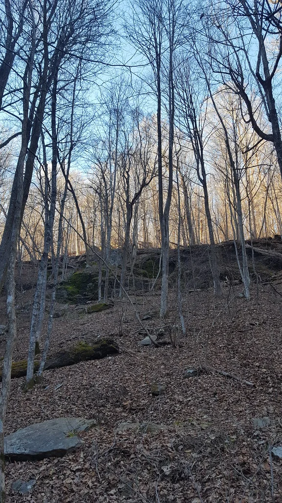
Shenandoah: The Big Loops
These are half-day to full-day commitments. Real elevation gain, rock scrambles, and stream crossings that run high after rain. Trekking poles help on every one of these. Start early on weekends — parking pressure in the central district is real, and the rock scramble sections on Cedar Run and Whiteoak Canyon become slow-moving lines by mid-morning on Saturdays.
Doyles River & Jones Run Falls connects two waterfalls on a single 7.8-mile circuit. Doyles River Falls is a series of cascades totaling about 63 feet. Jones Run Falls drops 42 feet in a single clean plunge. The loop gains about 1,400 feet with several stream crossings that can run high after rain. I like running it clockwise — hit Jones Run first while your legs are fresh, then catch Doyles River on the descent. The trail between the two falls follows the Appalachian Trail along the ridgeline, and the forest up there is some of the best in the park. Bring lunch and eat it on one of the rock outcrops along the AT section.
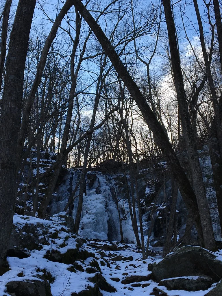
Whiteoak Canyon has six waterfalls on one trail, the highest dropping 86 feet. That’s the headline, and it delivers. The full out-and-back to all six runs 9.4 miles with nearly 2,200 feet of elevation change. Most people turn around after the upper falls at about 4.6 miles, which is still a strong hike. The rock scrambling gets real on the lower sections — wet, steep, and relentless in places. Good tread on your shoes is not optional. If you want to see what Shenandoah can really do when the water is running, this is the trail that answers the question.
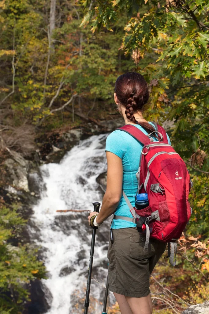
Cedar Run Trail is Whiteoak Canyon’s rowdier neighbor. The trail drops into a gorge full of cascades, pools, and boulder scrambles over 3.3 miles one way. Combine it with Whiteoak Canyon for a 9-mile loop that ranks among the best day hikes in the mid-Atlantic. The swimming holes in the gorge are tempting on hot days. Fair warning: the rock scramble section creates serious bottlenecks when it’s busy. Arrive before 8:15am on weekends or you’ll be waiting in single-file lines on the boulders. The loop is strenuous either direction, but I prefer descending Cedar Run and ascending Whiteoak — the scrambles are easier to navigate downhill.
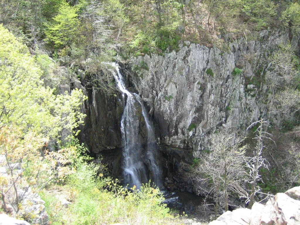
Overall Run Falls is the tallest waterfall in Shenandoah National Park at 93 feet. The catch: it’s seasonal. By mid-summer the flow often drops to nothing, and you’ll hike 6.5 miles round trip to stare at a damp rock face. Hit it in spring after snowmelt or a good rain and the payoff is enormous. The trailhead sits in the Mathews Arm area, the quietest corner of the park. Far fewer crowds than the central district. Bring plenty of water because this section feels more remote than it looks on the map, and there’s limited shade on the exposed ridgeline approach.
Outside the Park (No Fee)
Two of the most impressive waterfall hikes near Charlottesville sit outside Shenandoah entirely. No entrance fee required. Both are south of the city along the Blue Ridge Parkway corridor in George Washington National Forest.
Crabtree Falls drops over 1,200 feet across five major cascades. That makes it the tallest cascading waterfall east of the Mississippi, and that’s not marketing copy — it actually delivers. The 1.7-mile trail (3.4 round trip) gains about 1,500 feet, so the short distance is misleading. Your quads will know it on the climb. Multiple overlook platforms give different perspectives on each cascade, and every one is worth stopping at. Located about 45 minutes south of Charlottesville on Route 56. Free parking, no pass. This is the one waterfall in the entire region that impresses people who don’t normally care about waterfalls. The upper cascade alone is worth the drive.
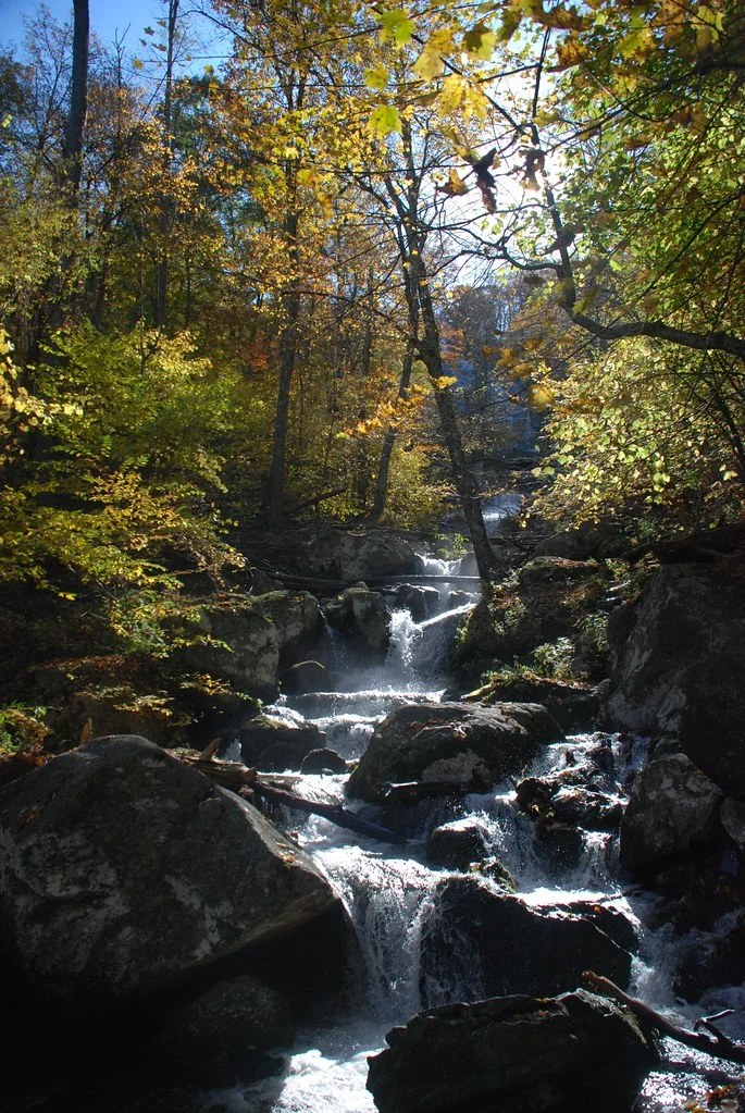
Apple Orchard Falls is a 200-foot waterfall accessed from the Blue Ridge Parkway near milepost 78. The trail runs 7.4 miles round trip with close to 1,800 feet of elevation change — a genuine leg-burner on the return. Best in spring when snowmelt keeps the flow strong. By late summer you might find a disappointing drip. The hike itself passes through gorgeous hardwood forest that lights up in October, and the trail is well-blazed the entire way. Fewer people make it out here compared to Crabtree Falls, so if solitude matters to you this is the pick. About 90 minutes from Charlottesville, which makes it a solid half-day trip.
How I’d Pick
Best for first-timers: Dark Hollow Falls — quick, accessible, and genuinely impressive for the effort. Best waterfall overall: Crabtree Falls, no contest, nothing else in this corridor matches the scale. Best with kids: Rose River Falls, a manageable loop with no technical terrain. Best full-day loop: Whiteoak Canyon and Cedar Run together for six waterfalls and a gorge full of swimming holes. Best solitude: Overall Run Falls on a weekday in spring when the water is actually running. Best bang for the drive: Doyles River and Jones Run — two falls, one loop, one parking spot. Best for photos: South River Falls catches afternoon light beautifully from the overlook. Best gut-check: Apple Orchard Falls, because that return climb earns every inch of the 200-foot cascade.