The East Coast doesn’t have 14,000-foot peaks. What it has instead are trails that concentrate difficulty into shorter distances — technical scrambles over wet rock, above-treeline ridges with 60 mph winds, cliff-face climbs on iron rungs with 300-foot drops, and relentless vertical that makes 9 miles feel like 20. The elevation numbers look modest on paper. The trails don’t care what the numbers look like.
These are the trails that experienced East Coast hikers treat with genuine respect. Every one of them has sent people to the hospital. If you want the summit views without the hospital visit, start with our best mountain hikes on the East Coast instead.
Is Devil’s Path Really the Hardest Trail in the Northeast?
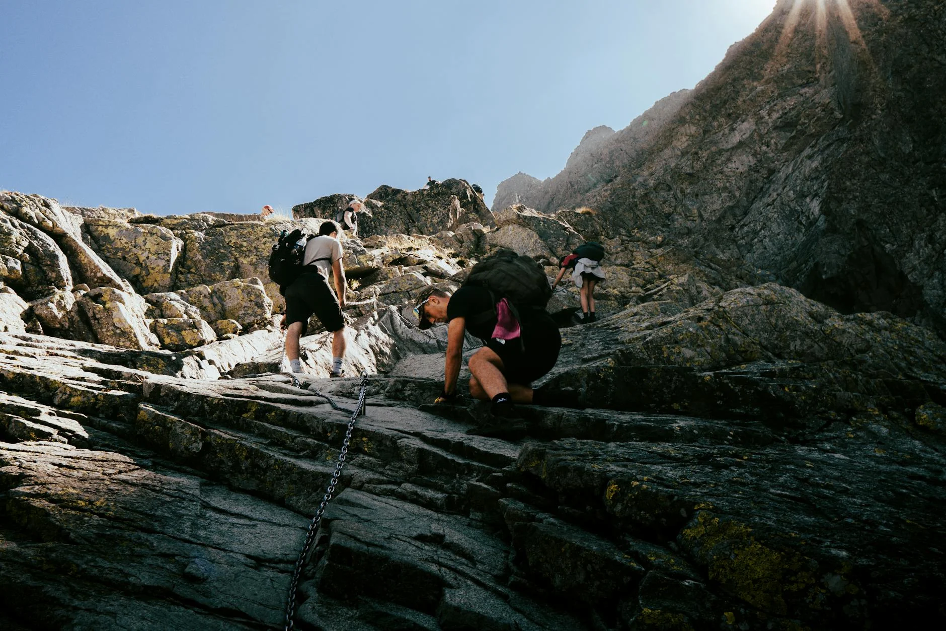
Devil’s Path in the Catskills has a serious claim. The full traverse is 25 miles across six peaks with over 9,000 feet of cumulative elevation gain. The steepness between summits is what breaks people — descents on loose rock at 30-degree angles followed immediately by 2,000-foot climbs. There’s no flat section where you find a rhythm. You’re either going straight up or straight down for the entire route.
Most hikers break it into sections. The Indian Head to Twin Mountain segment (about 9 miles, 2,800 ft gain) is the most popular day-hike portion. Even that section has multiple exposed scrambles and the kind of descents where a slip means a tumble, not a stumble.
One Catskills regular put it simply: “It’s relentless. The trail never lets up.” Hikers who’ve done both Devil’s Path and the White Mountains’ hardest trails consistently rank Devil’s Path among the most physically punishing routes in the Northeast.
What makes it hard: Cumulative vertical, loose rock descents, no flat recovery sections, poor trail markings in places. The difficulty is physical endurance, not technical skill.
How Dangerous Is the Precipice Trail in Acadia?
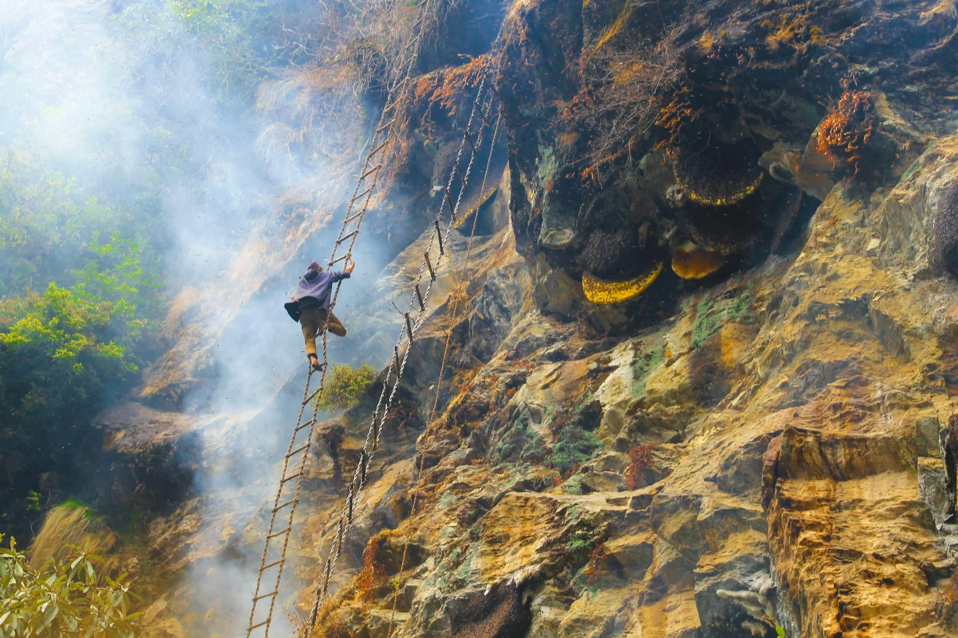
Precipice Trail is only 1.6 miles, but one reviewer nailed it: “This is NOT a trail — it’s a climb.” Iron rungs and ladders bolted into the granite face of Champlain Mountain in Acadia, with the Atlantic Ocean several hundred feet below. No guardrails. No safety nets. The exposure is real.
The trail self-selects at the beginning — the first rung section tells you immediately if you can handle what comes next. Hikers describe the middle sections as “narrow ledge traverses where you’re very aware that a fall would be fatal.” Multiple reviews from experienced hikers say it’s the most psychologically intense trail they’ve done on the East Coast.
One hiker who completed it with kids aged 7 and 10 noted they “are small for their age but adventurous and used to hiking/climbing.” Another at 5’3″ reported some rungs were “a bit of a stretch” to reach. Several emphasize that wet conditions make it genuinely dangerous — the granite becomes frictionless.
What makes it hard: Exposure and consequence. The physical effort is moderate. The psychological demand of climbing iron rungs with fatal drops is what stops people. Closed March through mid-August for falcon nesting.
Does Franconia Ridge Deserve Its Reputation?
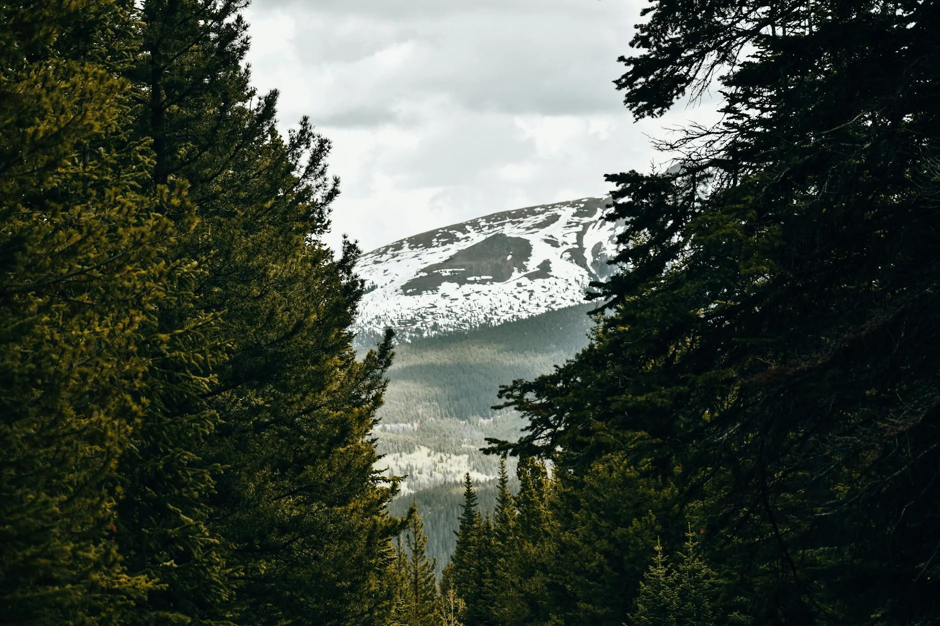
Franconia Ridge Loop in New Hampshire is 8.8 miles with 3,900 feet of gain — numbers that don’t look extreme until you’re on the ridge. One experienced hiker warned explicitly: “This is much harder than it looks from the mileage and elevation gain.” Multiple reviewers call it one of the hardest physical challenges of their lives.
The 1.7-mile exposed ridge walk above treeline is where the difficulty concentrates. Wind speeds routinely exceed 50 mph when the valley below is calm. People have died of hypothermia on this ridge in summer. The combination of sustained climbing, technical terrain, and legitimate alpine exposure makes the 8.8-mile mileage deeply deceptive.
In winter, the ridge transforms into a mountaineering objective. Full crampons, ice axes, and winter survival gear are required, not suggested. Icy descents and whiteout conditions push this from “hard day hike” into “people die here” territory.
What makes it hard: Above-treeline wind exposure, deceptive mileage, sustained 3,900 ft of climbing, and genuine alpine danger. The difficulty is both physical and environmental.
Is Old Rag Mountain as Hard as People Say?

Old Rag Mountain in Shenandoah is universally described as genuinely challenging — not “hard for beginners” but legitimately demanding for anyone. The 9.8-mile circuit has a mile-long granite boulder scramble that requires upper body strength, route-finding through crevices, and comfort with exposure.
AllTrails reviewers consistently flag that it’s harder than the statistics suggest. The rock scramble section “surprises hikers with its intensity” and people with large packs, fear of heights, or limited upper body mobility “struggle significantly.” One winter hiker found the trail so icy that crampons were “immediately obvious” as necessary.
Then there’s the descent. The fire road return is 4+ miles of monotonous loose gravel on tired legs. Reviewers unanimously describe it as “brutally tedious.” Multiple hikers note this is where knee injuries happen — the excitement is over but the physical toll is just beginning.
What makes it hard: The scramble demands upper body strength and comfort with exposure. The 9.8-mile total distance with 2,800 ft of gain exhausts most hikers before the brutal fire road descent. Requires timed entry permit from recreation.gov.
What Are the Hardest Catskill Hikes Beyond Devil’s Path?
Wittenberg and Cornell (9.8 miles, 2,800 ft) is the hardest standard day hike in the Catskills outside Devil’s Path. The Wittenberg ledge has the best summit view in the range. Cornell adds scramble sections requiring handholds. In winter, reviewers report “glare ice, deep snowdrifts, and extreme summit winds” with the Cascade summit described as “like being on another planet.”
The Blackhead Range (8.2 miles, 2,680 ft) traverses three peaks above 3,500 feet. The difficulty is cumulative — no single section stops you, but the constant up-and-down across three summits wears you down. Winter adds relentless ice and post-holing through deep snow.
Table and Peekamoose (9.4 miles, 2,600 ft) adds remoteness to the difficulty. The trailhead is unsigned and the trail passes through dark spruce forest. In winter, ice forms on the rocky bald near Peekamoose’s summit that’s “genuinely hazardous” without full traction gear.
Which Other East Coast Trails Belong on This List?
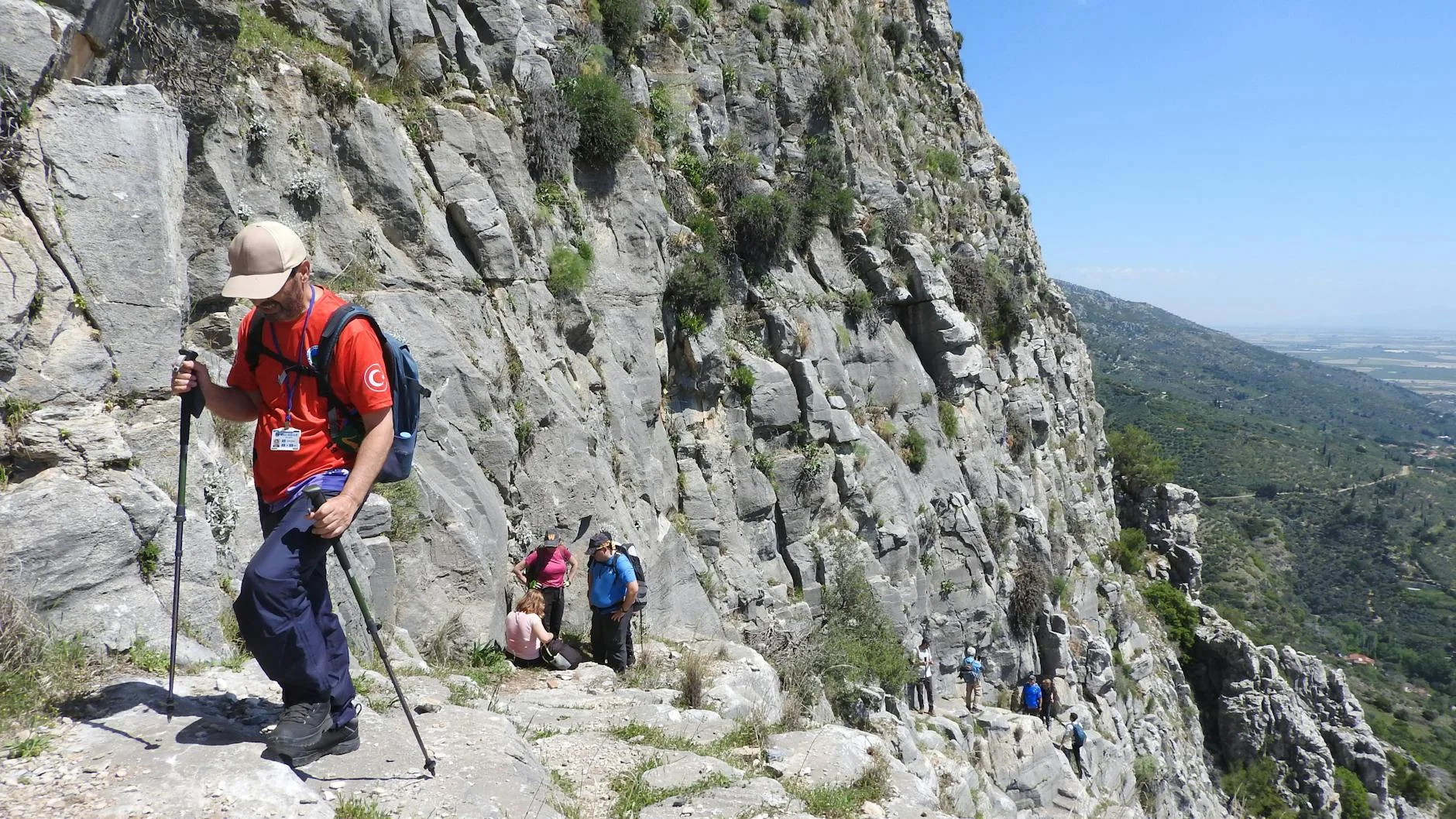
Glen Onoko Falls in Pennsylvania (3 miles, 1,188 ft) — the state closed this trail in 2019 because people kept getting injured and killed. AllTrails reviewers describe it as “absolutely intense/brutal” with one calling the uphill “no joke if you aren’t in pretty fit condition.” The waterfall gorge is steep, slippery, and genuinely dangerous when wet. Check current access status before going.
Giant Mountain with Rocky Peak Ridge in the Adirondacks (8.5 miles, 4,436 ft) — the most elevation gain on any trail in this article. Sustained exposure on the upper ridge with genuine hand-over-foot scrambling. The Adirondack High Peaks demand respect year-round.
The Beehive in Acadia (1.6 miles) — Precipice’s easier sibling, but still involves iron rung climbing with several hundred foot drops. Reviewers note it’s “more psychologically challenging than physically demanding.” One wrote: “If you have any reservations about heights, at all, reconsider.”
Three Ridges Loop near Charlottesville (13.5 miles, 3,300 ft) — the longest trail on this list. Combines the AT over Three Ridges summit with creek crossings that can be knee-deep after rain. A full-day commitment for strong hikers.
Mount Tammany at the Delaware Water Gap (4.3 miles, 1,193 ft) — steeper than it looks. AllTrails reviewers call it “a perfect, challenging climb” but note the Red Dot Trail is “steep and rocky the whole way.” The reward is a clifftop view 1,200 feet above the river.
How Do the Hardest East Coast Hikes Compare?
| Trail | Miles | Elev. Gain | State | What Makes It Hard |
|---|---|---|---|---|
| Precipice Trail | 1.6 | 1,000 ft | ME | Iron rungs, fatal exposure |
| The Beehive | 1.6 | 488 ft | ME | Iron rungs, cliff drops |
| Glen Onoko Falls | 3.0 | 1,188 ft | PA | Closed for safety, steep gorge |
| Mount Tammany | 4.3 | 1,193 ft | NJ | Relentless steep rock |
| Blackhead Range | 8.2 | 2,680 ft | NY | Three-summit traverse |
| Giant Mountain | 8.5 | 4,436 ft | NY | Most elevation, exposed ridge |
| Franconia Ridge | 8.8 | 3,900 ft | NH | Alpine exposure, deadly wind |
| Table & Peekamoose | 9.4 | 2,600 ft | NY | Remote, icy summit bald |
| Old Rag Mountain | 9.8 | 2,800 ft | VA | Boulder scramble + long descent |
| Wittenberg/Cornell | 9.8 | 2,800 ft | NY | Winter ice, sustained climbing |
| Three Ridges Loop | 13.5 | 3,300 ft | VA | Length, creek crossings |
| Devil’s Path (full) | 25.0 | 9,000+ ft | NY | Relentless vertical, multi-day |
How Do I Know If I’m Ready for These Trails?
If you haven’t hiked over 8 miles with 2,000+ feet of gain, you’re not ready for Devil’s Path, Franconia Ridge, or Old Rag. Start with something like Breakneck Ridge or Slide Mountain to calibrate your fitness against real Appalachian terrain.
If heights make you uncomfortable, skip Precipice and Beehive. Try Gorham Mountain in Acadia first — moderate scrambling with mild exposure. If that feels fine, the Beehive is the next step. Precipice is the final exam.
Winter changes everything. Trails that are hard in summer become dangerous in winter. Franconia Ridge requires mountaineering gear. Catskills trails need microspikes minimum, snowshoes for deep snow. Old Rag‘s scramble on ice is a different sport than Old Rag in August. If you haven’t hiked in winter before, don’t start with any trail on this list.
Tell someone your plan. Cell service is nonexistent on most of these trails. Send a text with the trail name, expected return time, and what to do if you’re not back. This isn’t anxiety — it’s standard practice for trails where rescue is complex and time-sensitive.
Ego is the biggest risk factor. The hikers who get hurt on these trails are overwhelmingly people who refused to turn back when conditions, fitness, or daylight told them to. There’s no summit view worth a helicopter rescue. The trail will be there next weekend.
Ready to pick your next one? See how these trails stack up against the best hikes on the East Coast — difficulty is only one way to rank them.