Pennsylvania has a habit that drives me a little crazy: the official difficulty ratings understate almost everything. The elevation profiles look tame next to the Catskills or the Whites, so people show up in running shoes, and then the state’s actual signature, loose rock and wet slate and stone staircases with nothing to grab, goes to work on their ankles. The state didn’t close Glen Onoko because the elevation was dangerous. It closed it because people kept falling.
So this list ranks Pennsylvania trails by what actually makes them hard, which is footing, exposure, and the gap between what the sign says and what the trail does. And a heads-up before anyone emails me: an earlier version of this page had Dingmans Falls on it, which, no. I’d crossed my notes with Ricketts Glen. The Dingmans trail is a boardwalk you can do in ten minutes with a stroller. That one’s on me.
The One the State Closed
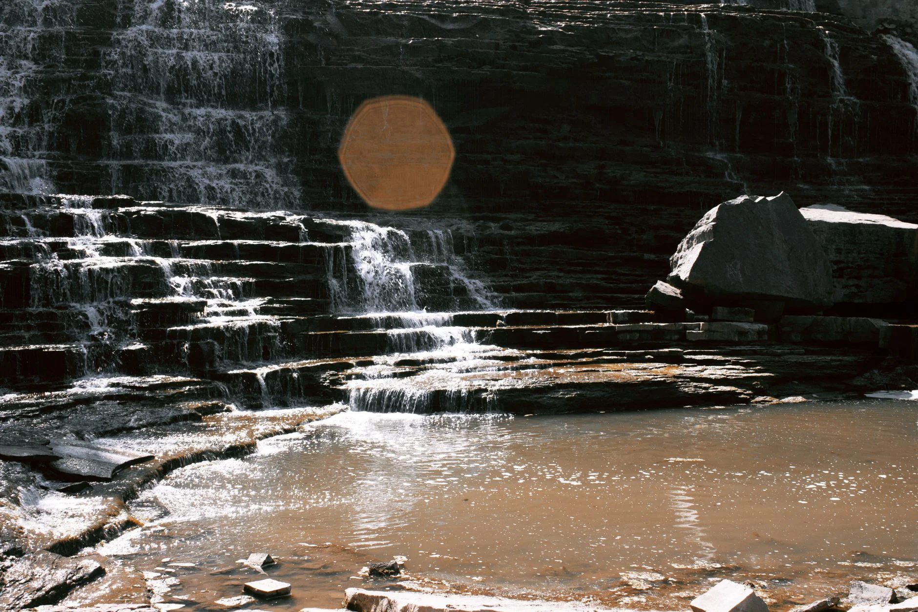
Glen Onoko Falls near Jim Thorpe sits at the top of this list even though you can’t legally hike it, cause its the reference point for everything else in the state. The Game Commission shut it down in 2019 after a string of fatalities and enough rescues that the local crews were making the trip on a first-name basis with the gorge. Steep wet rock, waterfall spray keeping everything greasy, no guardrails, and exposure where a slip actually costs you something.
Hikers who did it before the closure describe an uphill grind that was no joke even for fit people, somewhere around 1,100 to 1,200 feet of gain packed into a short gorge. There’s been on-and-off local noise about reopening it with improvements ever since, and whether that ever actually happens is anyone’s guess. I check every spring. So far, nothing.
Ricketts Glen
If Glen Onoko is the closed benchmark, Ricketts Glen is the open one, and it’s the trail I’d point to if someone asked what “Pennsylvania hard” means. The Falls Trail loop passes 22 named waterfalls — that number is real, I’ve counted the signs — connected by large, uneven stone steps laid by a CCC crew back in the 1930s and getting slicker every year since. No guardrails. The distance is manageable, something like seven miles for the full loop, and the gain is only around a thousand feet, and none of that matters, because the staircases are the whole event.
The consensus from people who hike it regularly: go clockwise, so you’re climbing the steepest stone sections instead of coming down them on tired legs, and treat any rain in the last day as a reason to reschedule. The rock in that glen does not dry. Hikers consistently report the climb back out as the part that gets underestimated, which tracks with the pattern all over this state, the descent gets your knees and the return climb gets your lungs.
Falls are common enough here that the park treats them as routine. Proper boots aren’t a suggestion, they’re the entry fee.
The Water Gap Pair: Minsi and Tammany
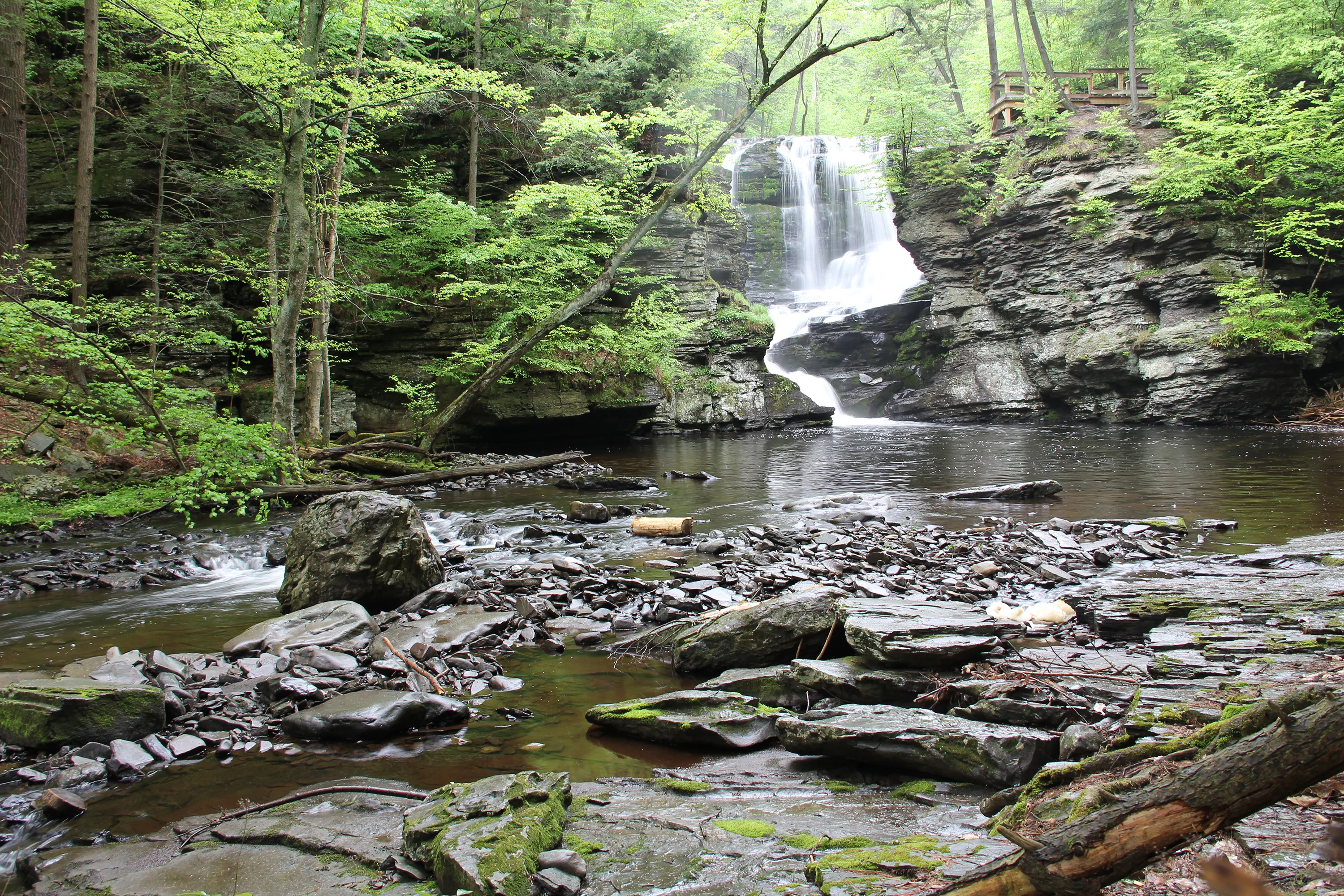
Mount Minsi is my standing example of the lying “moderate” rating, a grudge regular readers have heard before. The AT route up from Lake Lenape is rocky, steep, and demands real scrambling in stretches, and the people who show up expecting a moderate are the ones you pass looking shell-shocked at the second overlook. Roughly 4 and a half miles, call it 1,100 to 1,400 feet depending on where you turn around. Take the outer river-side path up — the inner path is easier and also boring, which is a bad trade — and come down the fire road.
Across the river, Mount Tammany‘s Red Dot trail is technically New Jersey, and I’m including it anyway because nobody hikes one side of the Gap and pretends the other doesn’t exist. The Red Dot ascent is steeper per mile than Minsi, genuinely hard, hands-on-rock in places, and the clifftop view about 1,200 feet above the Delaware is the best in the Gap. Come down the Blue Dot, not the way you came, loose rock on that descent has ended plenty of good days. Lots fill by 8:30 on weekend mornings and the overflow situation gets ugly fast.
Peter’s Mountain
Peter’s Mountain carries the AT along a ridge north of Harrisburg, and it’s the purest expression of the thing Pennsylvania is infamous for among thru-hikers: rock, without pause, for the entire walk. Not boulder scrambles you can point at in a photo. Just constant, ankle-testing, attention-demanding rock, the kind that makes five miles feel like nine. Thru-hikers call this whole stretch of the state “Rocksylvania” and they do not mean it fondly.
Full disclosure, I’ve only done this one in shoulder season. The winter reports (full icing on the ridge, microspikes mandatory) I’m relaying from people I trust rather than my own boots.
Is the Pinnacle Actually Hard?
Depends what you’re comparing it to, but the Pinnacle loop out of Hamburg is the classic eastern-PA test piece: around nine miles with the Pulpit Rock climb front-loaded if you go counterclockwise, which you should. The first half is rocky AT ridgeline that requires actual attention, with a couple of sections where hands come out of pockets. The payoff view from the Pinnacle is routinely called the best on the AT in Pennsylvania, and for once the routine claim is right.
Two practical notes. The lot fills brutally early on weekends, before 7:30 by most accounts. And there’s a mailbox at the summit with a trail register in it, which has no bearing on difficulty whatsoever, I just think it’s a nice thing to know is up there.
Shorter, Meaner, and the Ones I’m Not Counting
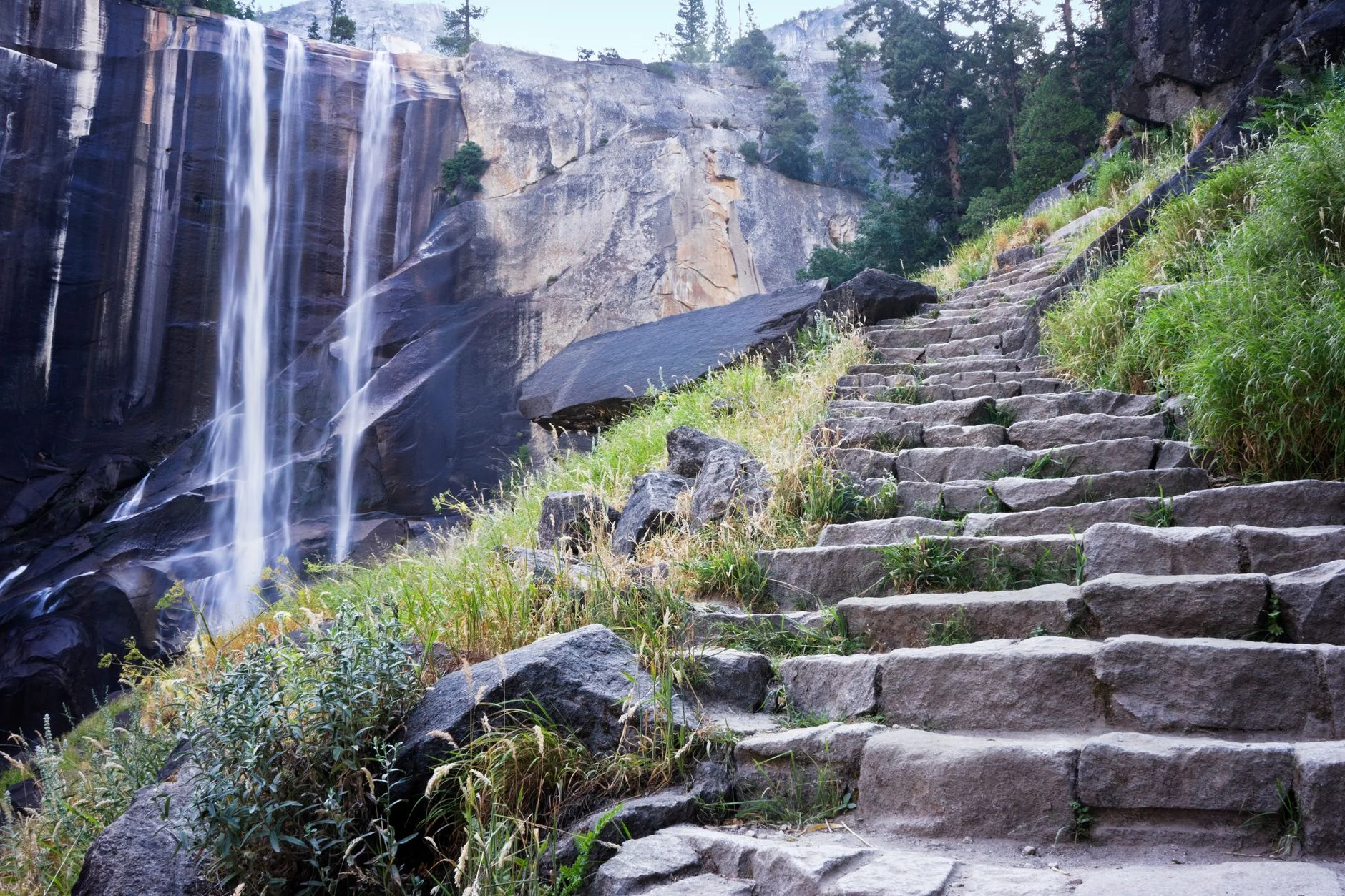
High Rocks at Ralph Stover State Park, above Tohickon Creek in Bucks County, is short but has the most consequential exposure on this list. The cliff-edge paths are narrow, the drops are real, and there are memorials near the overlooks for a reason. It’s a climbing area first and a hiking spot second, treat the edges accordingly and keep dogs leashed.
Hawk Mountain Sanctuary earns a slot for the River of Rocks side, a boulder-field loop that’s rougher than anything the sanctuary’s entrance fee and gift shop would lead you to expect. The short walk to North Lookout is easy and the raptor watching is the real draw, but drop down toward the boulder field and it turns into a legitimate rock-hop for a mile-plus. Bear Creek Preserve near Wilkes-Barre gets an honorable mention for narrow singletrack along steep creek drop-offs, and check the hunting calendar before you go.
And the ones I’m not counting: Lehigh Gorge, because it’s a rail trail, and long is not the same as hard, we’ve been over this. Mount Davis, the state high point, because you can drive nearly to the observation tower — it’s a lovely spot and calling it a hard hike would be an insult to everything else on this page.
How Do the Hardest Pennsylvania Hikes Compare?
| Trail | Miles | Elev. Gain | What Makes It Hard |
|---|---|---|---|
| Glen Onoko Falls | ~3 | ~1,100 ft | Closed since 2019 — wet gorge, no guardrails, fatal falls |
| Ricketts Glen | ~7 | ~1,000 ft | 22 waterfalls, endless slick stone staircases |
| Peter’s Mountain | ~5.5 | ~1,300 ft | Unbroken rock underfoot, icy ridge in winter |
| Mount Minsi | ~4.5 | ~1,300 ft | Steeper and rockier than the “moderate” rating admits |
| Mount Tammany | ~4 | ~1,200 ft | Red Dot ascent is hands-on steep the whole way |
| The Pinnacle | ~9 | ~1,600 ft | Rocky AT ridgeline, boulder moves near Pulpit Rock |
| High Rocks (Ralph Stover) | ~2 | ~400 ft | Narrow cliff-edge paths, serious exposure |
| Hawk Mountain | ~4 | ~800 ft | River of Rocks boulder field, rougher than the entrance suggests |
Before You Go
Everything above shares one requirement: footwear with ankle support and aggressive tread, because Pennsylvania trails are built on rock rather than dirt, and sneakers on Ricketts Glen or Peter’s Mountain will cost you skin at best. Wet conditions roughly double the difficulty everywhere on this list, stone steps and mossy boulders that are fine on a dry Tuesday become a different sport after rain, and gorge rock holds moisture for days. If it rained yesterday, hike something else.
Winter flips the whole list. Nearly every trail here generates ice-fall reports from November through March, and the modest elevations fool people, the ice doesn’t care that you’re only at 1,400 feet. Microspikes live in my trunk from Thanksgiving to Easter and I guess that’s my actual advice: assume ice before you assume you won’t need them.
Parking is its own difficulty rating in this state. Pinnacle by 7:30 on weekends, the Water Gap lots by 8:30, Hawk Mountain by 11. Weekday mornings remain the cheat code.
For harder terrain beyond the state line, the Catskills and the Daks and the Whites, start with the hardest hikes on the East Coast roundup, or browse everything in the Catskills if you want the next step up in punishment.