Asheville has more good hiking within an hour’s drive than anywhere else I’ve been on the East Coast. The Blue Ridge Parkway runs right through town. Pisgah National Forest wraps around the south. The Great Smoky Mountains are an hour west. And you’ve got 6,000-foot peaks, waterfall gorges, granite domes, and grassy balds all within day-trip range. I’ve spent weeks out here over the years, and I still have trails left on my list.
Here’s what I’d prioritize, grouped by area.
Quick picks
Never hiked before? Craggy Gardens, Moore Cove Falls, or Graveyard Fields. Short, rewarding, easy parking.
Bringing kids? DuPont Waterfalls (Hunger Games filming location), Moore Cove Falls (walk behind a waterfall), or Chimney Rock (elevator option).
Want a challenge? Looking Glass Rock, Charlie’s Bunion, or Alum Cave to Mount LeConte.
What Are the Best Blue Ridge Parkway Hikes Near Asheville?
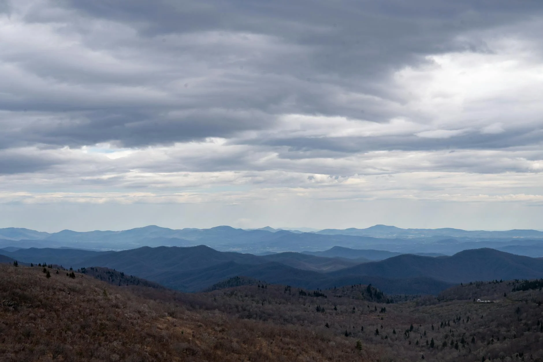
The Parkway is Asheville’s backyard trail system. No entrance fee, no permit, just pull over and hike. These are listed roughly south to north from Asheville.
Craggy Gardens is the closest serious BRP hike to downtown, just 18 miles north at milepost 364. The 1.5-mile round trip to Craggy Pinnacle gains 350 feet to a 5,892-foot summit with panoramic views over the Black Mountains. Come in mid-June when the Catawba rhododendrons bloom across the balds. The rest of the year it’s still a solid quick hike with big views for little effort.
Mount Pisgah is visible from downtown Asheville and it’s the local benchmark hike. Three miles round trip with 700 feet of gain to a 5,721-foot summit. The trail is steep and rooty through dense forest to a clearing with views over Pisgah National Forest. The Pisgah Inn near the trailhead at milepost 408 has food and gas. Good year-round hike, though winter brings ice on the upper sections.
Graveyard Fields at milepost 418 is a mile-high valley with two waterfalls and a swimming hole. The 3.2-mile loop hits Upper Falls and Lower Falls through a landscape that was reshaped by a massive fire in 1925. The terrain is open and unusual for the Southern Appalachians. The most visited spot on the entire Parkway, which means the parking lot is chaos on fall weekends. Go early or midweek.
Black Balsam Knob is the trail I’d send someone to if they had one day near Asheville and wanted to see something they can’t see anywhere else on the East Coast. At 6,214 feet, the open grassy balds above treeline feel more like Scotland than North Carolina. The 2-mile round trip gains 400 feet on a well-worn path. The 5-mile Art Loeb loop adds Tennent Mountain and more ridge walking. Forty miles from Asheville at milepost 420. Weather changes fast up here.
Devil’s Courthouse at milepost 422 is a rocky summit with views into four states. The 0.8-mile round trip is steep but paved partway. Cherokee legend says a giant slant-eyed spirit holds court inside the mountain. Short enough to combine with Black Balsam or Graveyard Fields since they’re all within a few miles of each other on the Parkway.
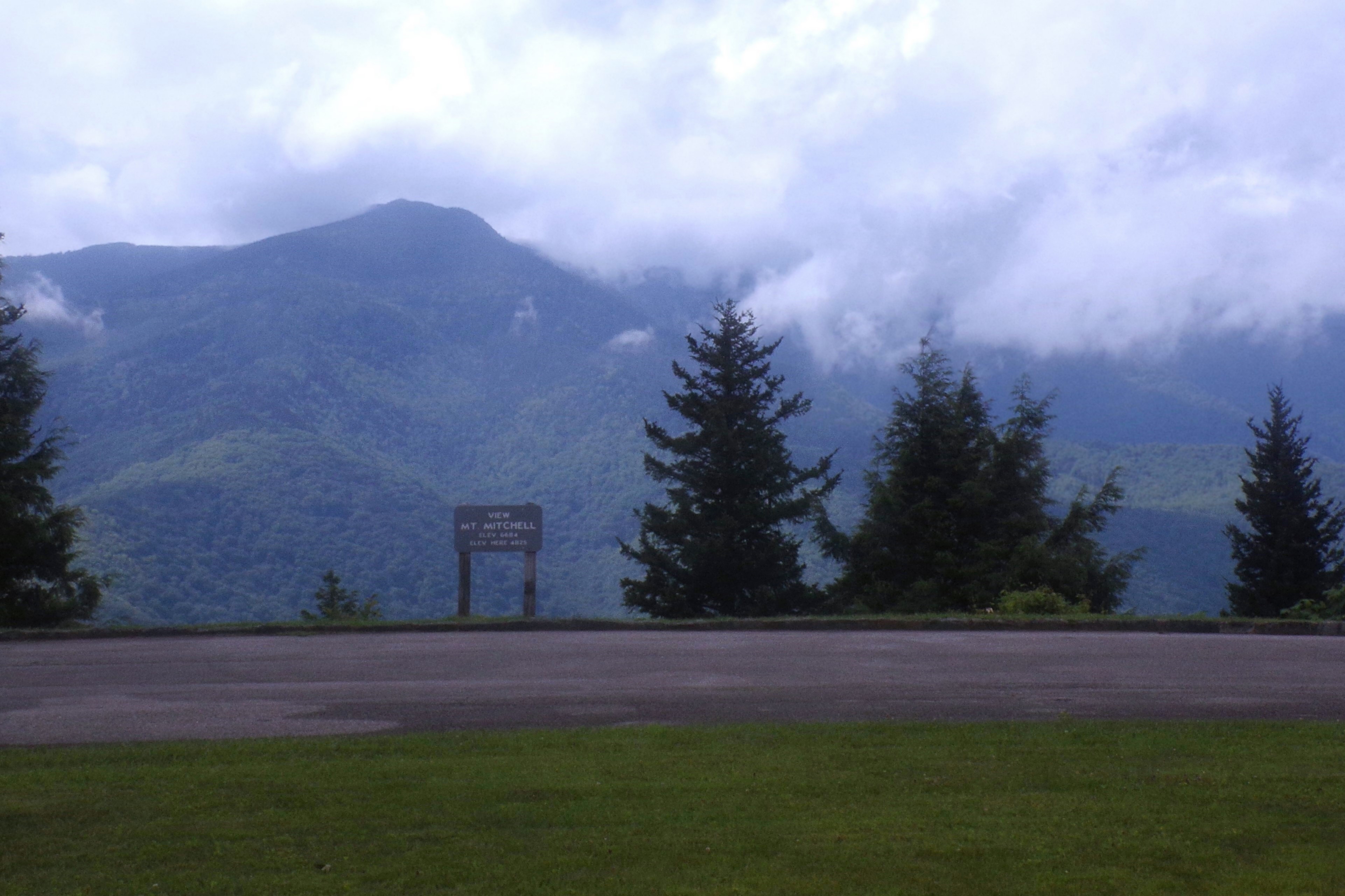
Mount Mitchell is the highest peak east of the Mississippi at 6,684 feet. You can drive to within a short walk of the summit, making it technically easy, but the observation deck at the top and the Fraser fir forest surrounding it are worth the 35-mile drive from Asheville. The Deep Gap Trail to Mount Craig (second highest peak in the east) adds real hiking if you want it. Mount Mitchell State Park, off the Parkway near milepost 355.
Where Are the Best Waterfall and Rock Hikes Near Asheville?
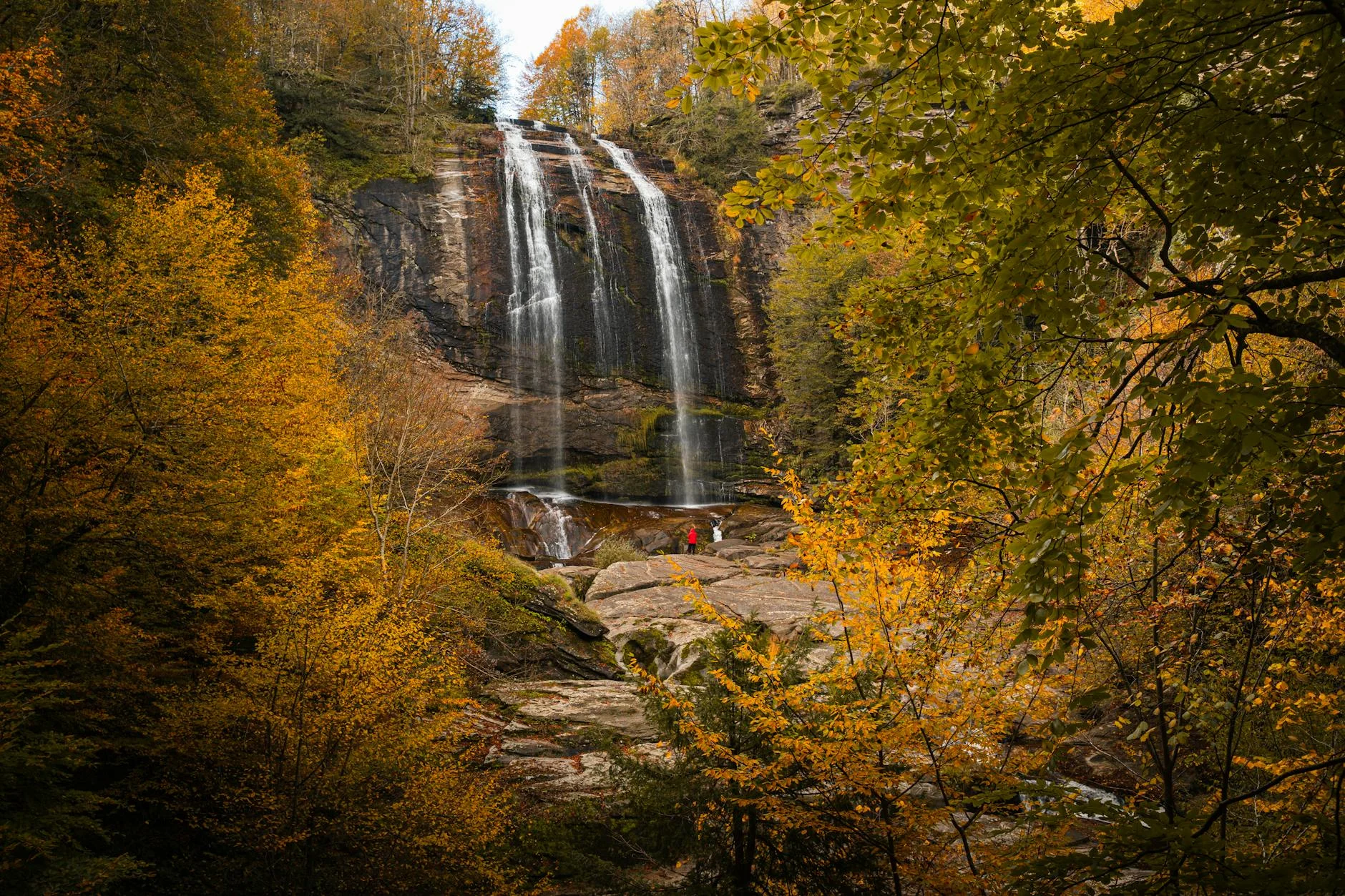
South of Asheville toward Brevard is some of the best waterfall and rock hiking in the Southeast.
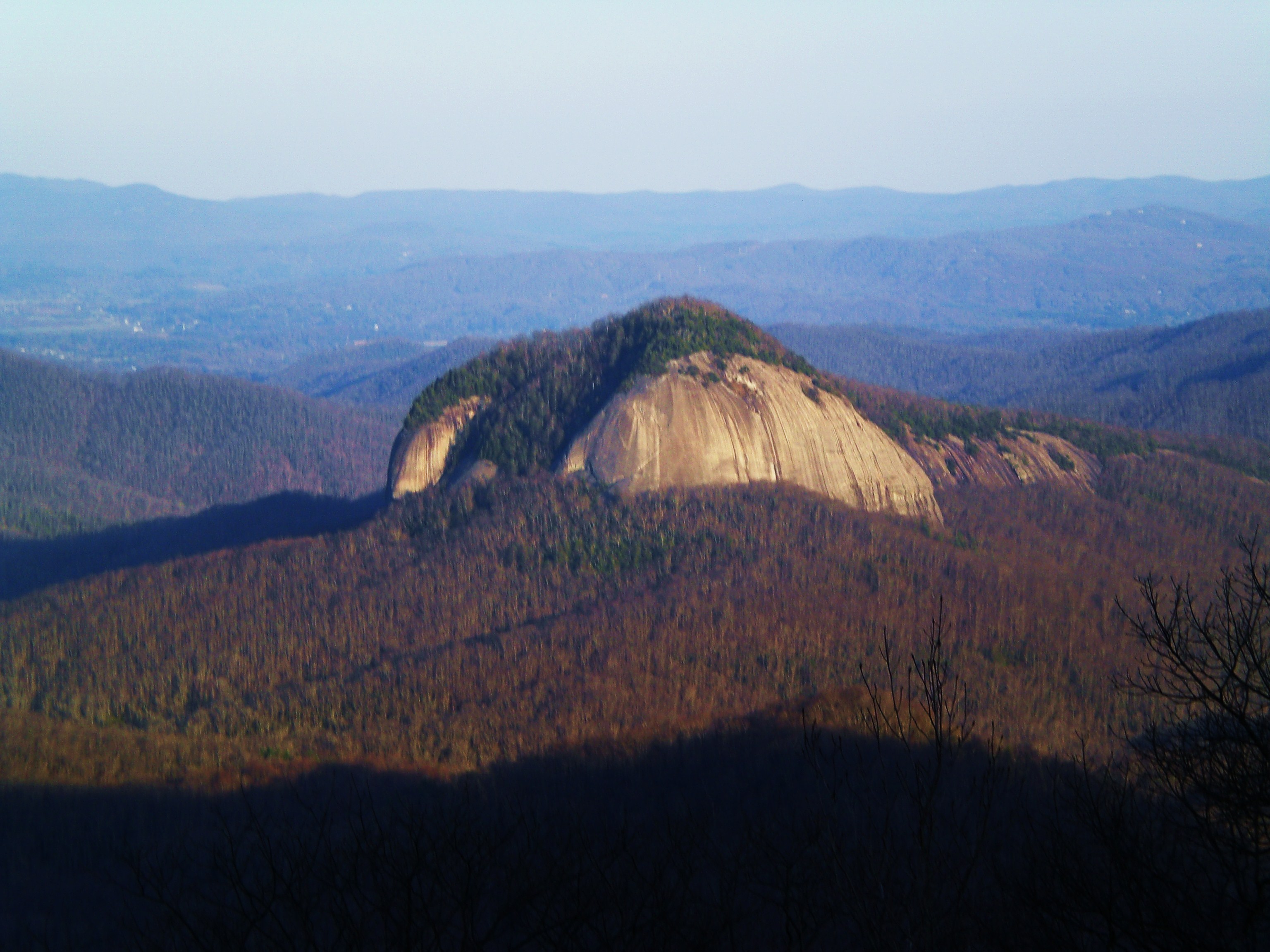
Looking Glass Rock is the big one. A massive granite dome visible from the Parkway, reached by a 6.5-mile round trip with 1,600 feet of gain through dense forest. The summit has 180-degree views that make the steep climb worth it. The granite face gets its name from the way it reflects sunlight after rain. The most popular hike in Pisgah for good reason. Start early on weekends because the trailhead lot fills by 9am.
John Rock is directly across the valley from Looking Glass, offering views back at the dome from its own exposed rock face. The 4.6-mile loop gains 1,200 feet and sees maybe a quarter of the traffic Looking Glass gets. If you’ve already done Looking Glass, this is the next one.
Moore Cove Falls is a 50-foot waterfall you can walk behind. The 1.5-mile round trip is flat and easy on a forest path. It’s near Looking Glass Falls on US-276. Good for families, good for hot days, good for anyone who wants a waterfall without earning it.
Catawba Falls is one of the tallest waterfalls in North Carolina at over 100 feet, and it’s only 3 miles from I-40 near Old Fort. The 3.5-mile round trip with 800 feet of gain follows a recently improved trail with new bridges. Swimming hole at the base. Thirty-five miles east of Asheville. The access is easier than most Pisgah waterfalls.
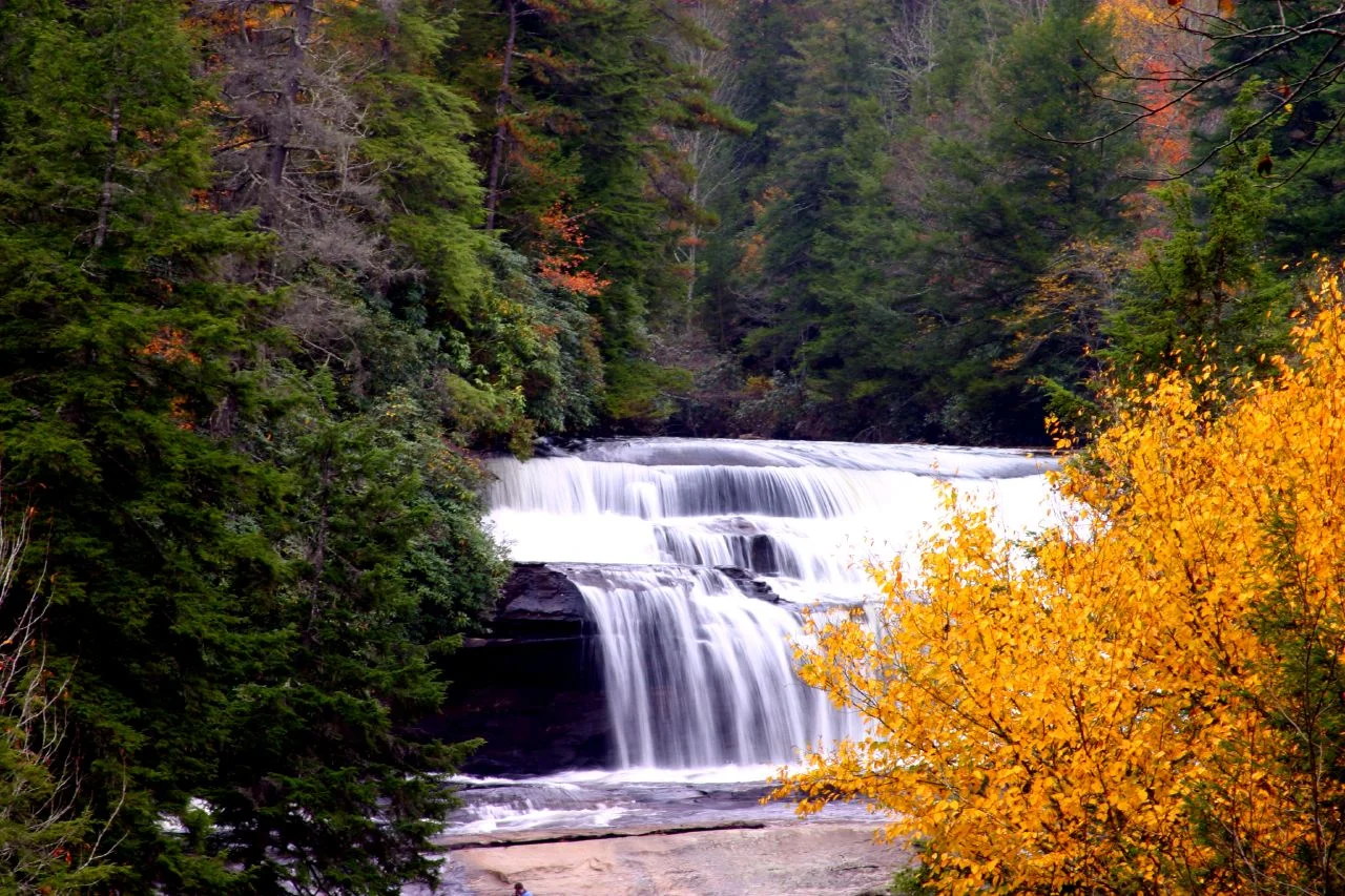
DuPont Waterfalls is a 4-mile loop through DuPont State Forest near Brevard that hits three major waterfalls: High Falls (120 feet, widest in NC), Triple Falls (the Hunger Games filming location), and Hooker Falls (easy swimming hole). The forest is well-maintained with wide gravel paths on the main waterfall routes. Forty miles south of Asheville. Get here early on summer weekends.
Chimney Rock State Park has a 315-foot granite monolith with 75-mile views and Hickory Nut Falls, a 404-foot waterfall that’s one of the tallest in the eastern US. There’s an elevator to the rock if you don’t want to climb. Admission is $17 per adult. Twenty-five miles east of Asheville. More of an attraction than a hike, but the Four Seasons Trail loop gives you real trail time if you want it.
Which Smoky Mountain Trails Are Worth the Drive From Asheville?
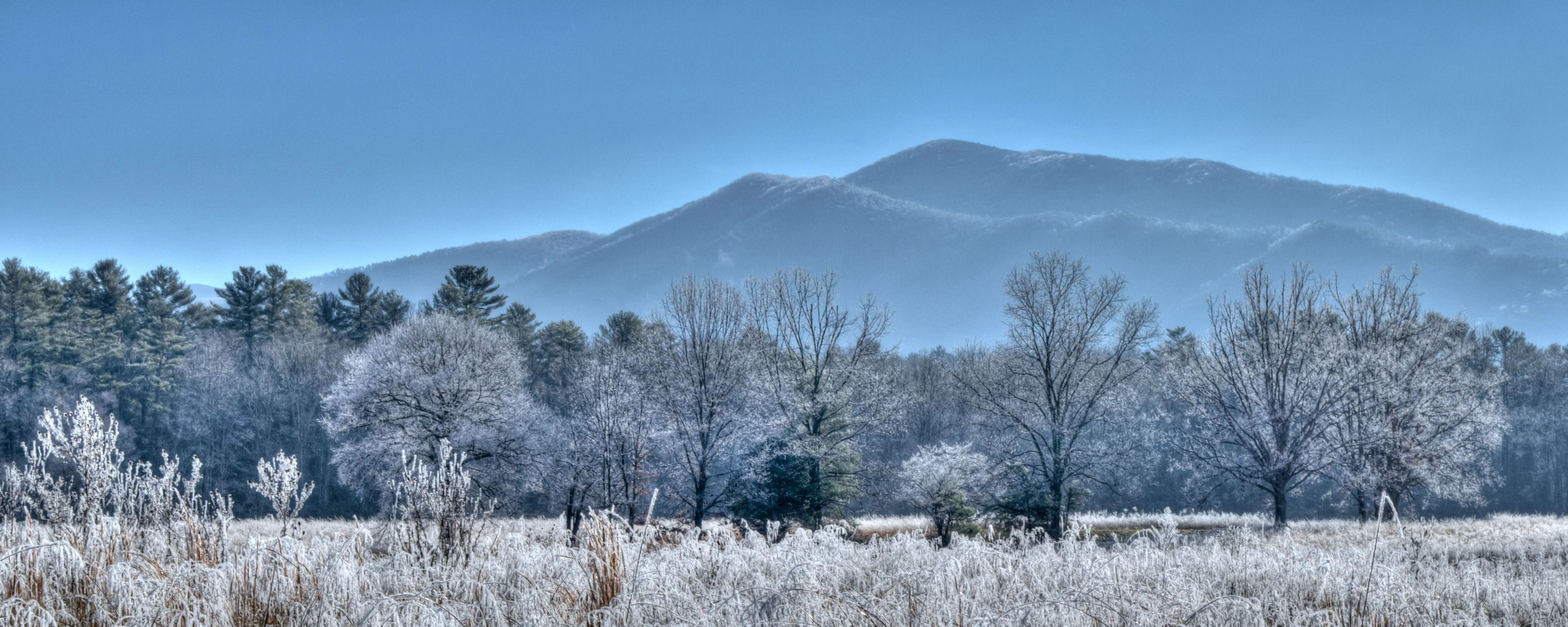
The Smokies are an hour from Asheville via I-40 to Newfound Gap Road. No entrance fee. The trails here are bigger, longer, and wilder than the BRP stuff.
Charlie’s Bunion is 8 miles round trip on the AT from Newfound Gap with 1,600 feet of gain. The rocky outcrop at 5,375 feet has some of the best views in the park. The trail follows the AT through spruce-fir forest along the ridgeline. Go on a clear day or don’t bother. Fog and clouds can soak this ridge for days.
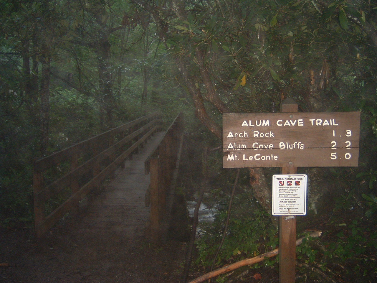
Alum Cave to Mount LeConte is the most-hiked trail in the Smokies and it earns the traffic. The 11-mile round trip gains 2,800 feet, passing Arch Rock, the massive Alum Cave Bluffs, cable-assisted sections through exposed rock, and the Eye of the Needle formation. The summit at 6,593 feet is the third-highest in the park. LeConte Lodge at the top serves dinner if you have a reservation. This is a full-day commitment.
Andrews Bald starts from the Clingmans Dome parking area and drops 1,200 feet over 2 miles to the highest grassy bald in the Smokies at 5,920 feet. The views from the open meadow are spectacular. The catch: you descend to the bald, so the climb is on the way back when you’re tired. Rhododendron and flame azalea bloom here in early June.
Chimney Tops is a 4-mile round trip to an iconic double-pinnacle summit visible from Newfound Gap Road. The final scramble to the top is steep and exposed on bare rock with no railings. The 2016 wildfire damaged the summit area and the trail is rougher than it used to be. Still worth it for the summit experience.
What About Linville Gorge and the High Country?

North of Asheville, the mountains get wilder and the crowds thin out.
Linville Falls at BRP milepost 316 is the most photographed waterfall in North Carolina. The 90-foot plunge into Linville Gorge has four separate overlooks along the Erwins View Trail. Easy 2-mile round trip, family-friendly. Sixty-six miles from Asheville.
Table Rock overlooks Linville Gorge from 2,000 feet above the river. The 2.2-mile round trip gains 600 feet to a flat summit platform with cliff-edge views. Short, punchy, and the gorge views are the best you’ll get without a multi-day backpack. Seventy-eight miles north.
Rough Ridge on the Tanawha Trail at BRP milepost 302 has rock outcroppings with views of Grandfather Mountain and the Linn Cove Viaduct. A wooden boardwalk crosses fragile alpine vegetation before reaching exposed rock platforms. Three miles round trip and one of the best short hikes on the northern Parkway.
Grandfather Mountain via the Profile Trail is 6 miles round trip with 2,000 feet of gain to Calloway Peak at 5,946 feet. The trail has ladders, cables, and exposed rock. This is the real Grandfather Mountain experience, not the tourist side with the Swinging Bridge ($24 admission). The Profile Trail lot on NC-105 is free.
How Do the Top Trails Near Asheville Compare?
| Trail | Miles | Difficulty | Drive Time | Best For |
|---|---|---|---|---|
| Craggy Gardens | 1.5 | Easy | 18 min | Quick summit + rhododendrons |
| Devil’s Courthouse | 0.8 | Easy | 40 min | 4-state views, shortest hike |
| Black Balsam Knob | 2.0 | Easy-Moderate | 40 min | Grassy balds, 360 views |
| Mount Pisgah | 3.0 | Moderate | 30 min | Classic local summit |
| Graveyard Fields | 3.2 | Easy-Moderate | 40 min | Two waterfalls + swimming |
| DuPont Waterfalls | 4.0 | Easy-Moderate | 40 min | Three waterfalls, Hunger Games |
| Looking Glass Rock | 6.5 | Hard | 30 min | Granite dome summit |
| Charlie’s Bunion | 8.0 | Hard | 55 min | Best Smokies day hike views |
| Grandfather Mountain | 6.0 | Hard | 80 min | Ladders + cables + summit |
| Alum Cave to LeConte | 11.0 | Very Hard | 65 min | Full-day Smokies epic |
Best overall: Black Balsam Knob. Best waterfall: DuPont Waterfalls (three in one loop). Best summit view: Charlie’s Bunion. Best challenge: Alum Cave to Mount LeConte. Best for families: Moore Cove Falls. Best quick hike: Devil’s Courthouse.
Asheville earns the hiking reputation. The density of world-class trails within an hour is unmatched on the East Coast. You could spend a full season here and not run out of new ground.








Frequently Asked Questions
What is the best hike near Asheville NC?
Black Balsam Knob on the Blue Ridge Parkway is the best hike near Asheville. The grassy bald summit at 6,214 feet offers 360-degree mountain views with minimal effort. For more challenge, Looking Glass Rock in Pisgah National Forest has a steep granite dome summit.
What are the best waterfall hikes near Asheville?
DuPont State Forest has Triple Falls, High Falls, and Hooker Falls all on one trail system. Looking Glass Falls on US-276 is a 60-foot roadside waterfall. Catawba Falls in Pisgah National Forest is a newly improved trail to a stunning cascade.
How far is the Blue Ridge Parkway from Asheville?
The Blue Ridge Parkway runs directly through Asheville. The best hiking section is south of the city between mileposts 400 and 425, where you can reach Black Balsam Knob, Graveyard Fields, and Devil's Courthouse within 45 minutes of downtown.